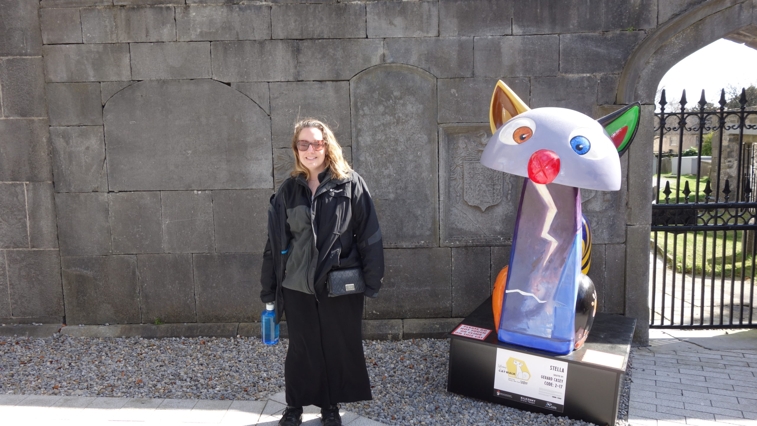
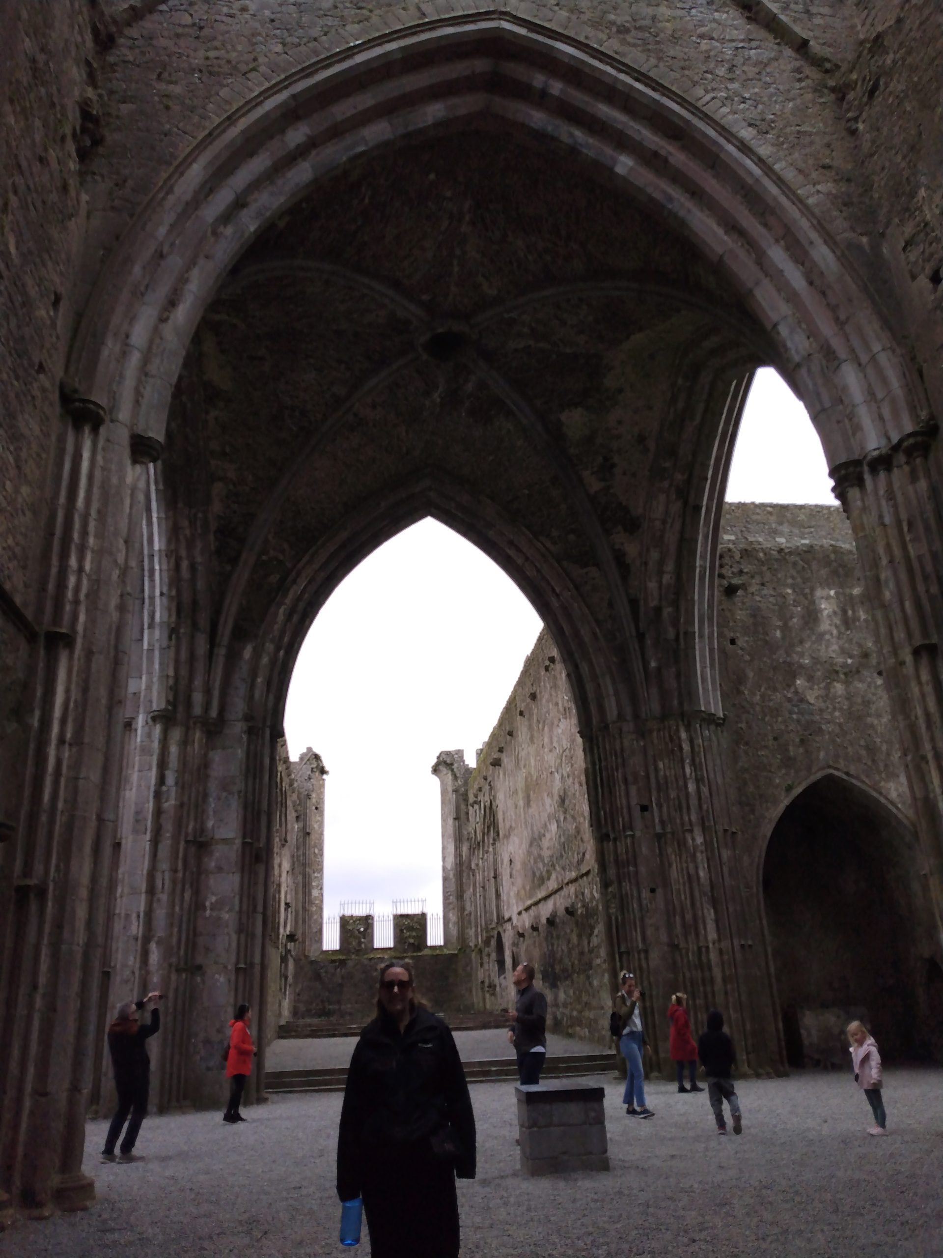
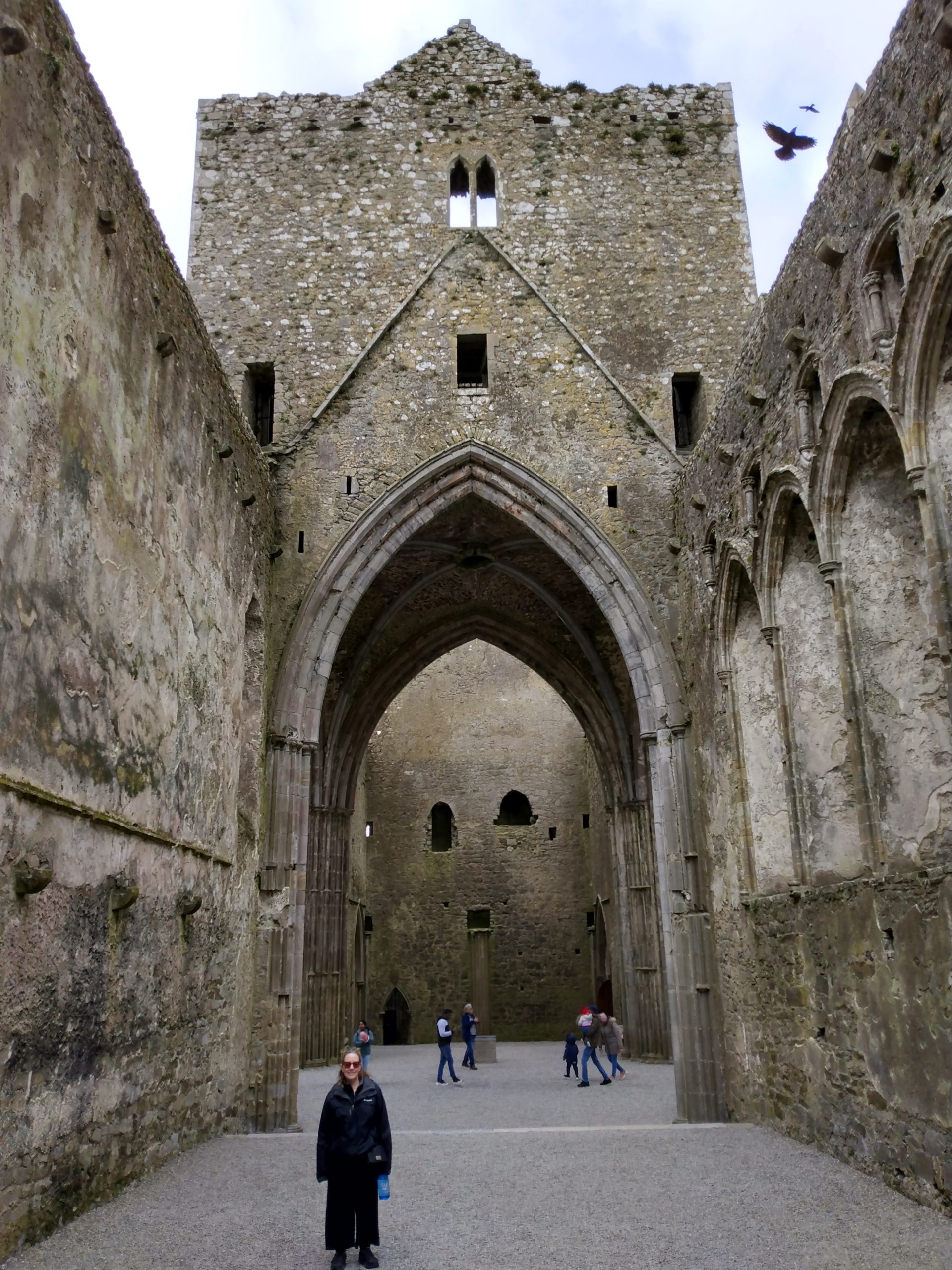
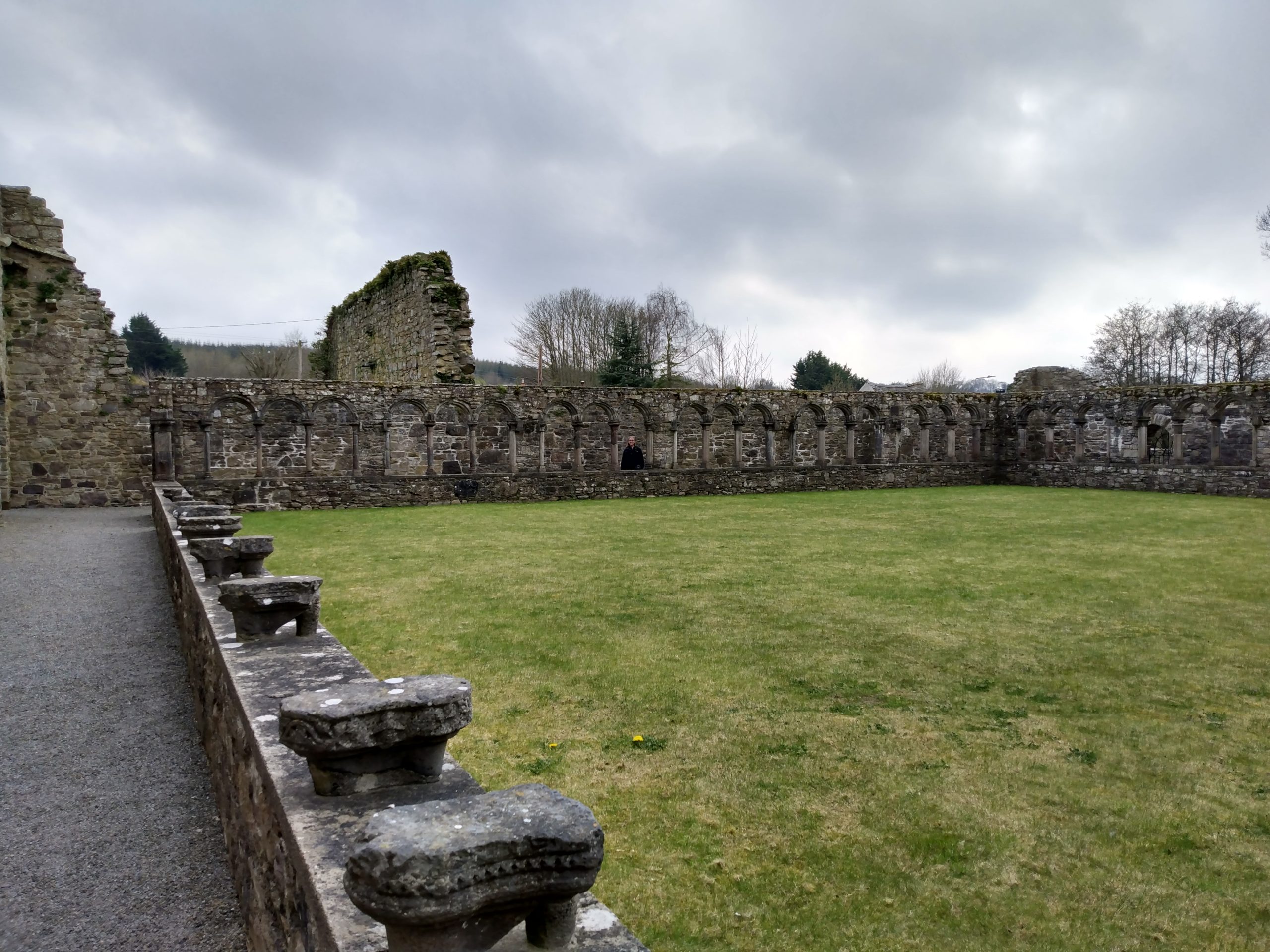
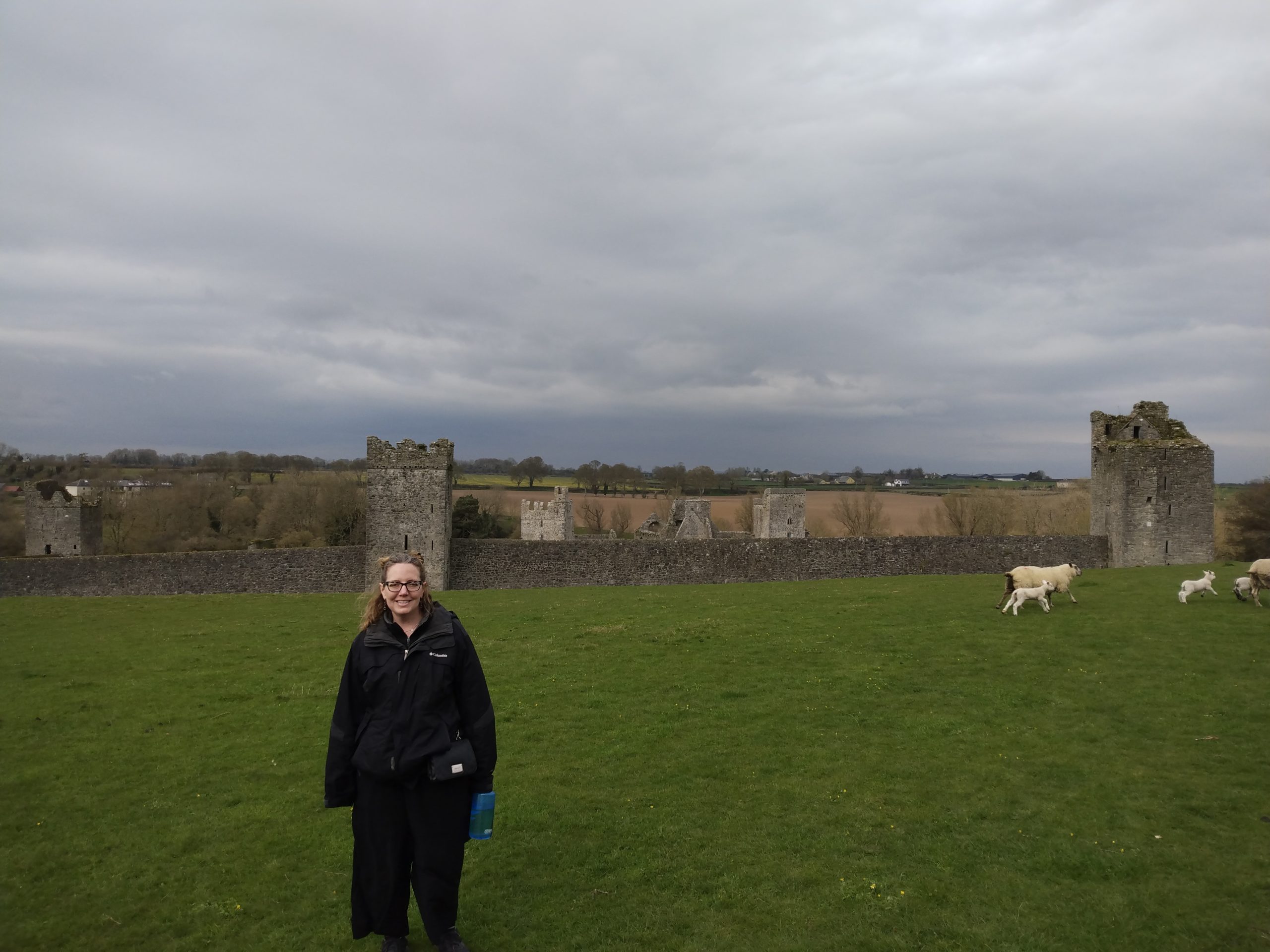
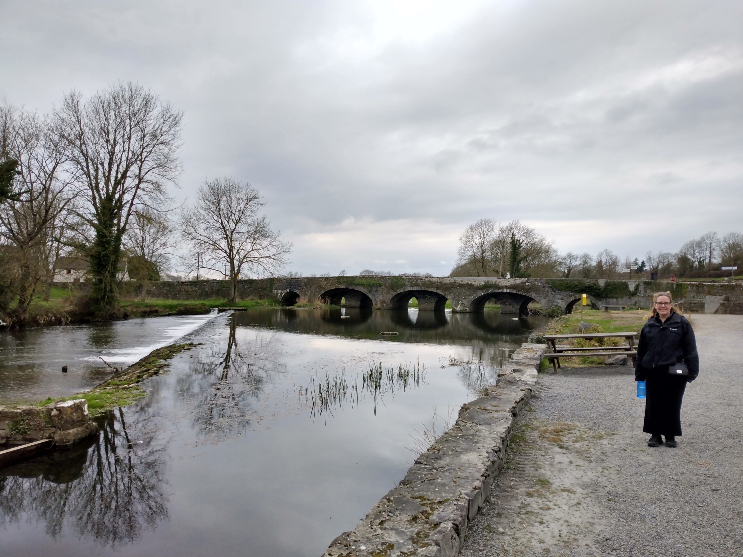
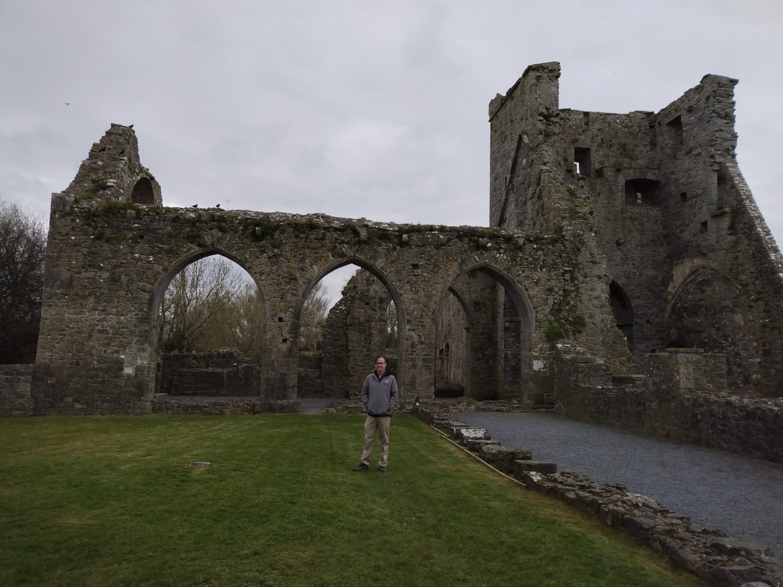
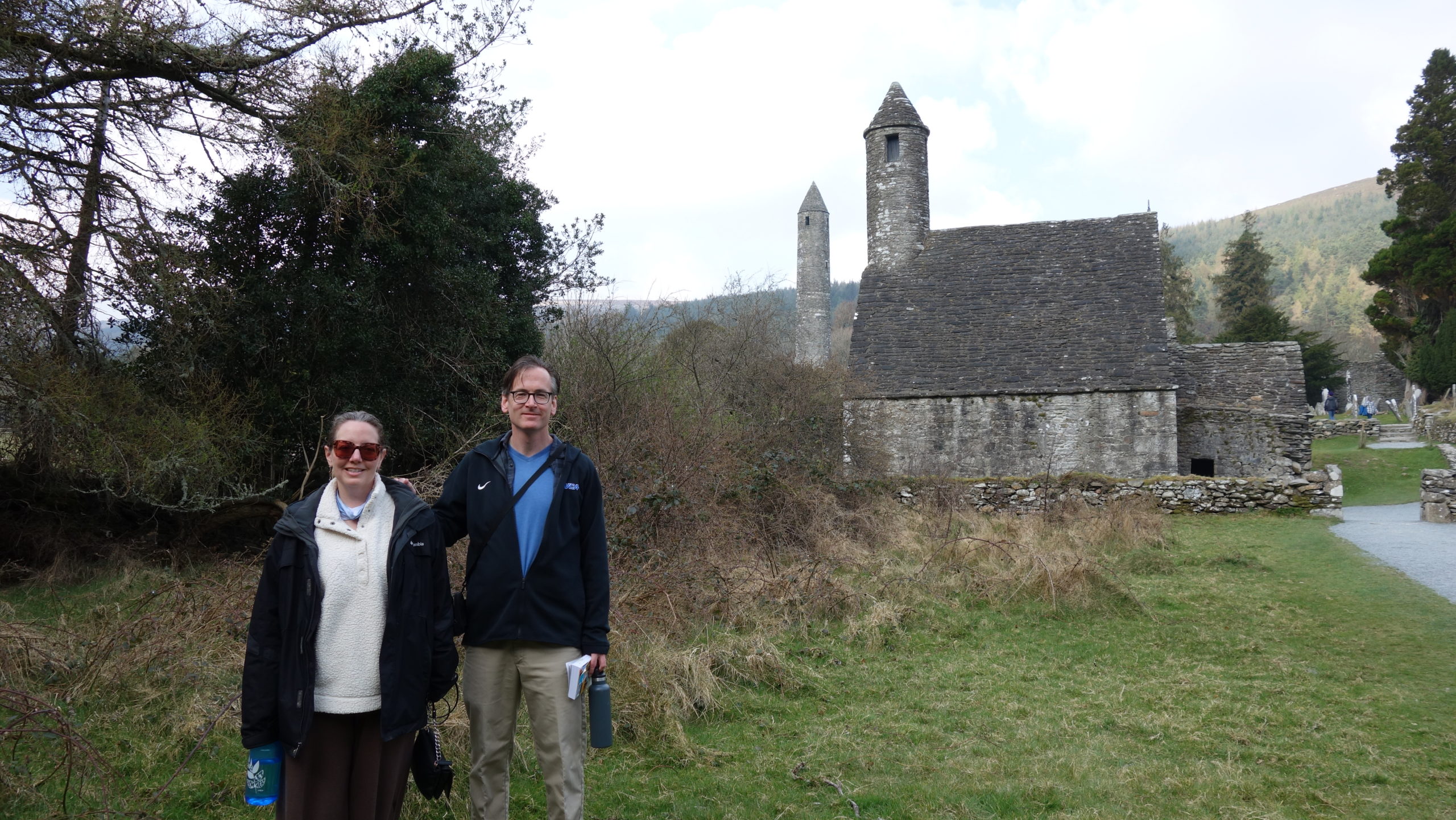
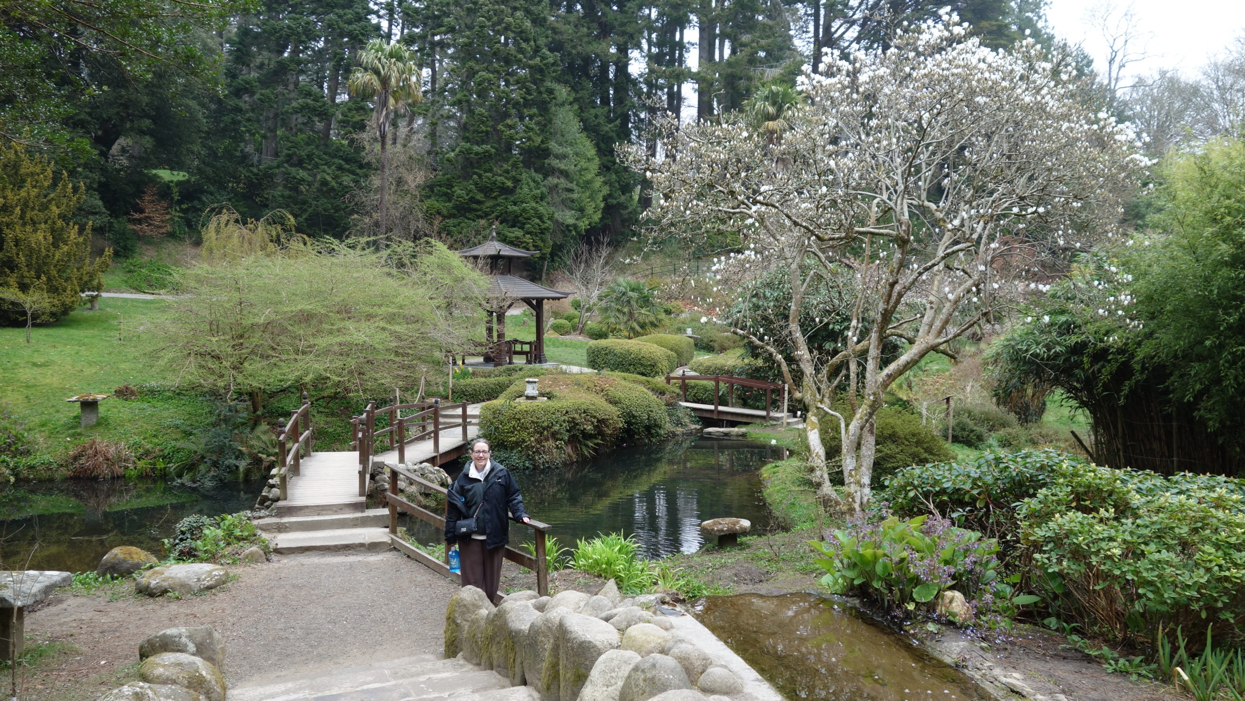
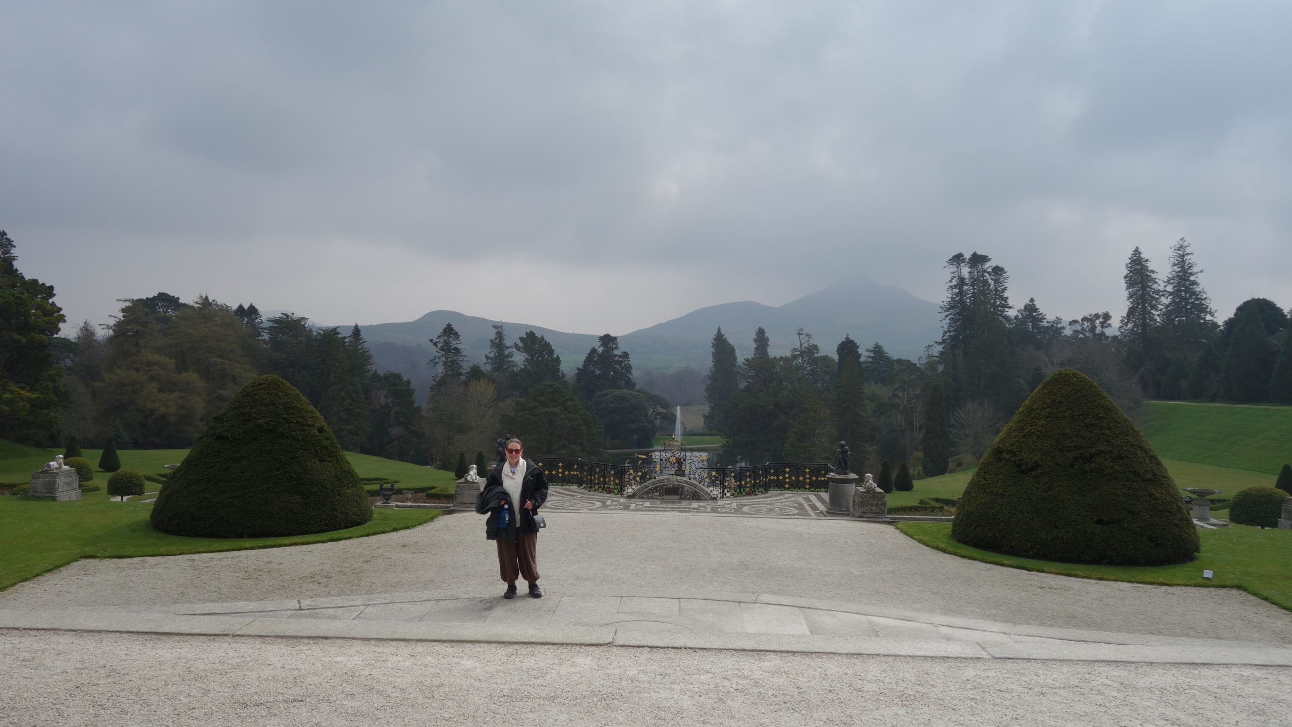
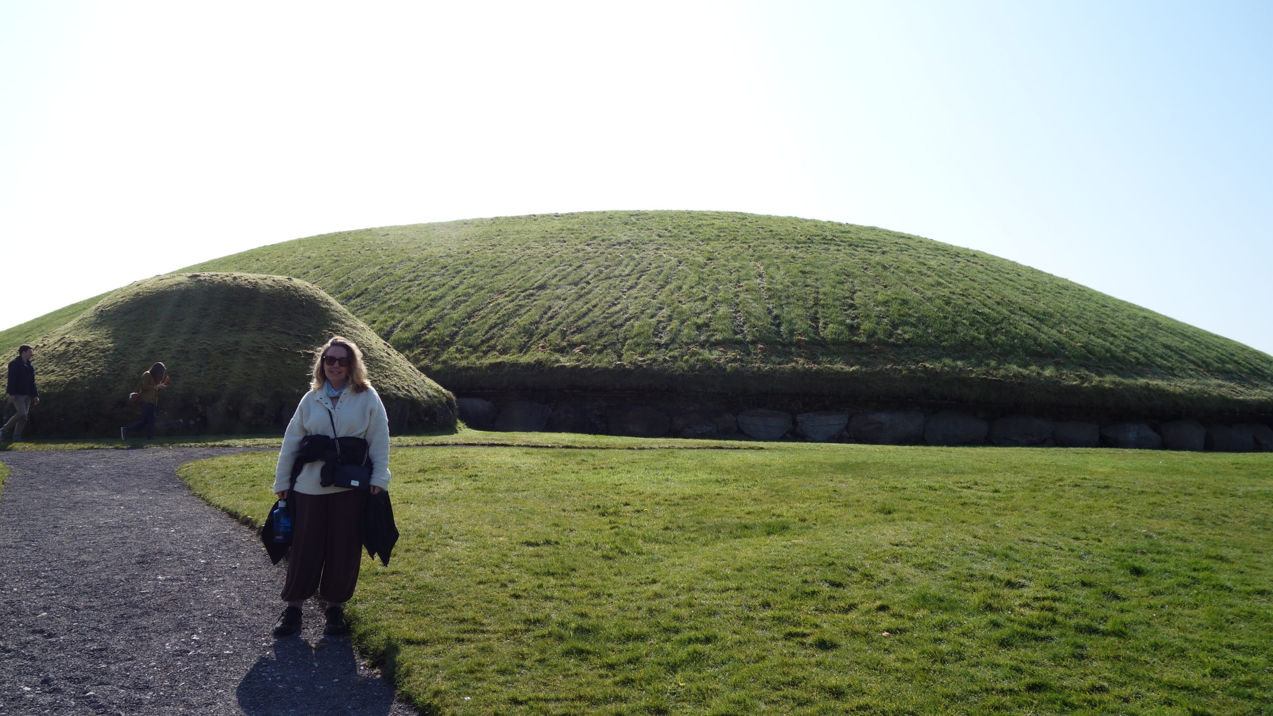
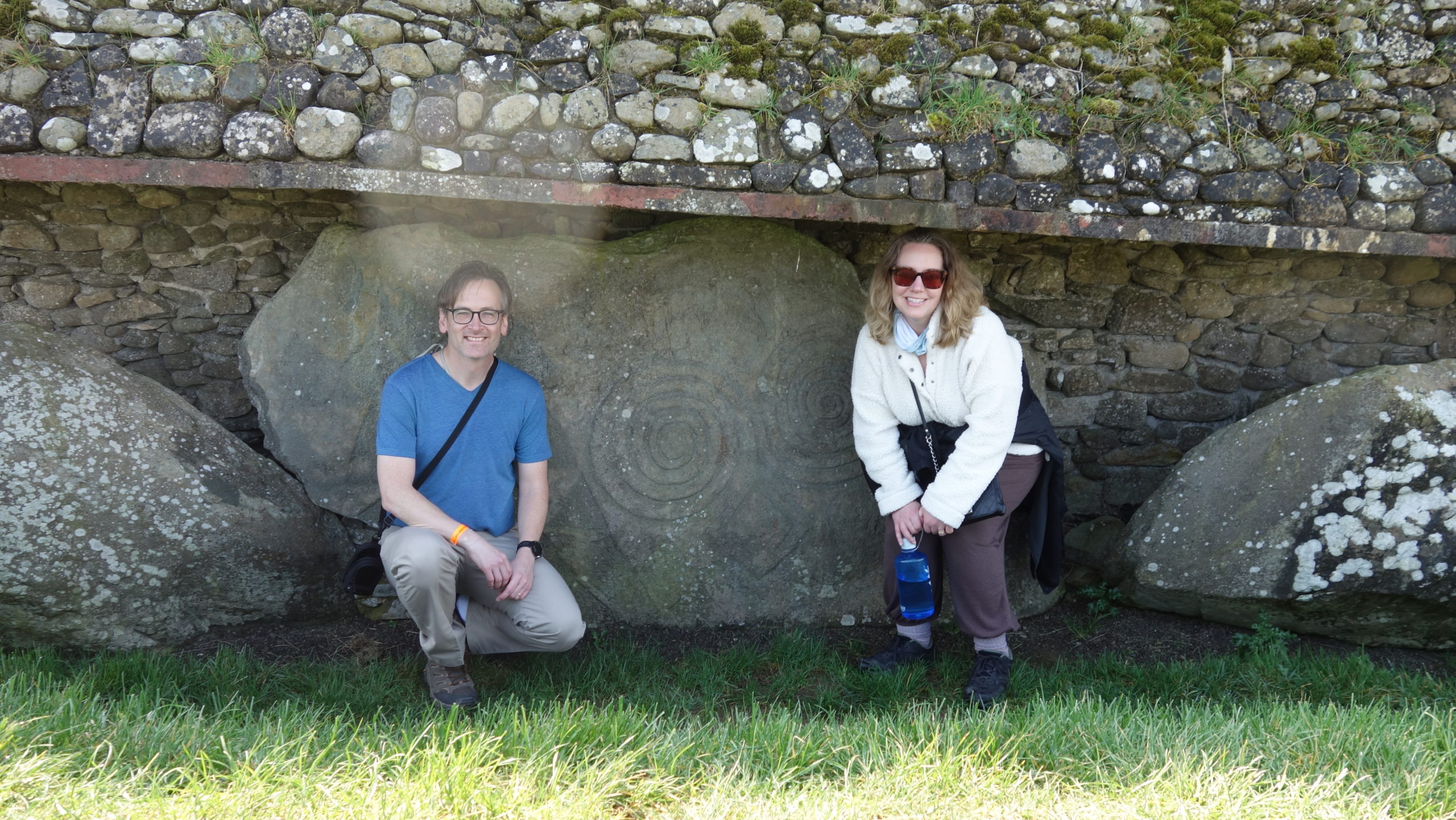
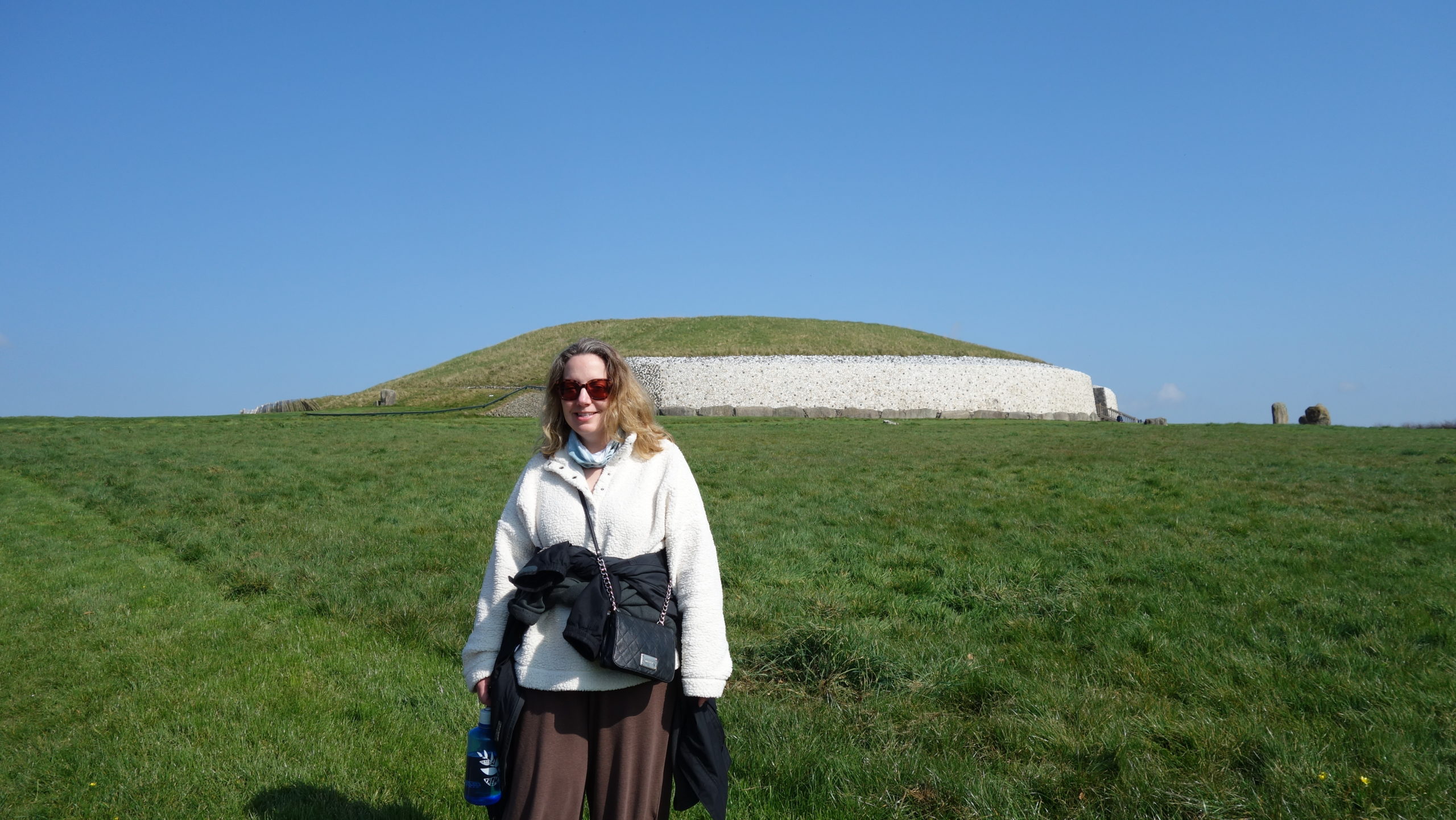
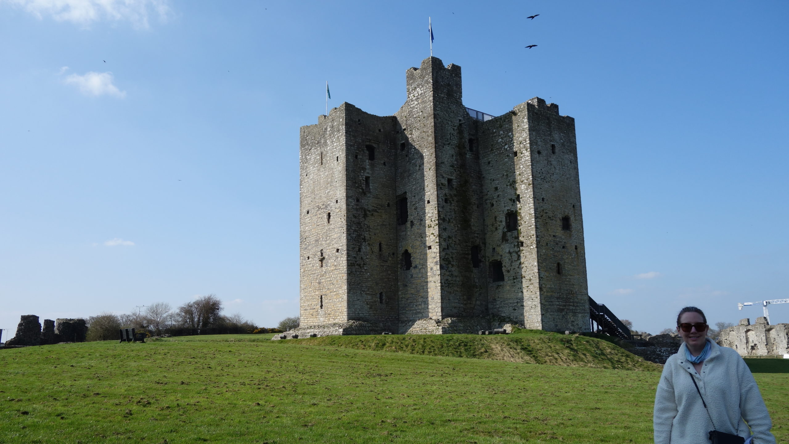
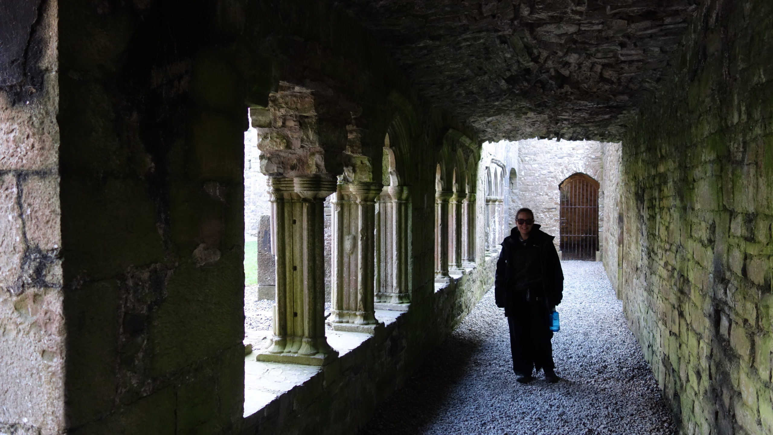
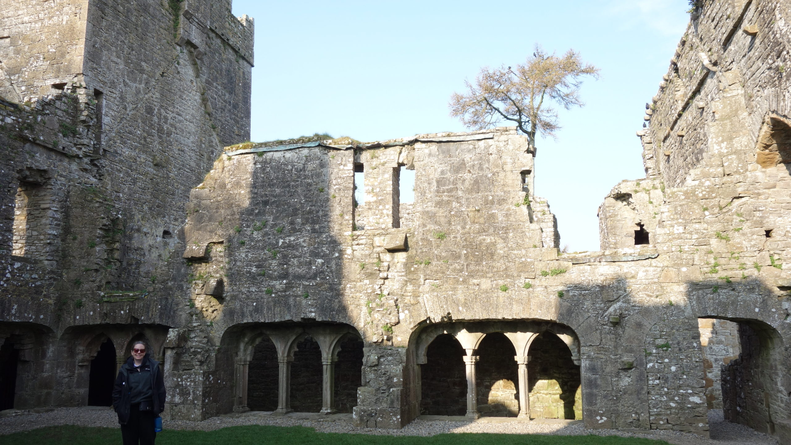
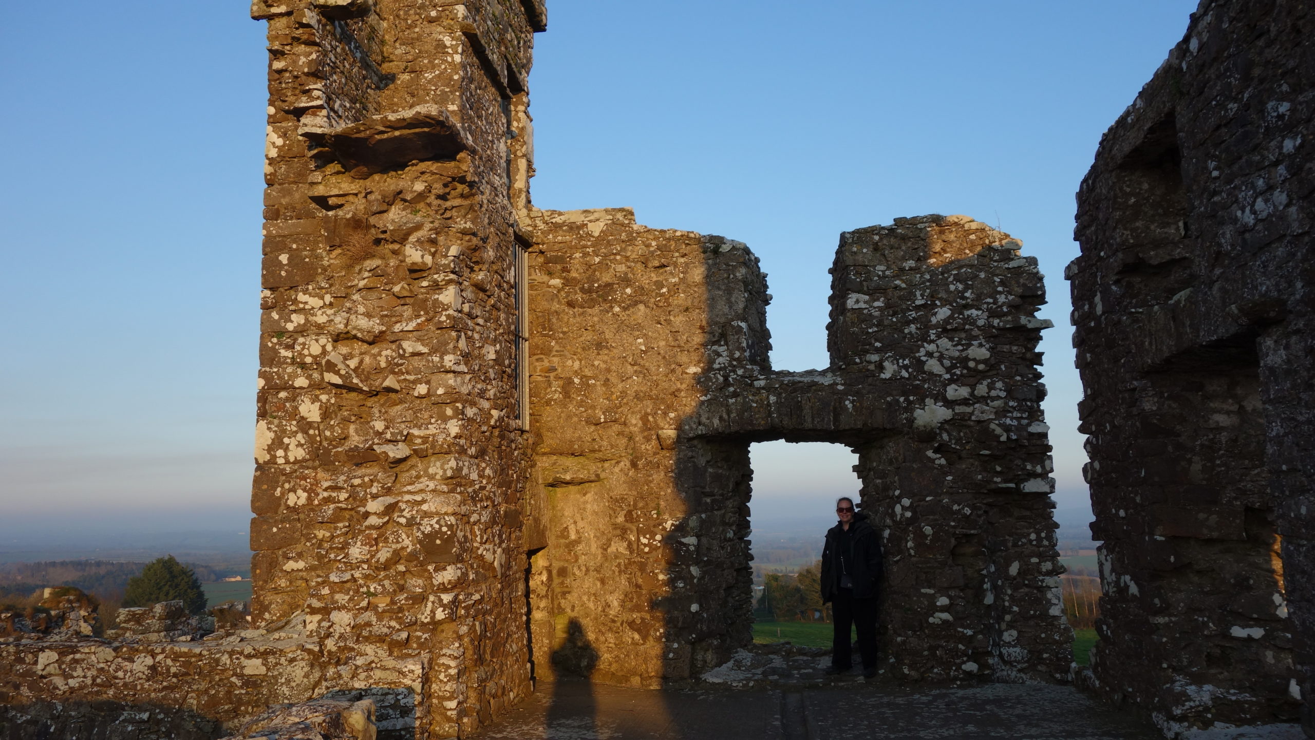
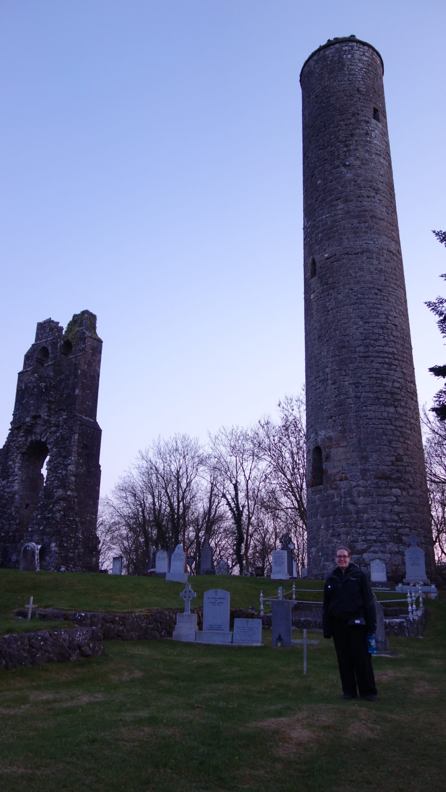
 Some days of touring are highly inefficient. Today was one such day. The way things are with Covid, combined with my mistakes, costs time. That is international travel for us.
We started the day by walking to Merrion Street by aiming for Merrion Square Park. We were meeting Alexander, a local guide, at 10:00. I plugged the destination into my phone, and away we went. We walked quite awhile, and I was getting a little worried about being late, when we saw the square. Only it wasn’t the square – it was St. Stephen’s Green, which is a good ten-minute walk from Merrion Square Park. My phone had locked up, and so I had overshot the correct place. So much for technology. We hightailed it to the correct place and met Alex, only being five minutes late.
Alex was our guide for a three-hour (which turned into almost four hours) tour of Irish authors. I figured Mer would love it, which she did. We met at Merrion Square because our first author, Oscar Wilde, had lived there. Alex told us of the background for Wilde’s life and his complicated family and personal life. Alex’s personal take is that Wilde had a self-destructive tendency in his life that drove some of his art (especially The Picture of Dorian Grey).
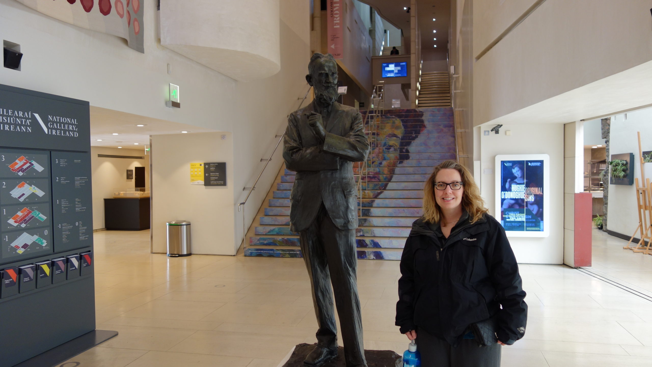 We then walked over to the National Galley of Art to visit GB Shaw’s statue, which is placed there since Shaw was a major contributor of art and money when the museum was opening. Alex told us of how Shaw was highly political, and how Shaw moved from a position of believing that people were basically good and would continue to get better to a later position of believing that people were chaotic and irrational.
Our third author was William Butler Yeats, and we went to the National Library, where there was an exhibition on his work. We learned how Yeats was probably the most influential writer in Irish history, since he was writing around the time of Irish Independence. Yeats also was dedicated to preserving and creating a distinct Irish culture separate from England’s. Yeats essentially created his own religion/spiritual world view, and had complicated relationships with his wife and several other women, especially a woman whom he viewed as a type of muse for him.
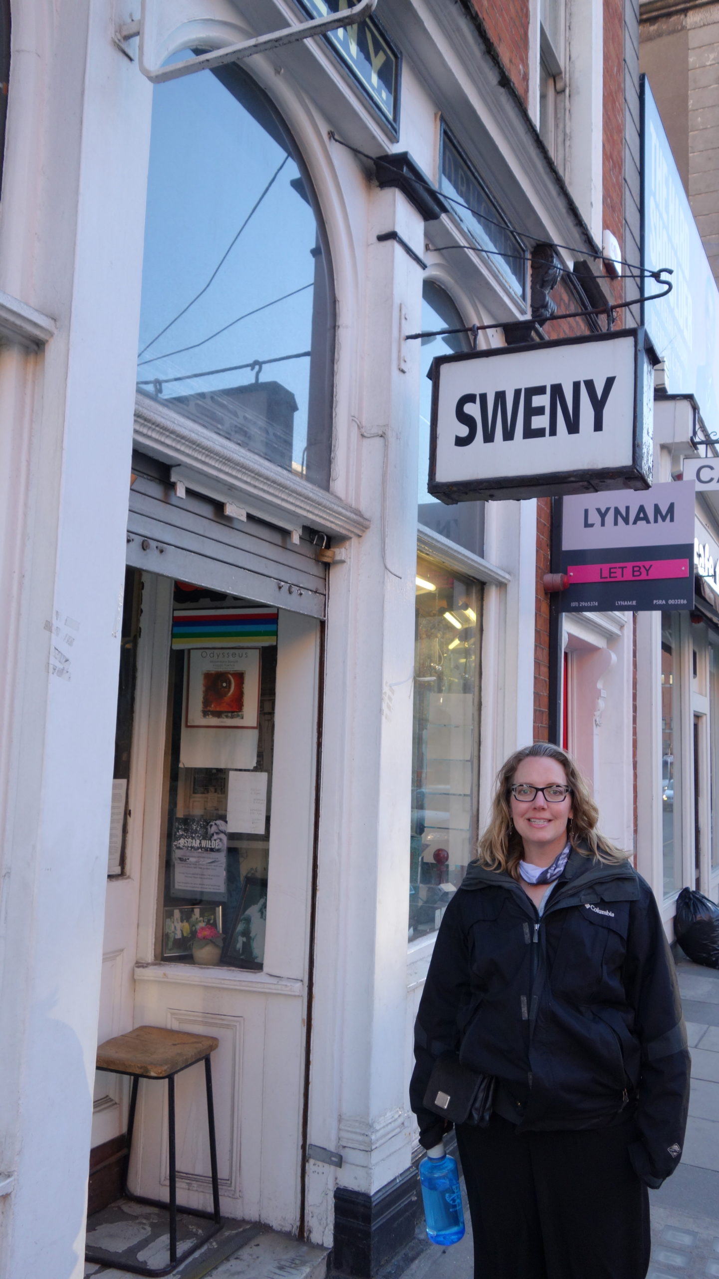
We then walked back to Sweny’s Pharmacy to talk about James Joyce. We learned that Ulysses was banned in Ireland as obscene until the 1960s, forty years after it was published in France.
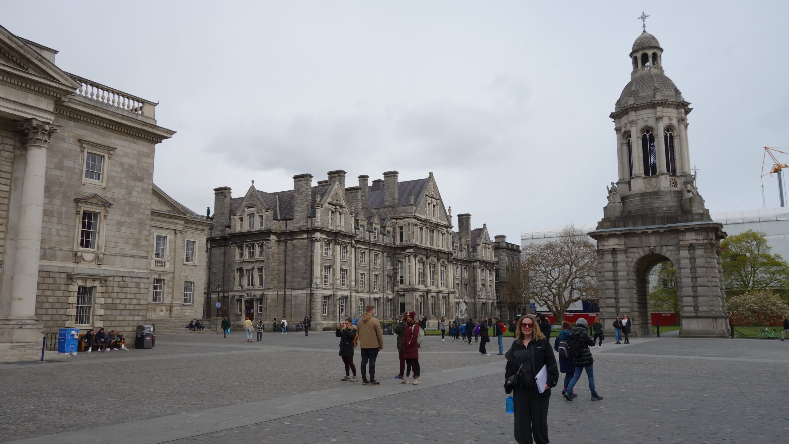
On to Samuel Beckett and a theater named for him on the campus of Trinity College. Beckett was obsessed with Joyce, and struggled to find his own voice for many years. Beckett taught French at Trinity, and eventually moved to Paris, and there he found he was able to write well in French. He is credited with saying, “Joyce has written about everything; therefore, I shall write about nothing.” Beckett is best known for Waiting for Godot, a play in which nothing really happens; Beckett believed that there was no absolute God-given point to existence and that the world tended toward absurdity.
 We finished at the Abbey Theater, where we heard about Lady Gregory, one of the founders of the place (as was Yeats). Lady Gregory took the time to learn the Irish language, and then she set about preserving and translating the local folk tales.
We walked over to the Dublin Writers Museum, but the doors were locked. So Alex took us to a pub for a late lunch (it was 2:00), and we said goodbye to him and to an interesting tour.
Now more inefficiencies began to creep into the day. By the time we finished lunch, it was about 3:00, and so we hiked the forty minutes back to our room because we had to make sure we had time to take our Covid tests that are required to get back into the United States. By the time we had that all wrapped up and the passing tests printed out, it was almost 6:00. I had plans for us at 8:00, so off we went. Forty minutes. In the now-raining and cold outside. To get to about four blocks from where we had been. To go to a storytelling session at the National Leprechaun Museum. To find out I had booked the wrong date for the tickets and the show was sold out.
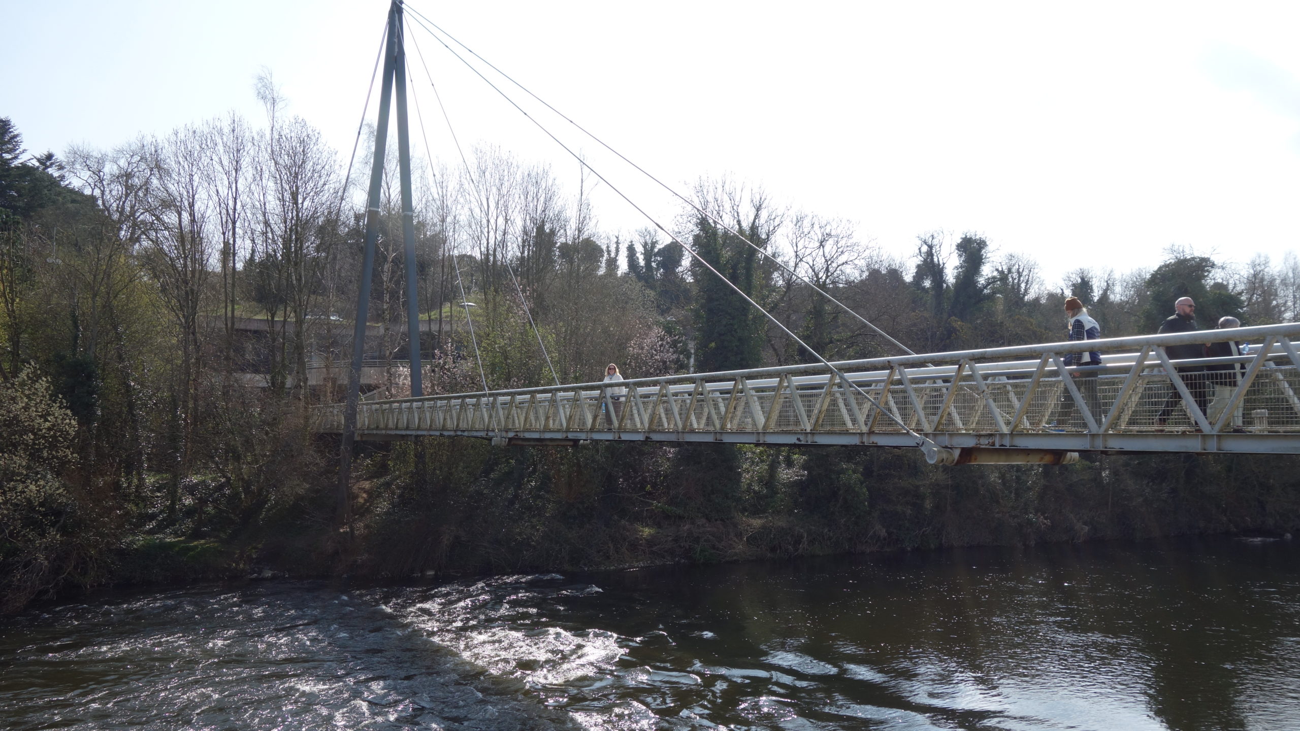
A rather long walk back to our B and B area ensued. But at least the rain stopped along the way. A good supper helped, but it had meant that our touring for the day essentially ended at 2:00 – not the best bang for the buck. But still, a good tour today, and the rest of the vacation went off stunningly well, especially with the weather – today was the first time we actually got rained on in six days In Ireland in the spring. That is not statistically likely, and we are grateful for our time here this week. What a blessing to get to travel here.
So we are off early to Dublin Airport tomorrow, where staff shortages seem to be creating long lines and other inefficiencies. We are going to aim to get there and have the car returned by 9:00 for a 12:30 flight. After that, here’s hoping we have smooth travels back home.