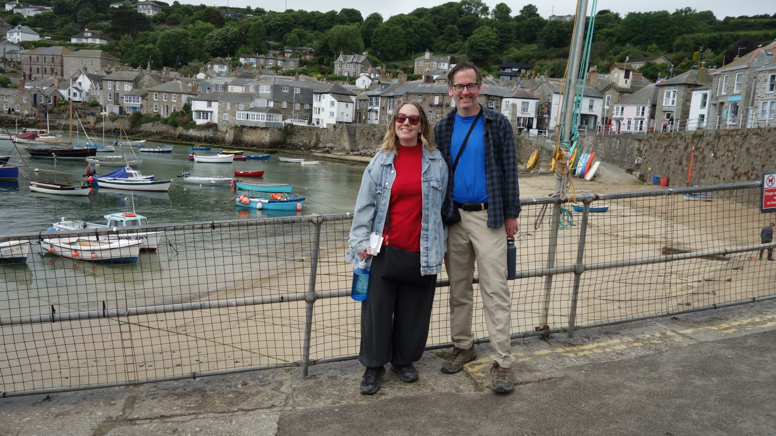
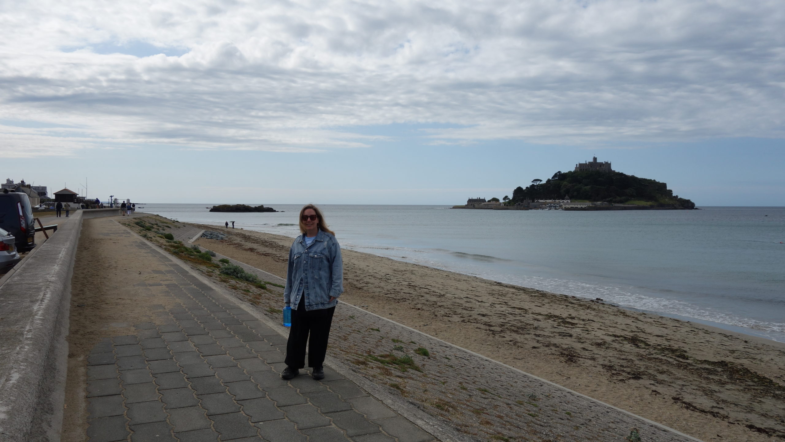
 Today was very much about cliffs and gardens and the sea, and how they interact in spectacular ways. We stared the day off driving the short distance to a parking lot across from St. Michael’s Mount, home of the St. Aubyn castle and gardens. There is a causeway that connects the island to the mainland, but it is only accessible at low tide. In a country with twenty-foot high tides, it is only above water nine hours (or fewer) per day. But, as bonus, we got out on the sea in a boat Cornwall, even if for only about five minutes.
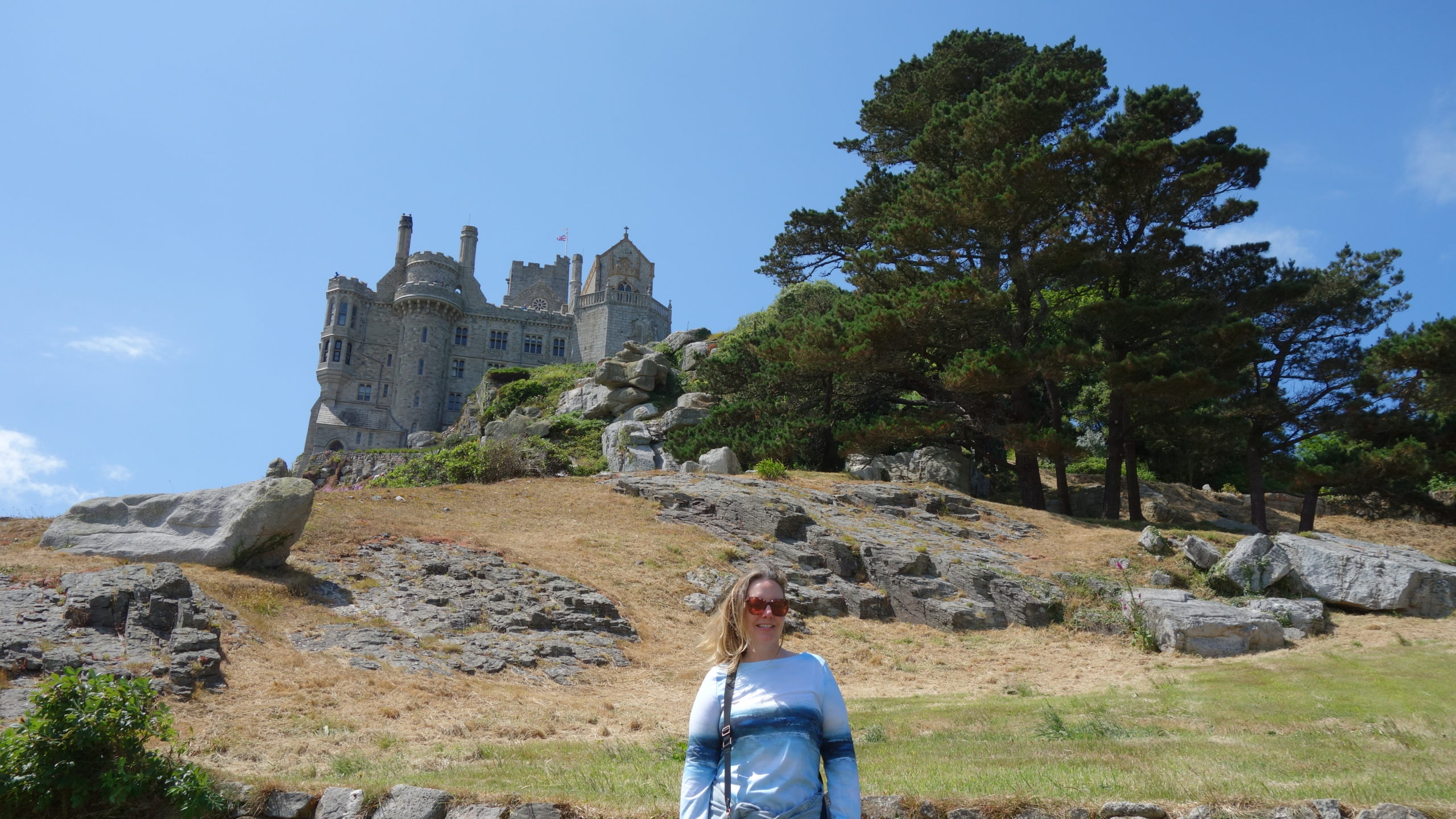
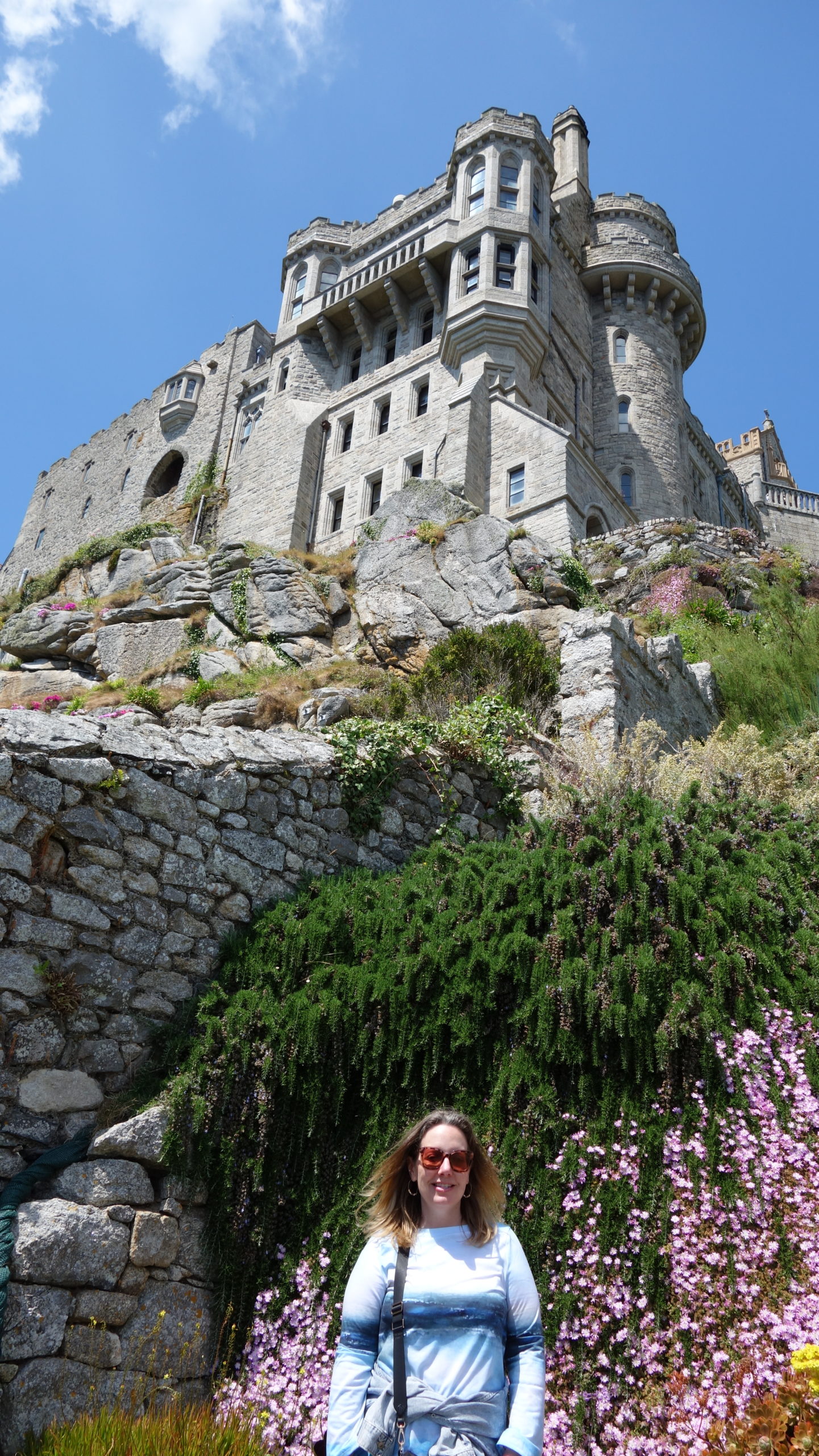
 St. Michael’s Mount is like the little brother version of the more famous Mont St. Michel in France, which is huge monastery on a tidal island. St. Michael’s Mount actually started as a very small monastery founded by the abbot of the French one. It was an “are-you-tough-enough” training school for graduating to Mont St. Michel, and stayed that way for over three hundred years until Henry VIII grabbed all the monasteries. It then became a fortress until the English Civil War, when Parliamentarians got it after surrounding it. When the monarchy was restored, the St. Aubyn family, who had gotten used to living there, paid the former owner eight hundred pounds for the place, and it is still in the family, now the twelfth-generation owners of the castle that sits on the island.
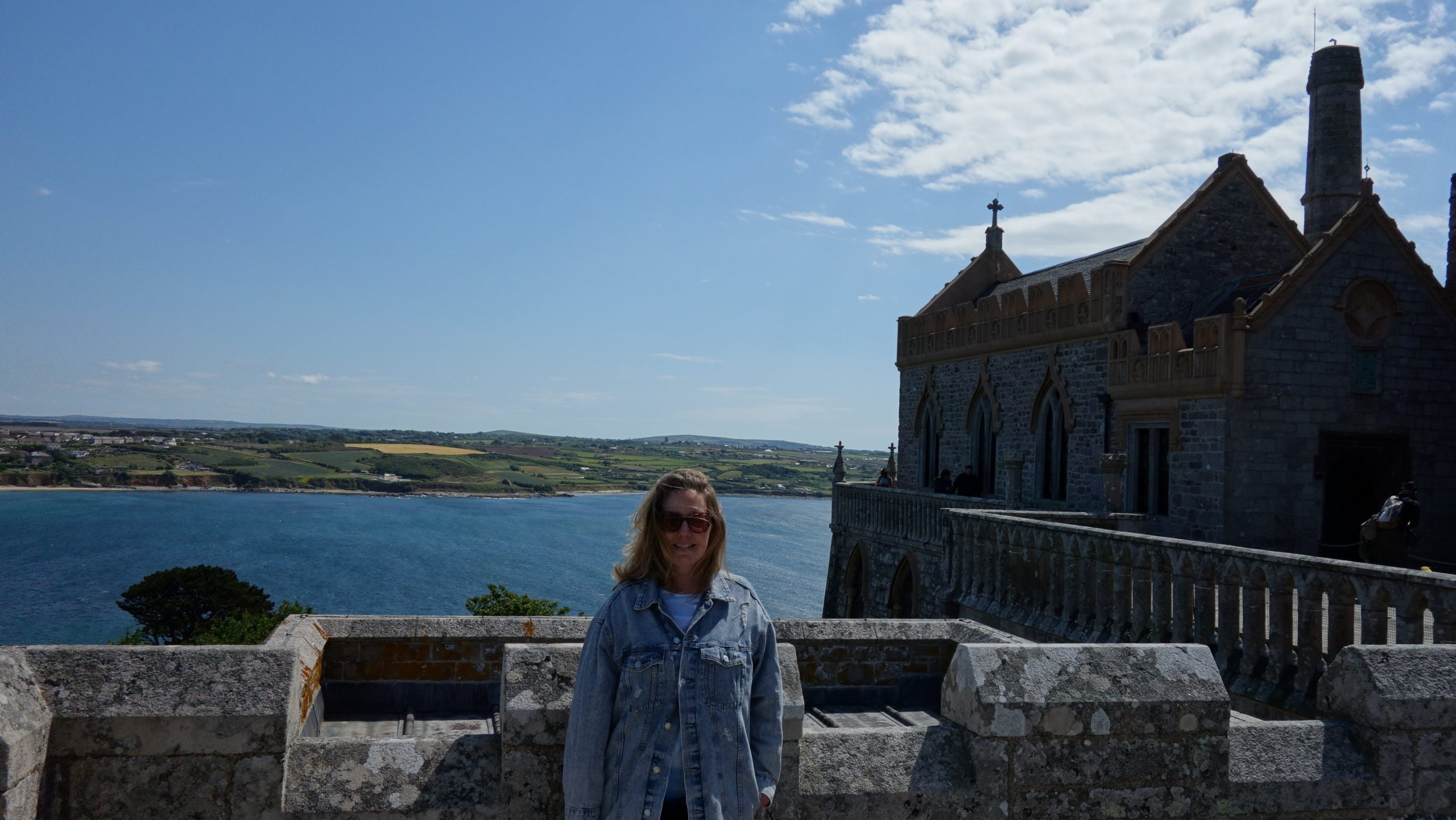
The house/castle is open to visitors to help with the cost of upkeep, and much of the island and the causeway were gifted to the National Trust so that they could keep those up. At any rate, it is a beautiful castle in a stunning location, and the inside feels like a luxurious, but livable, home. It was good to tour it.
 The chapel of the castle is where the old monastic church was, but that original structure was probably made of wood and is long gone. The chapel is small, but looks as if it can hold about fifty people, and they have services (public invited) every Sunday in summer. It is a pretty space.
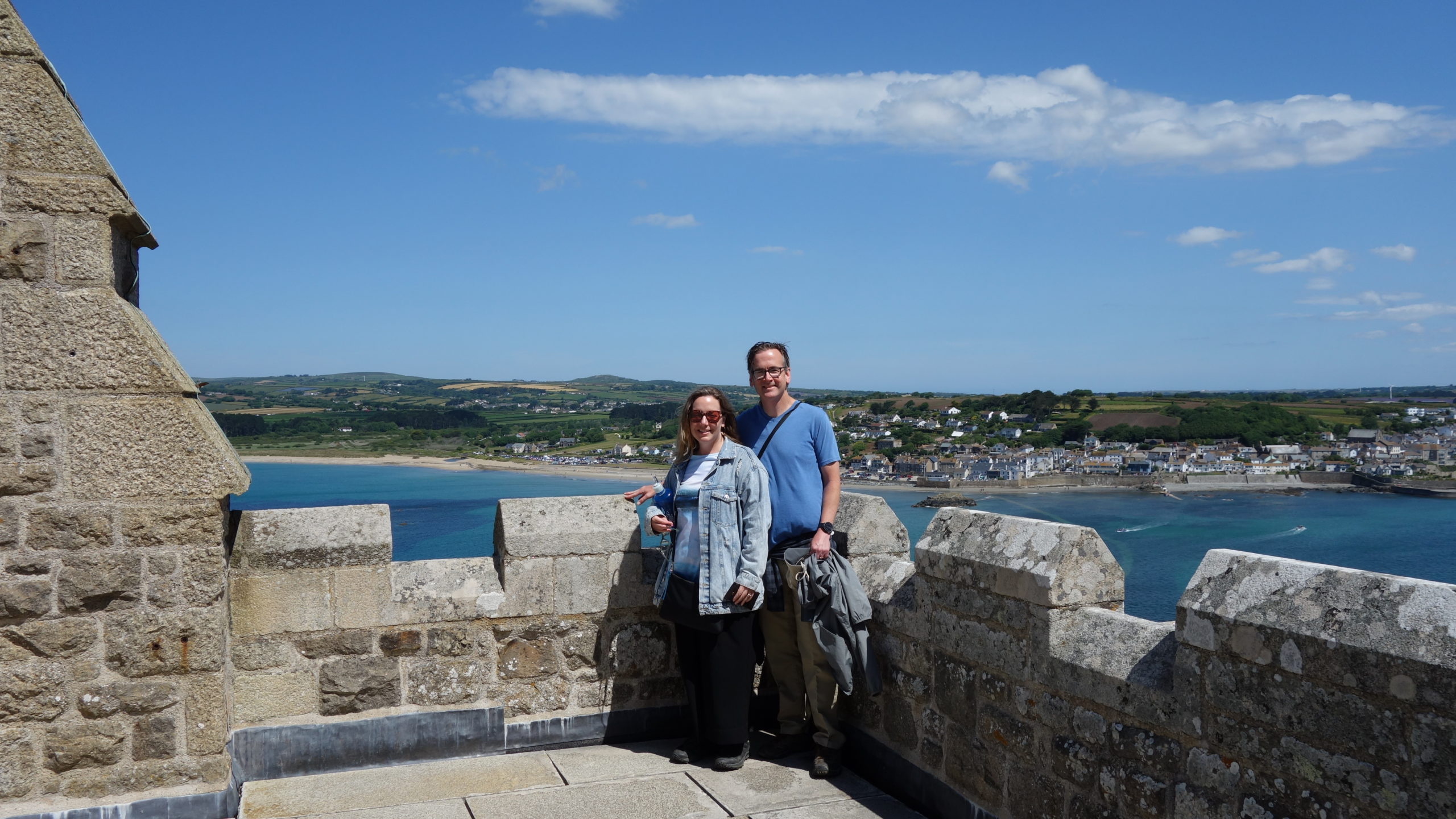
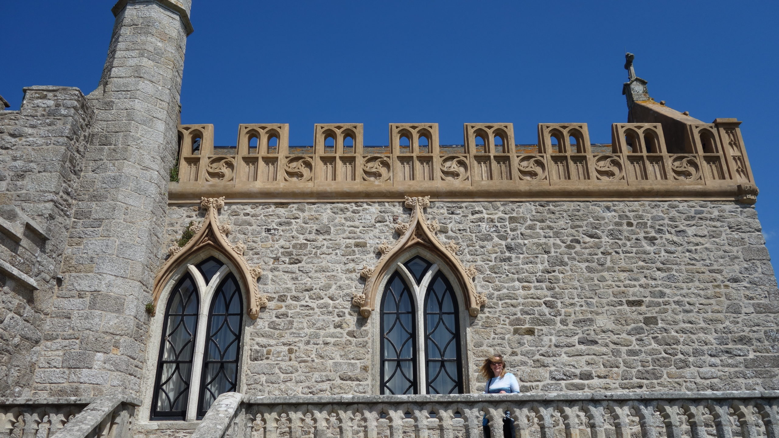
My favorite part of the castle was the south courtyard, which is actually on the roof of the dining room of the private family part of the castle. I looked in a window in the access tower, and saw two skateboards hanging there – we were told that one of the sons liked to skateboard in the courtyard. The space was open to the sea on three sides, and the views of the ocean and the gardens below were grand.
 My favorite part of the tour was unexpected. I was looking at the last room on the tour – the weapons collection. It was small, and didn’t take long to see. I glanced at a small description about a beret worn by the Lord St. Aubyn’s brother and walked a couple of steps on before doing a double-take. I went back and confirmed that it was the beret that Lt. St. Aubyn had worn as part of a parachute brigade that had fought in Arnhem, made famous by the book and movie A Bridge Too Far. It’s amazing history, but the end of it is that Lt. St. Aubyn and his men held out unsupplied and unsupported for several days while holding one end of a strategic bridge over the Rhine. When they were finally evacuated, only three officers and thirty men (out of over five hundred) made it out unscathed. It was very cool to make a personal connection like that after having spent a fair chunk of time reading the book.
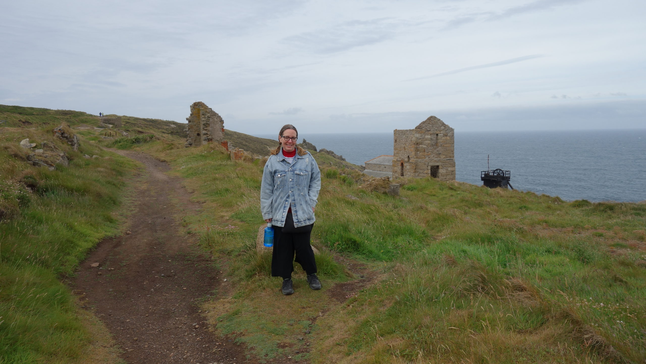
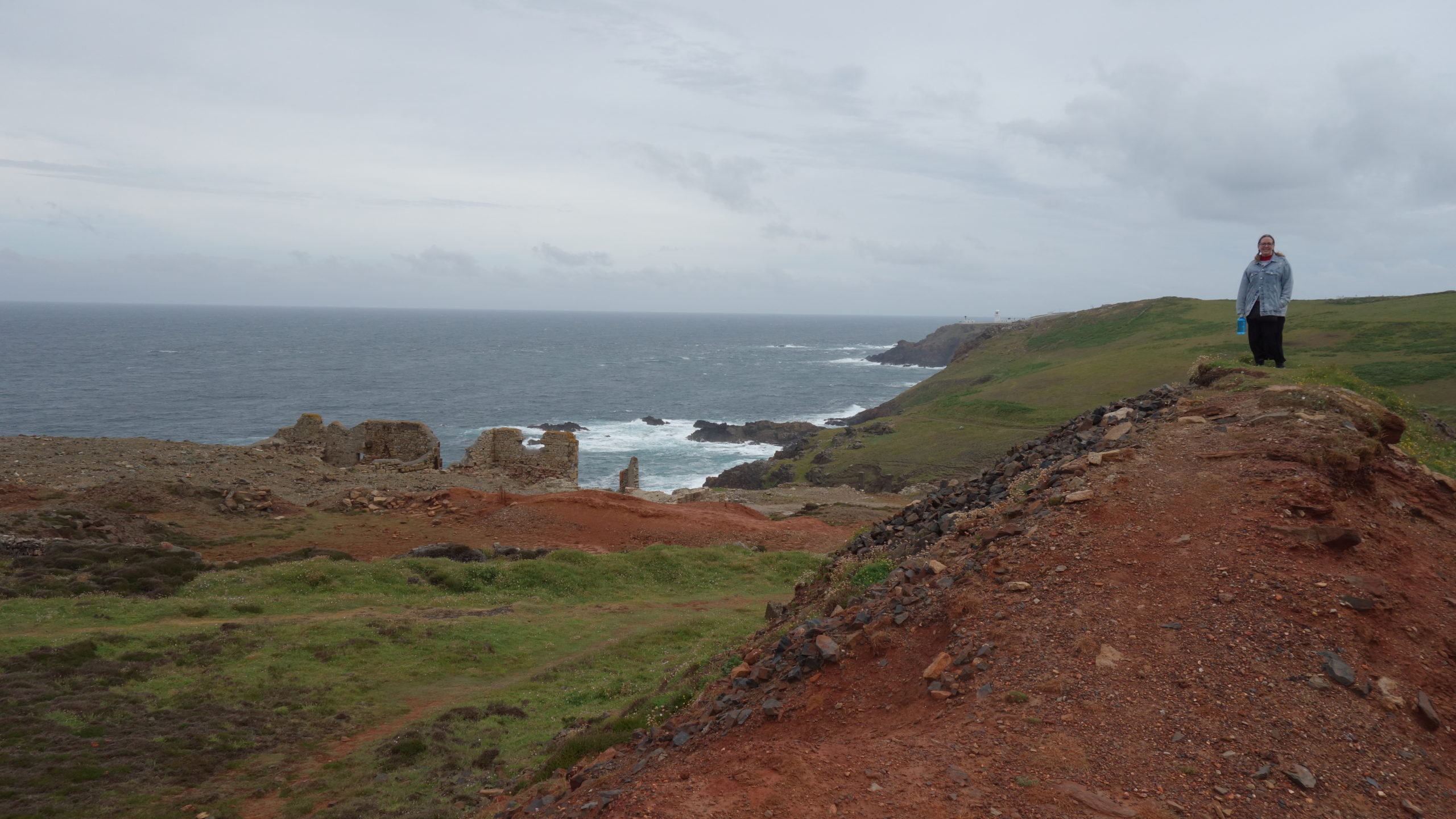
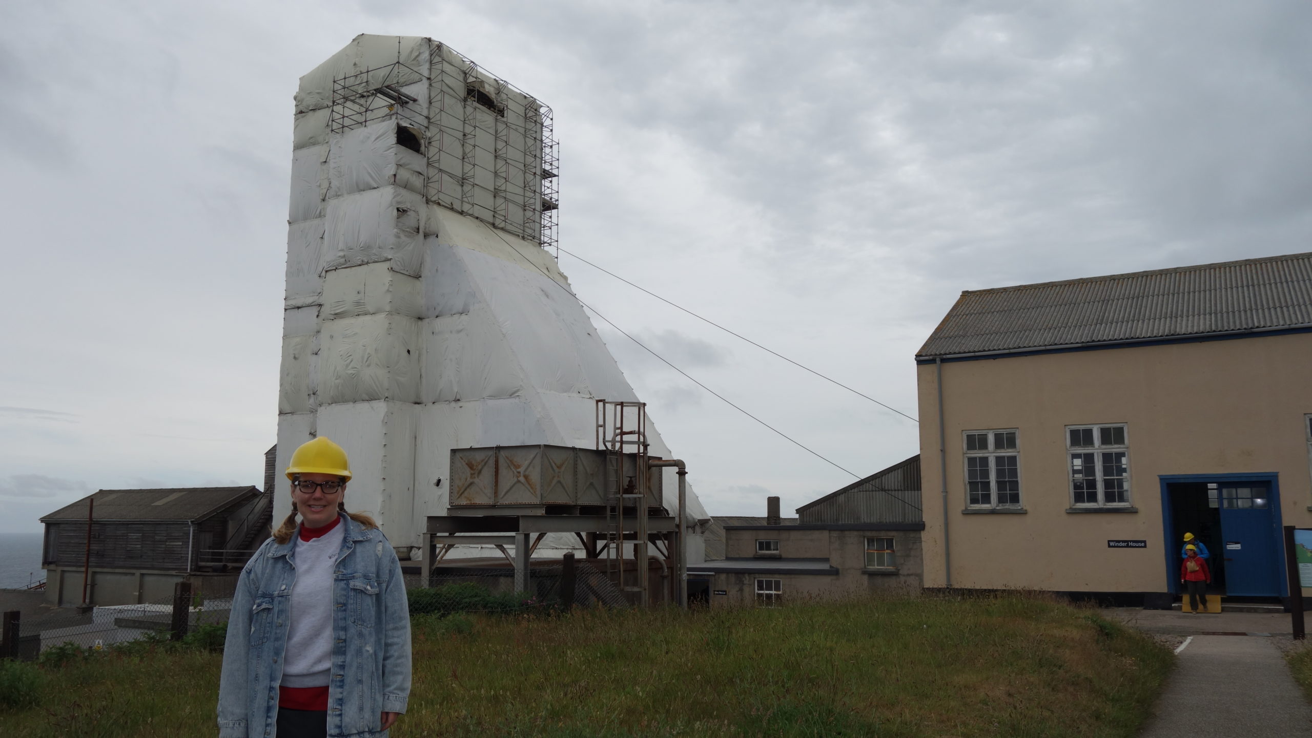
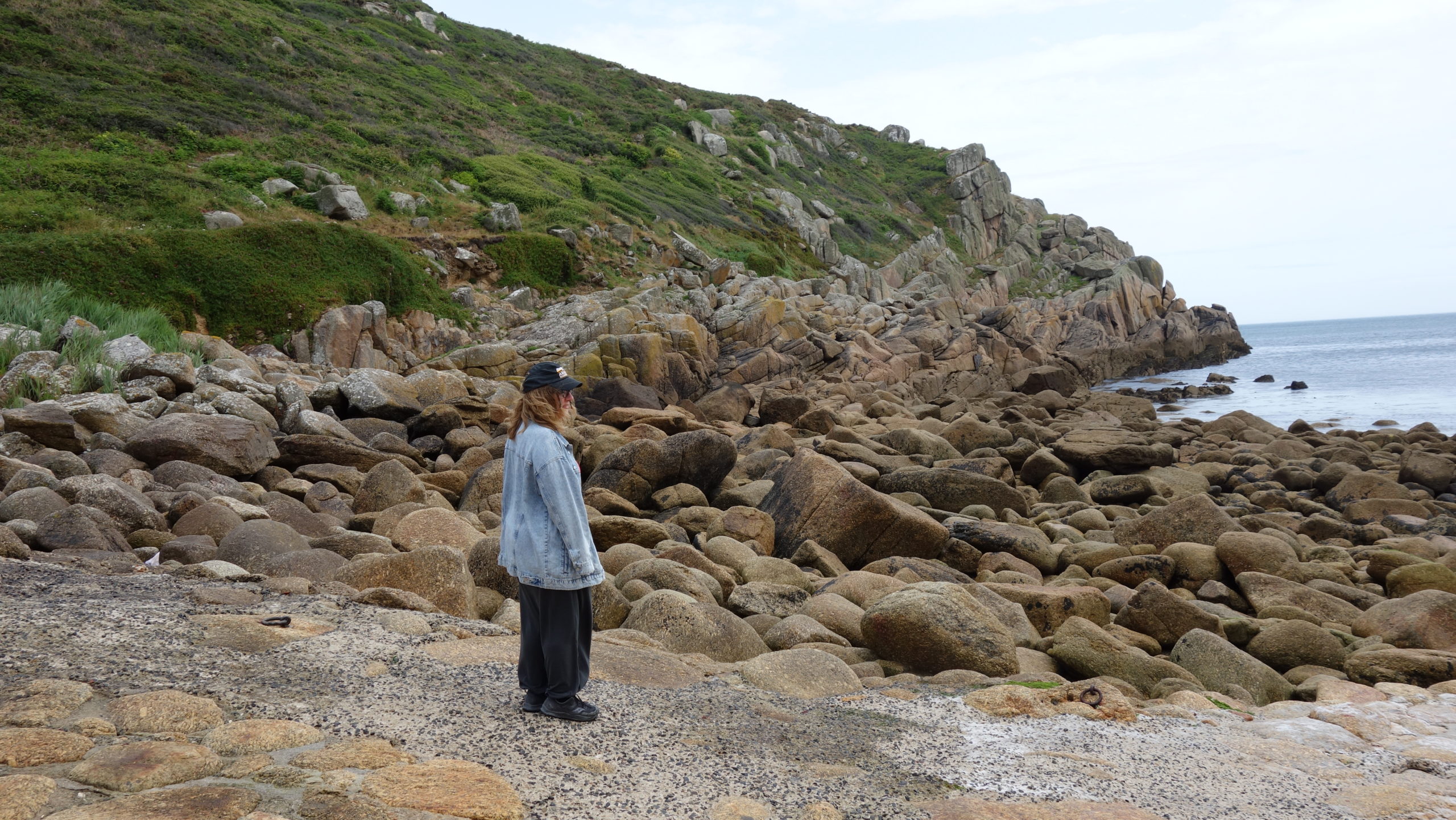
 One of my disappointments yesterday was that I didn’t get to eat a Cornish pasty at a mine (since it was a traditional mine food); the mine cafeteria didn’t serve pasties. Happily, the cafe on the island did, so we happily ate them sitting on the sea wall, looking back at the mainland. Good ambiance.
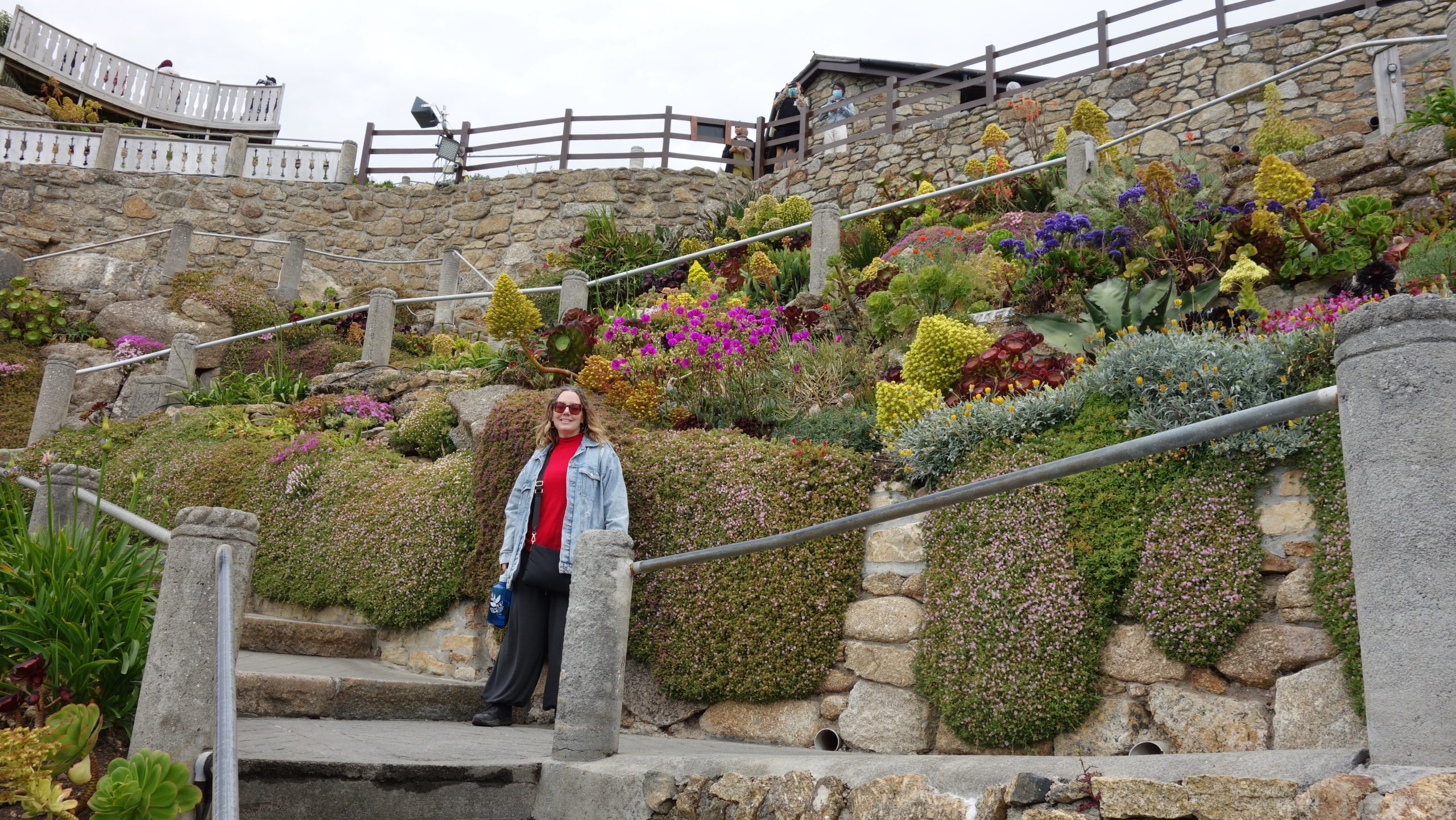
We then went on to tour the castle gardens, which are terraced since there is little flat land. They were designed to be seen from both ground level and from above from the castle, and the terraces are all different heights and have different flowers. They all have great seas views.
 Although I really wanted to walk over the causeway, it was going to be underwater for thirty more minutes, so we took the boat back across. I drove us a short distance to the nearby Tremenheere Sculpture Gardens. Mer and I both like sculpture gardens, and these spread out over twenty-two acres of sloping land, with many views of the sea and St. Michael’s Mount.
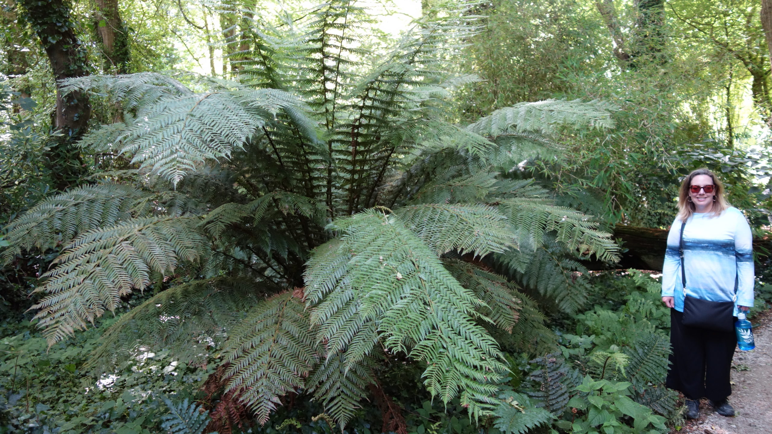
I was astonished at the growth of the gardens. Cornwall has a mild climate because of the Gulf Stream, and the gardens were in a protected valley as well. So there were many subtropical and even some tropical plants. There were palm trees everywhere, some growing next to cacti. We saw some plants with individual leaves six feet across. There were ferns taller than our heads. It felt like being in Jurassic Park. Not bad for a place that is five latitudinal degrees north of Maine.
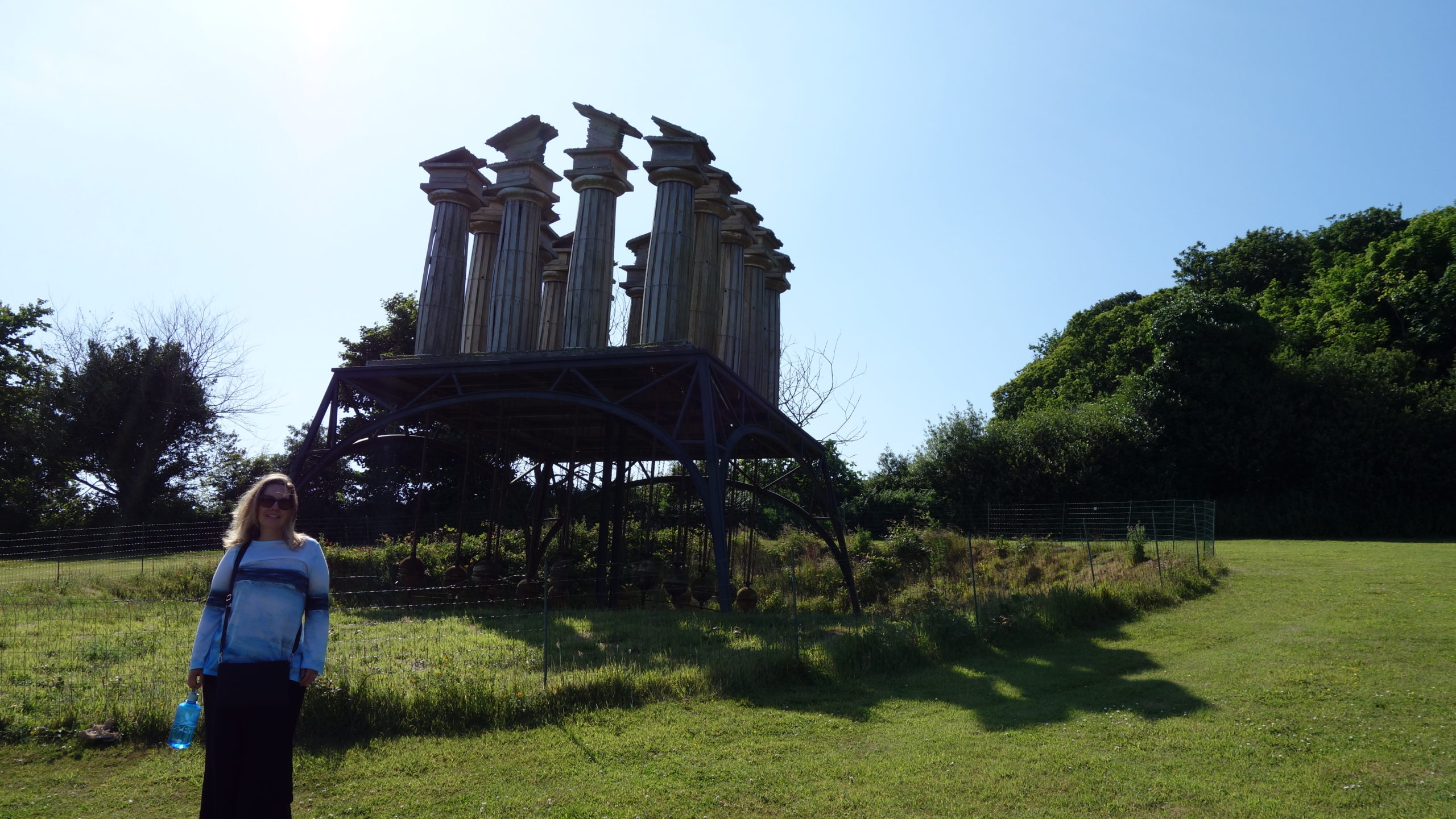
The sculpture was a mixed bag for me. Some of it didn’t really pass the Matt test (by looking like art that I could have made), and some of it I simply didn’t find pleasing. But about half the pieces were interesting, and I really loved one that seemed to be a ruined Greek temple, but the pieces of the temple swayed in the wind. It was funky and very cool.
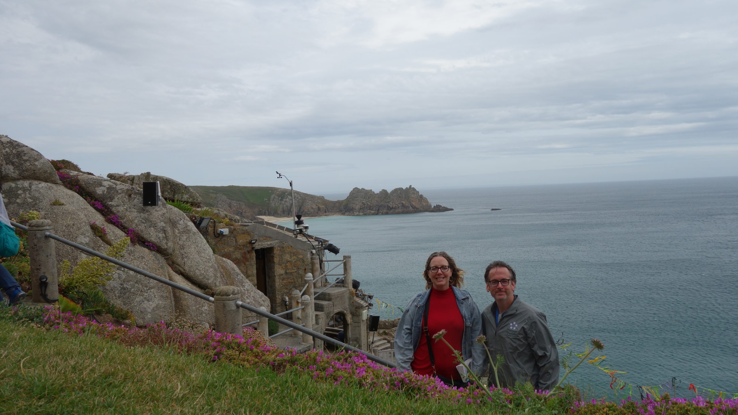
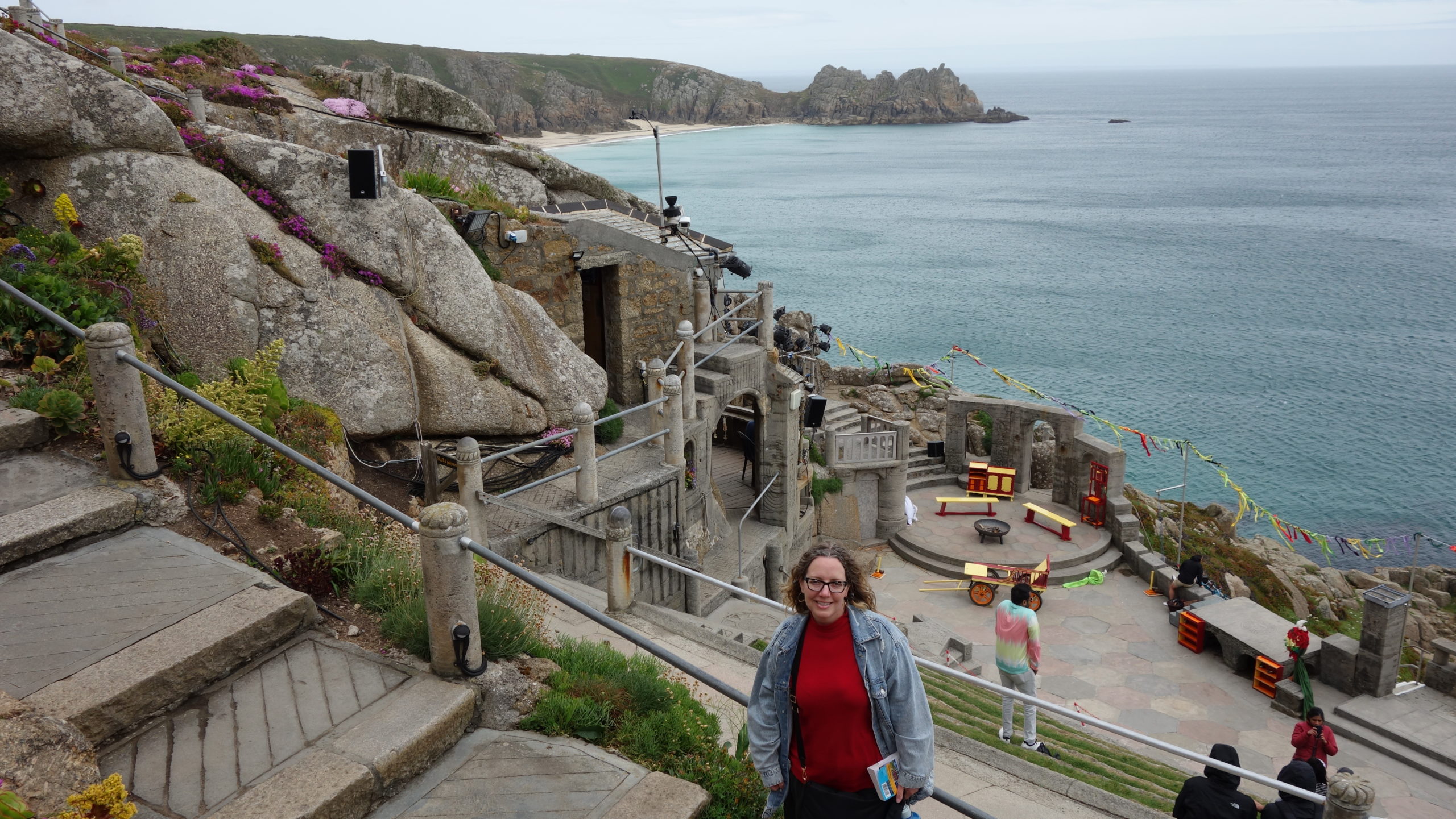
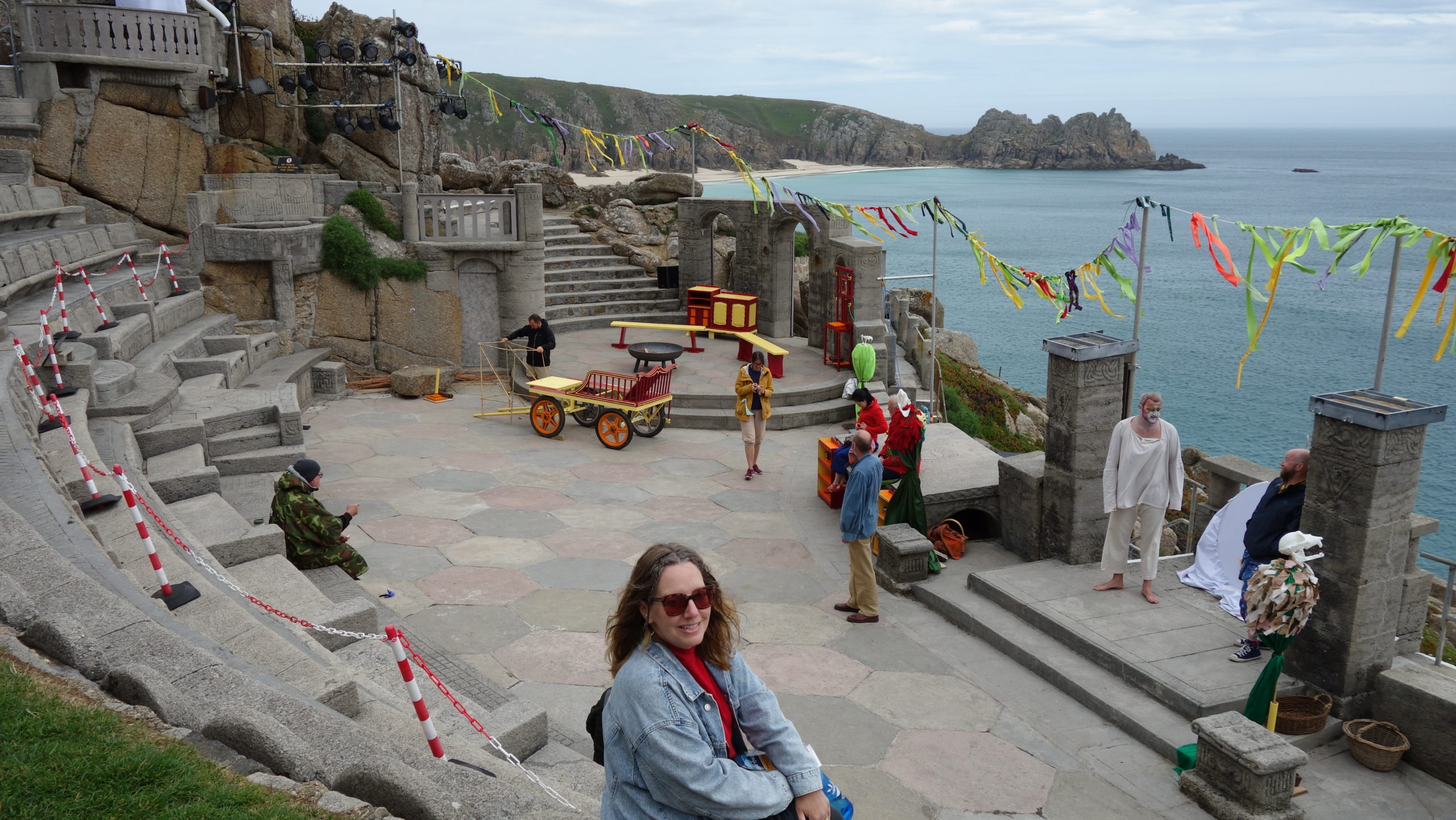
 From the gardens, we went home for a short while before heading back to the Minack Theatre, which is the theater built on a cliffside. We found our seats and then realized we had to go three quarters of the way back to the top to use the bathroom and buy some pasties for supper. Mer said she had never worked so hard to get to a bathroom in a theater before.
We got to see a one-man show of The Odyssey. The main actor played six or eight major roles, and added several more minor ones as well. It was fun to see him use a simple sash to create quick costume changes, or to hear him alter his voice for different characters. The play followed the major stories of the source fairly well, until the end, when it broke and made Odysseus become a shepherd while Penelope ruled as queen. There had been some seeds planted early in the play for that to happen, so it wasn’t totally out of the blue. It was a good time in a truly amazing place.
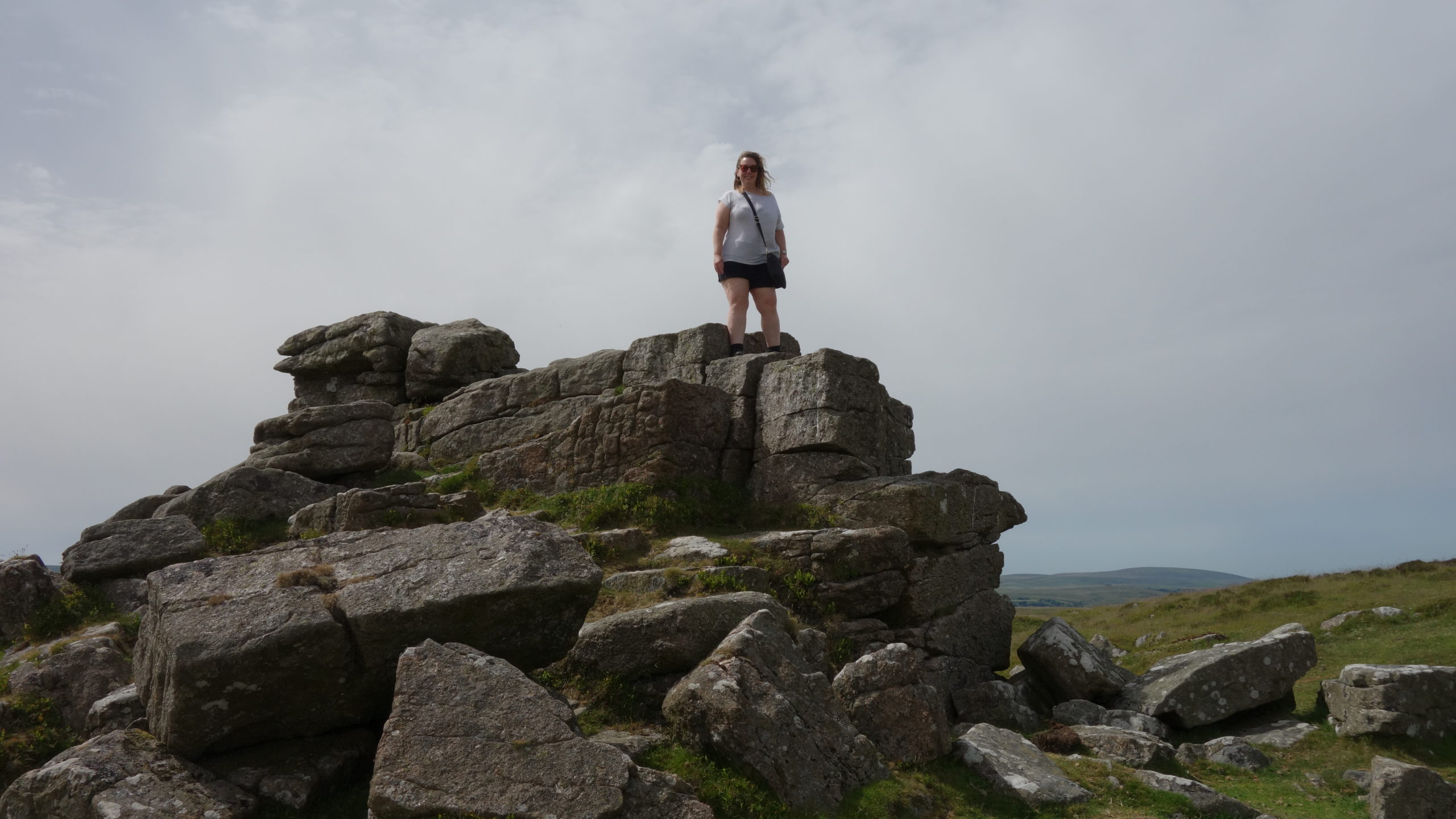
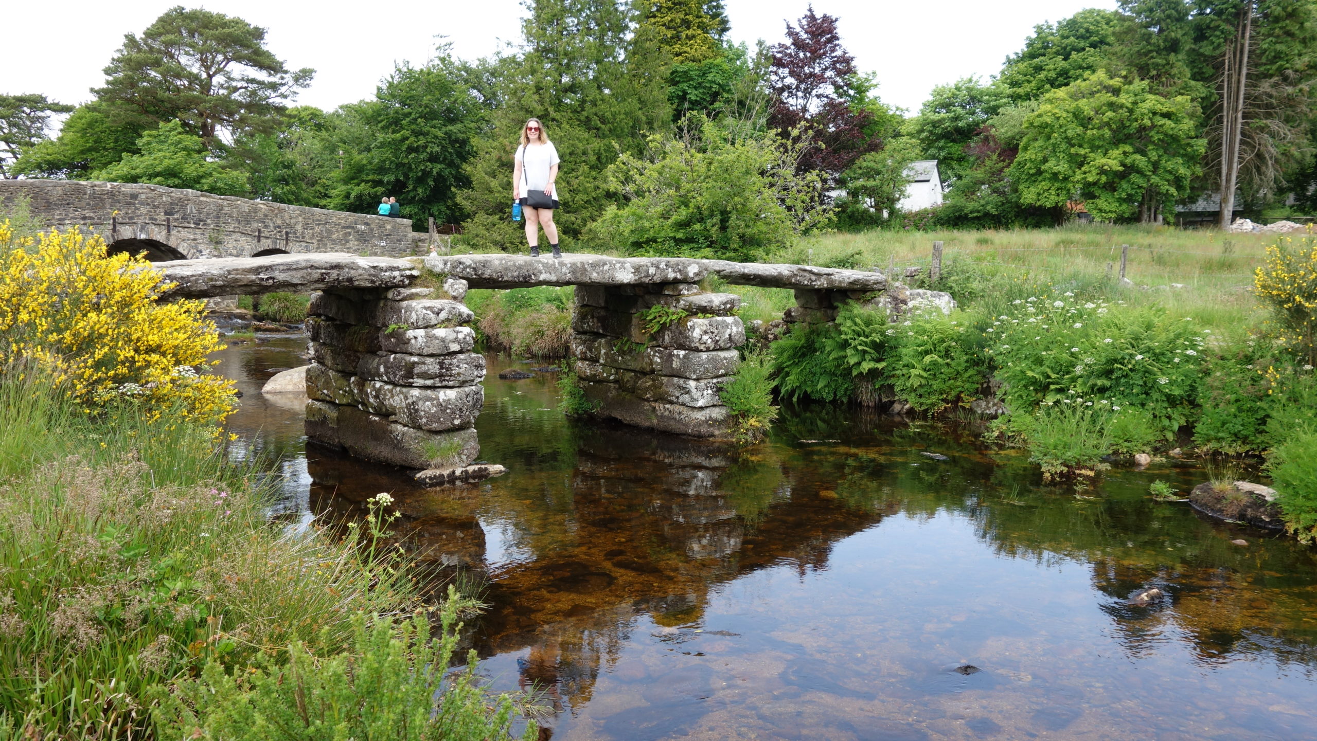
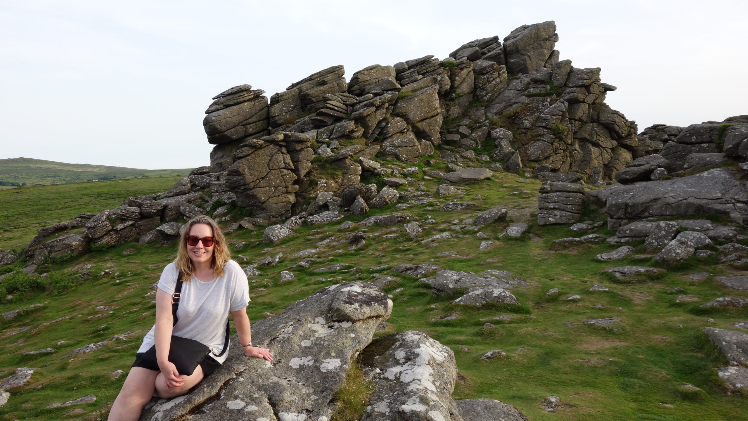
 So we wrap up our time in Cornwall. I could have easily spent another day or two here; I had to skip several things on my “to see” list I prepared before coming. The driving can be very difficult, but the payoffs were always worth it. Thumbs up to Cornwall.