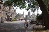
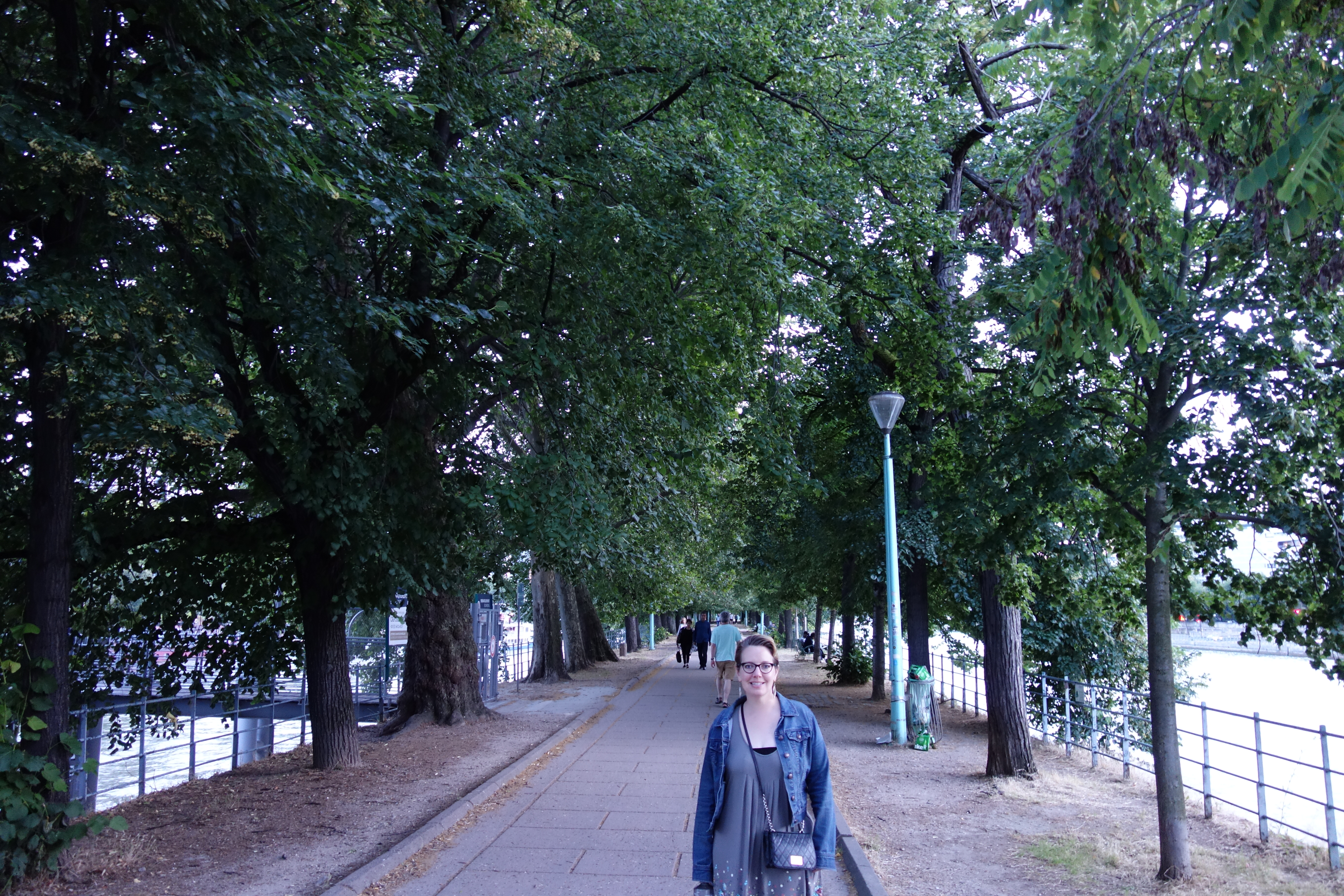
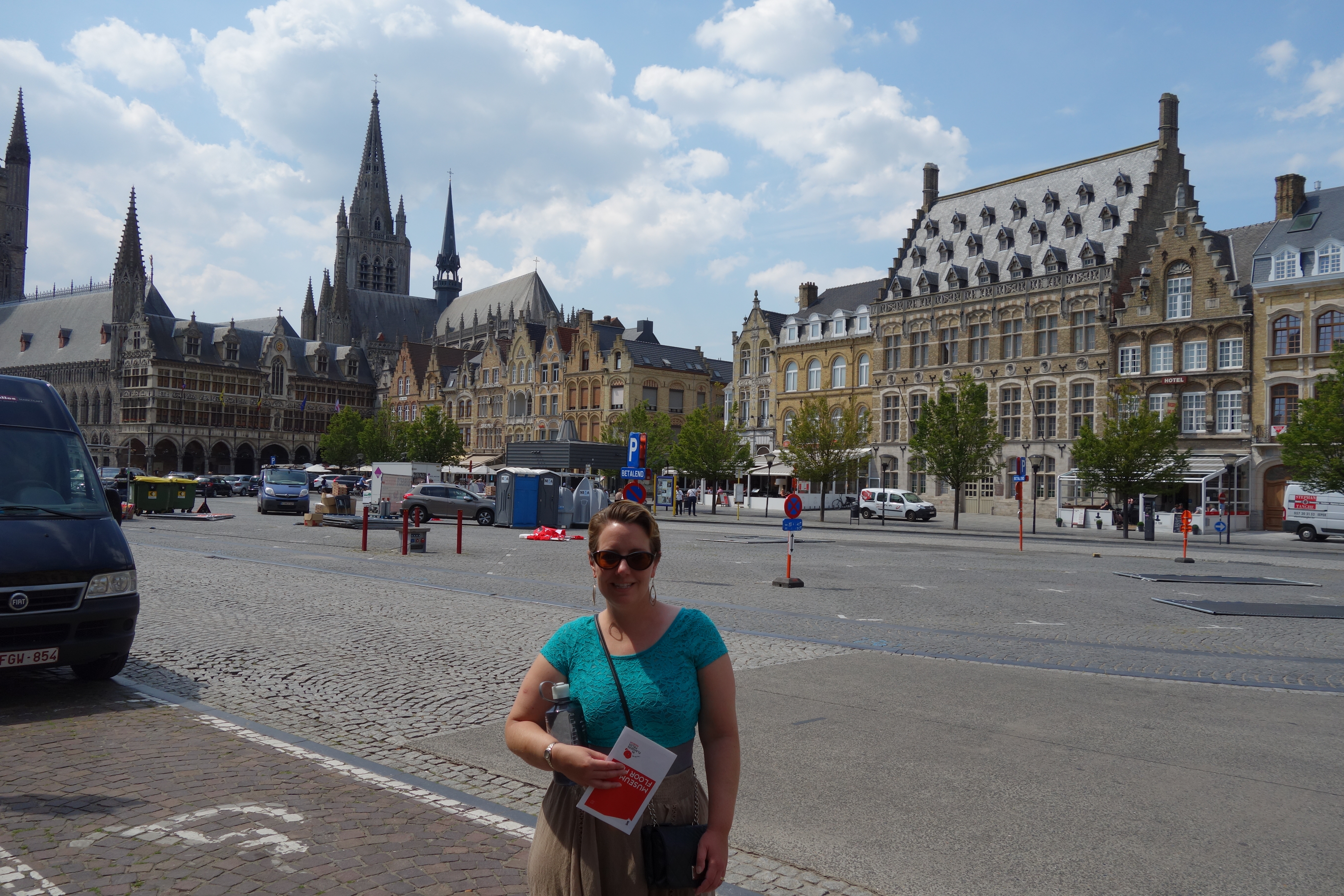
 Not all who wander are lost, but sometimes they really are. You may think you are walking toward the main town square, but no towers appear, and more and more cars are going in your direction, and then there is an actual directional sign for cars, something you never noticed in the pedestrian-intensive city center. Mer had said you could not navigate by towers in a city (because the houses get in the way). But, if you turn around and look, far away on the horizon, looking especially small, would be those towers you can’t navigate by. You would then sigh, and trudge back along the same road you had been walking along for the last fifteen minutes while your helpmate chuckles for a ways.
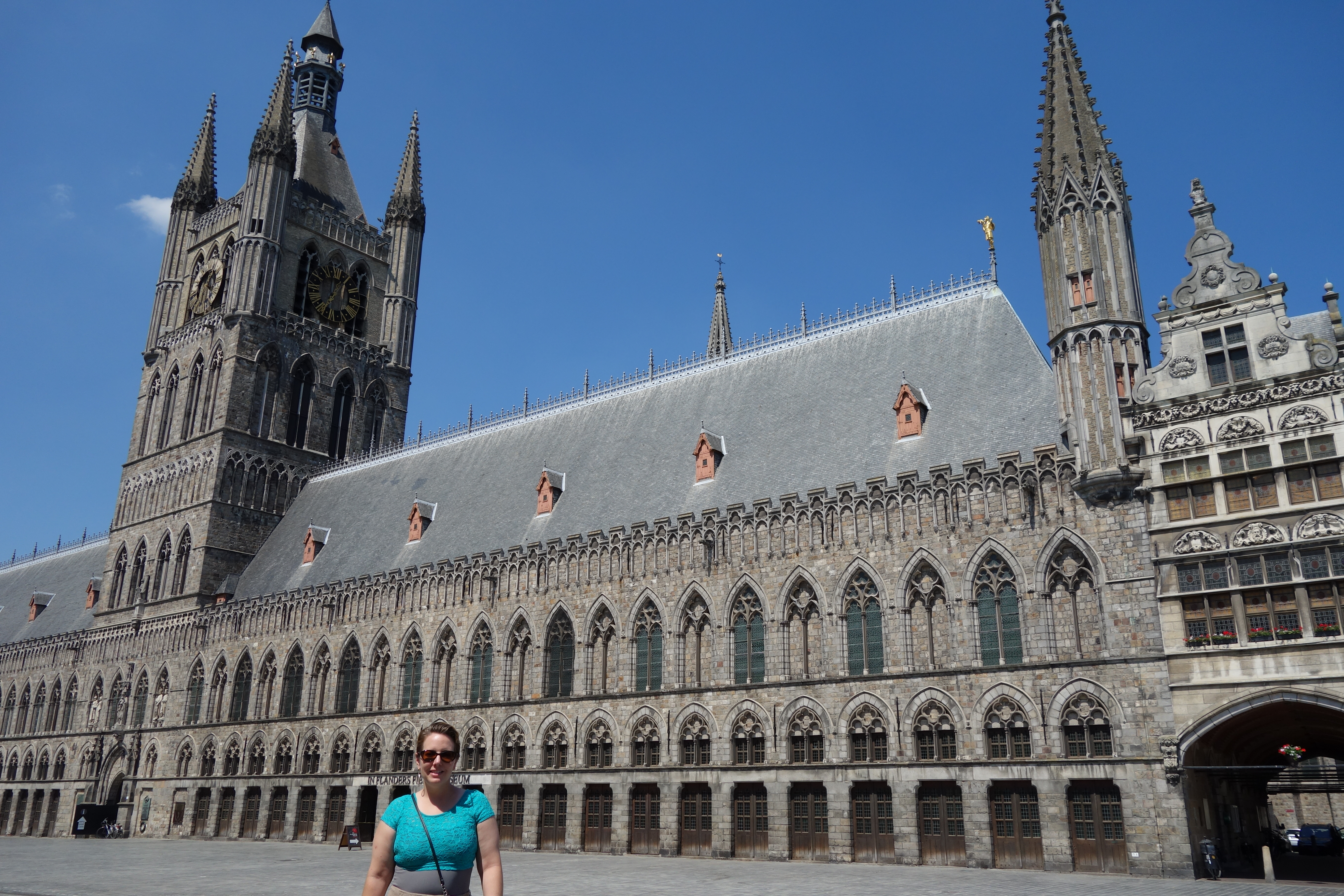
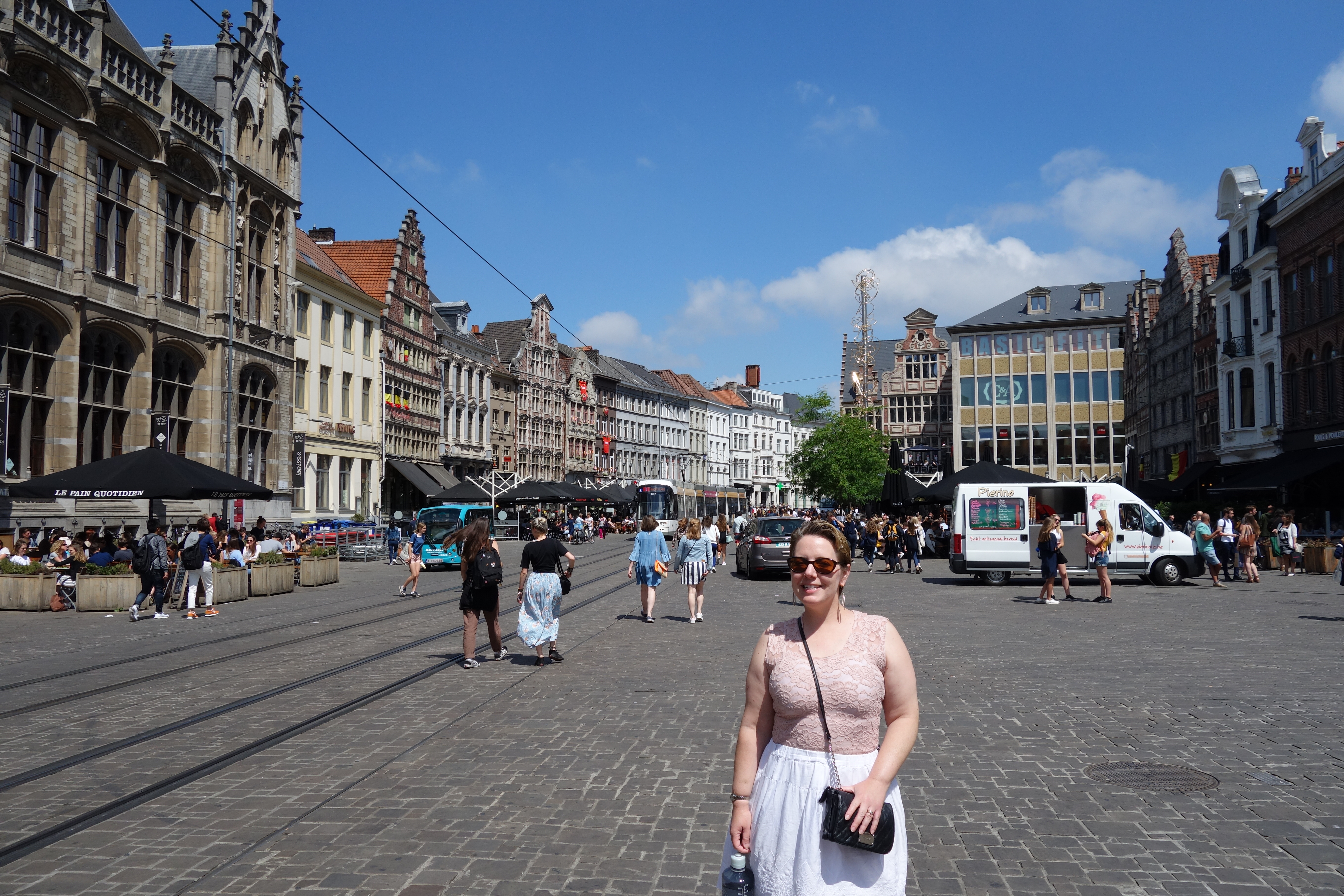
Today was my first day to “be in charge”; Mer had decided what we were doing for the first week, and I got the second week. I decided to stay in Bruges and to try to see some things we had not done yet.
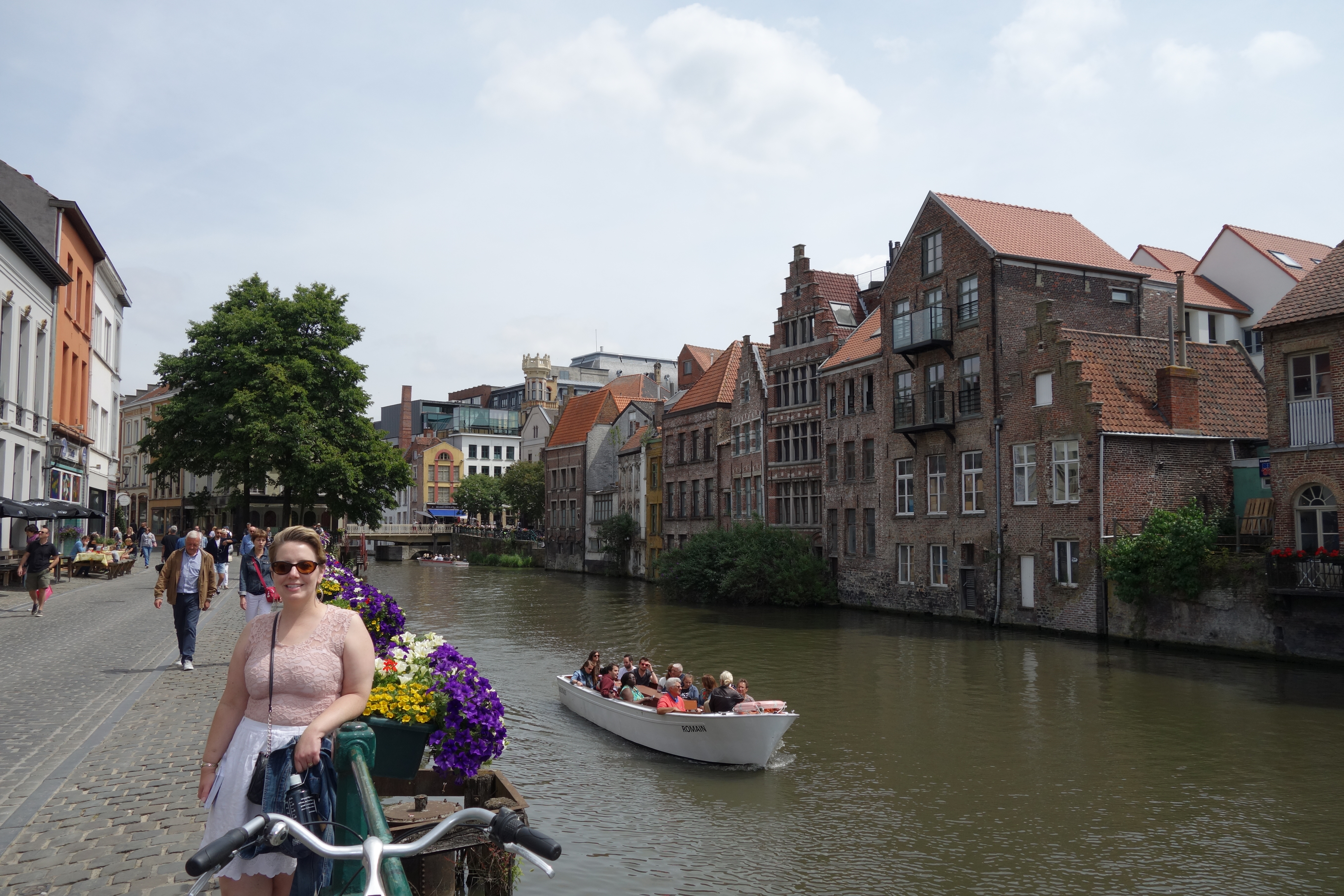
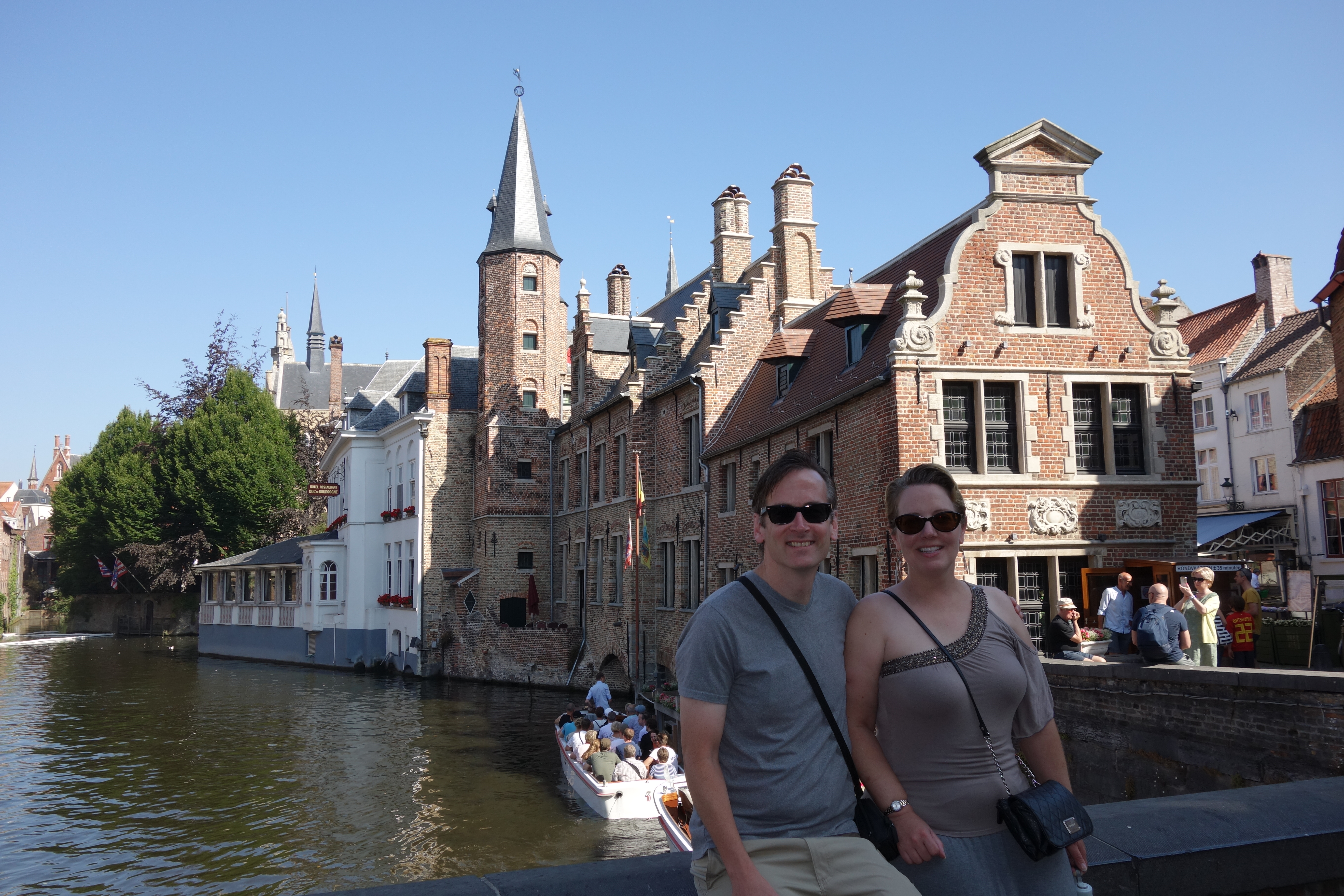
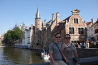
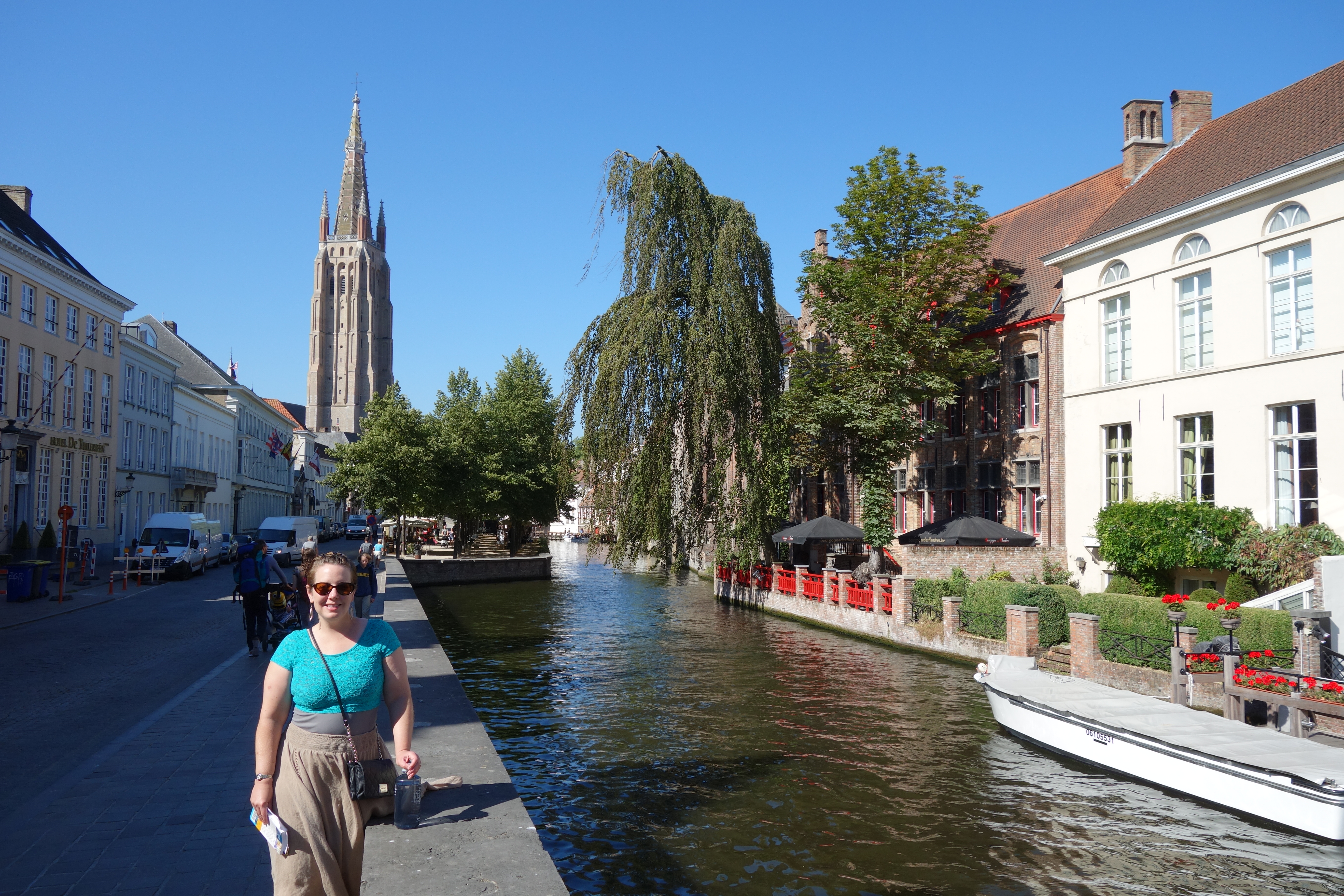
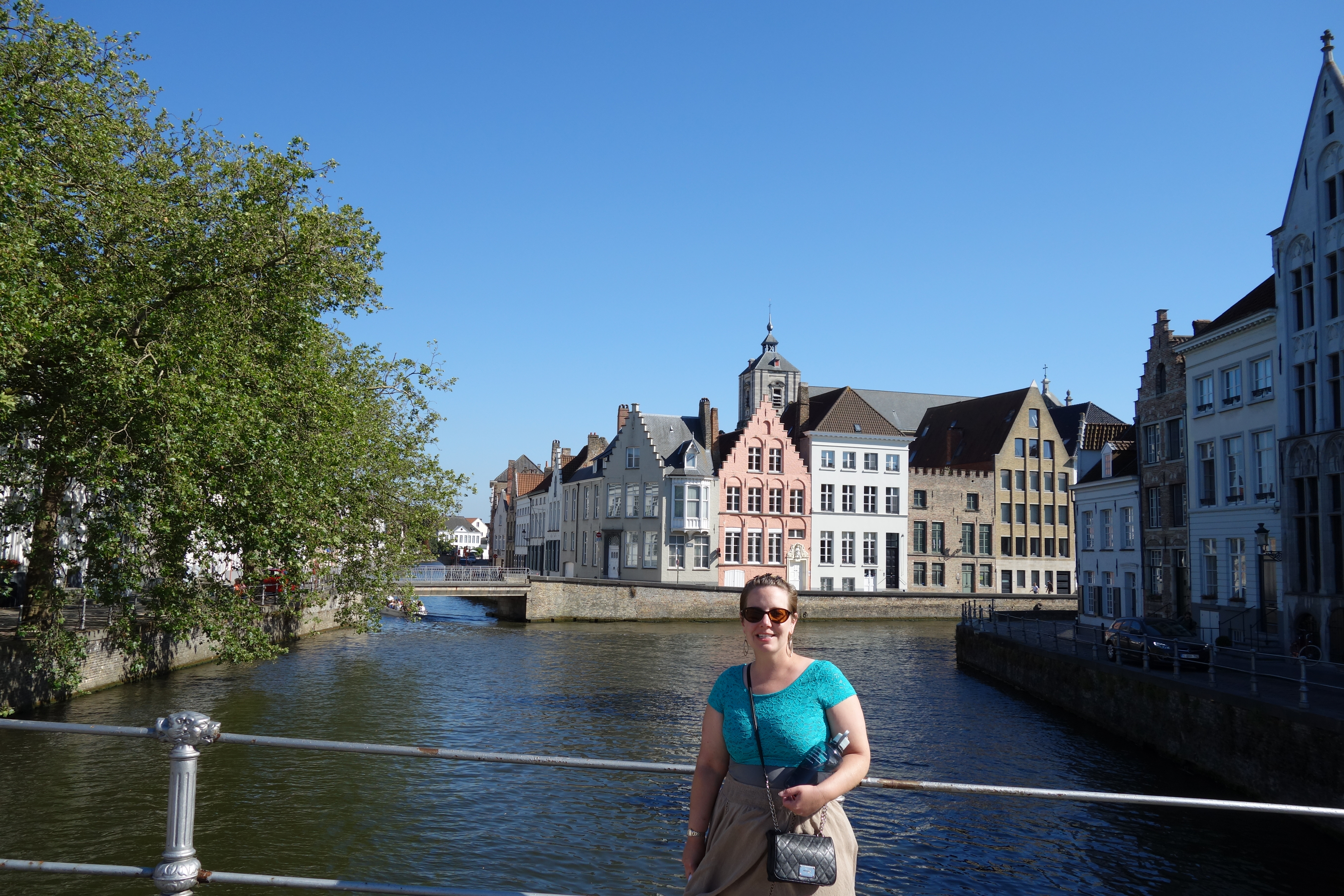
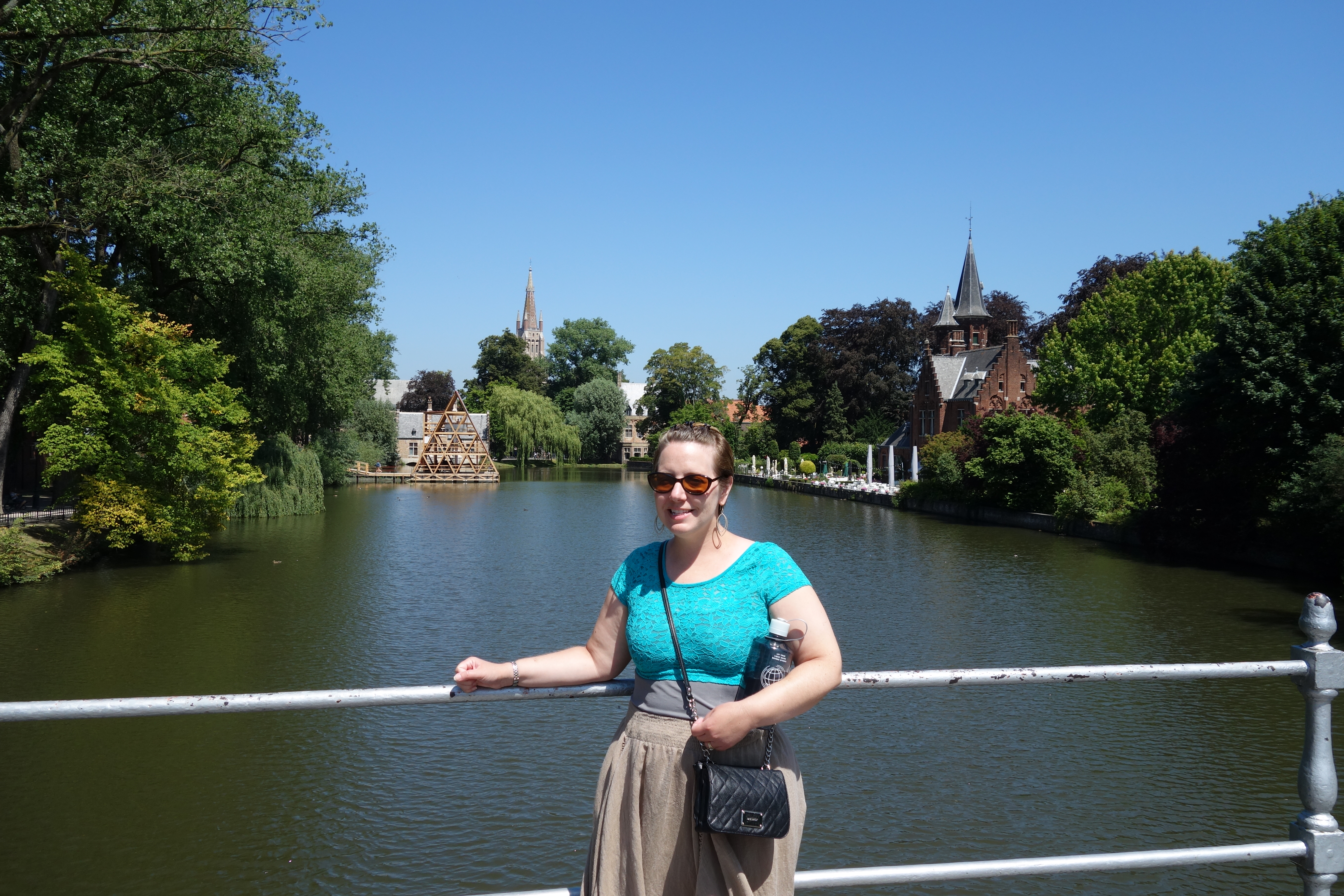
 We started the day off taking a short boat tour of some of the canals. I liked our captain – he was warm, but for the most part, the tour is less about the captain’s commentary than about seeing Bruges from another angle. I did learn that the oldest bridge in the city (still in use) is from the 1200’s.
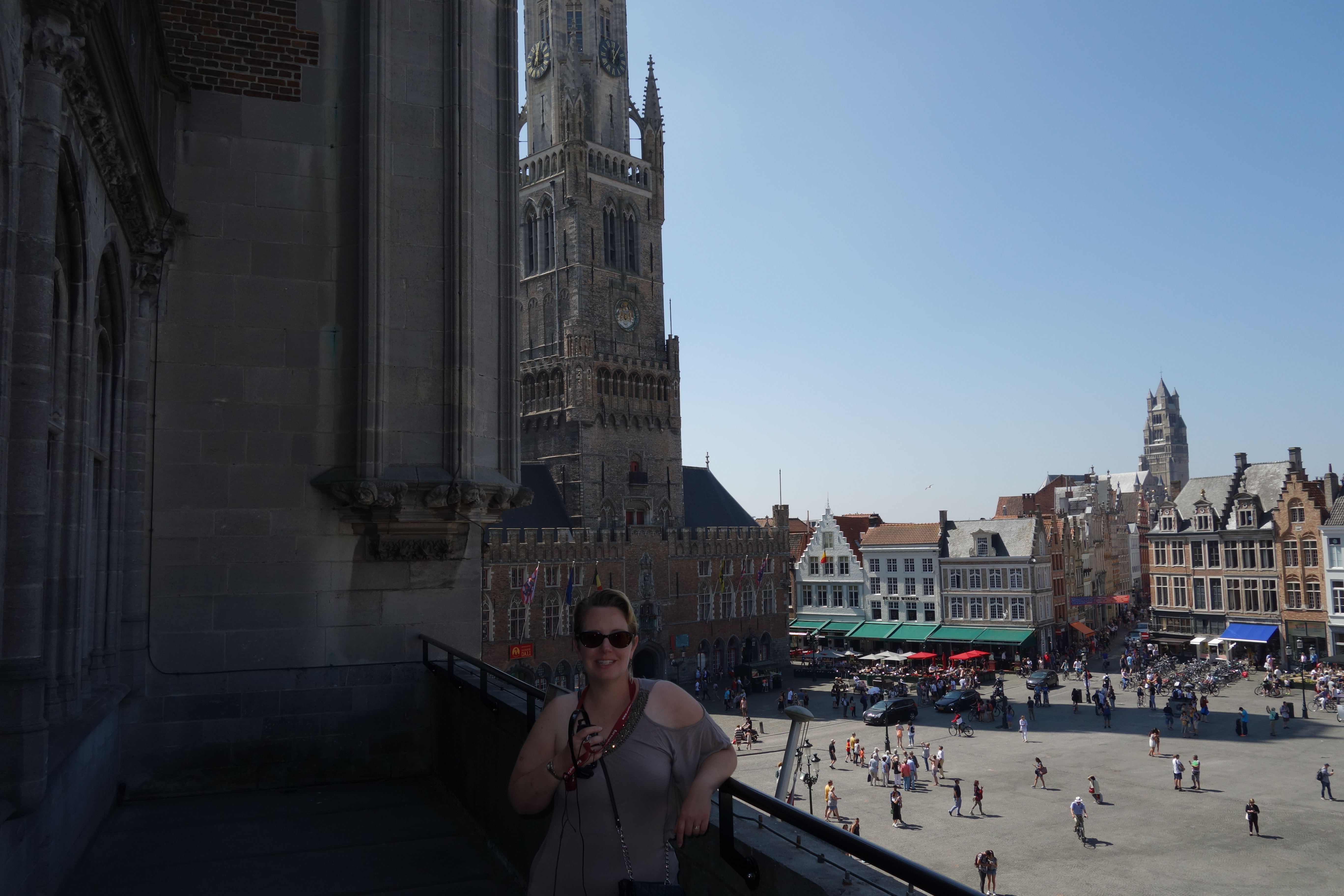
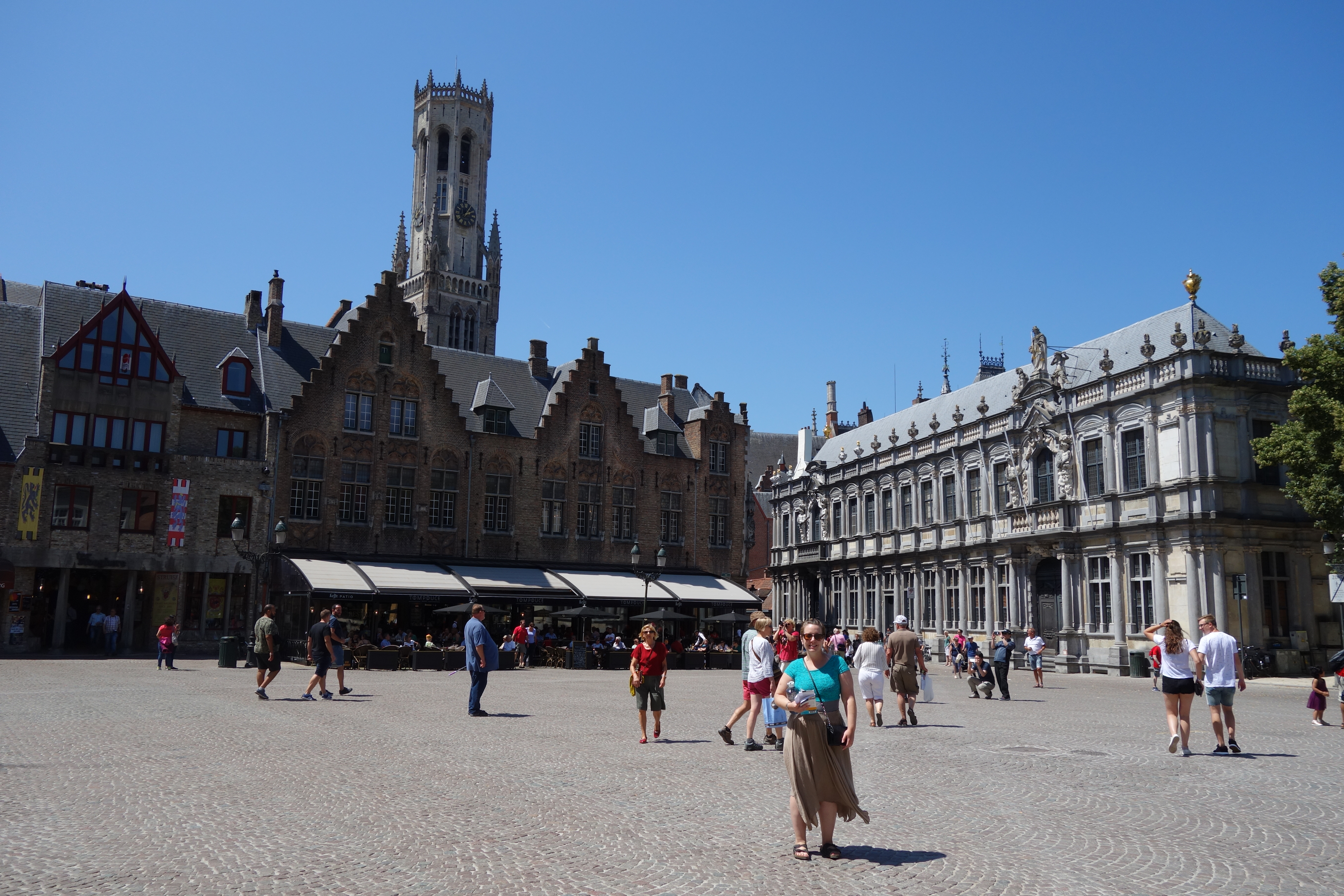
We then walked to the main square to the Historium. The Historium is a cross between a Disney display and a history museum. There is a film that you follow through seven different rooms that recreate Bruges on a day in 1435. It uses the film, which uses computers to create the town in the background, and real actors to tell the story of an errand boy of seventeen running around the town trying to find an escaped bird and a painting model. Some of the rooms pipe in smells and use lighting to recreate lightning. They even have it snow in one room. Mer and I had our tour all to ourselves, which was great. We really liked it. The ticket also included access to the view-terrace over the town square, and some short history write-ups on the development of Bruges. We ended the tour with an eight-minute-long VR film showing us on a boat taking cargo into Bruges. I may have knocked my body into my booth wall once when the narrator told me to look left. I did not see a wall there….
 After lunch, we went to the “Battle for the North Sea” exhibit next to the Historium. I thought it was going to be about the sea battles of WW II, but it was about the German Bruges-based U-boat fleet, which I had not even known existed. It presented the German side of things on one side of the hall, and the British response down the other side. In the middle was an astonishingly small outline of an actual U-boat model 1. It was maybe only twelve feet wide at the widest.
The German program was fairly successful, in that the English never found a good answer for the U-boat problem. The 90-some U-boats launched from Bruges sank over 2,500 ships, but only 2 out of 5 U-boat sailors survived the war.
The British tried a late-war assault on the canal where the submarines came from, and they were able to deliberately sink three ships in or near the canal, but the subs were still able to get out at high tide. Of the eight hundred men who were in the attack for the British, about six hundred were wounded or killed. The navy still somehow published that the attack was a complete success. It did manage to boost British morale.
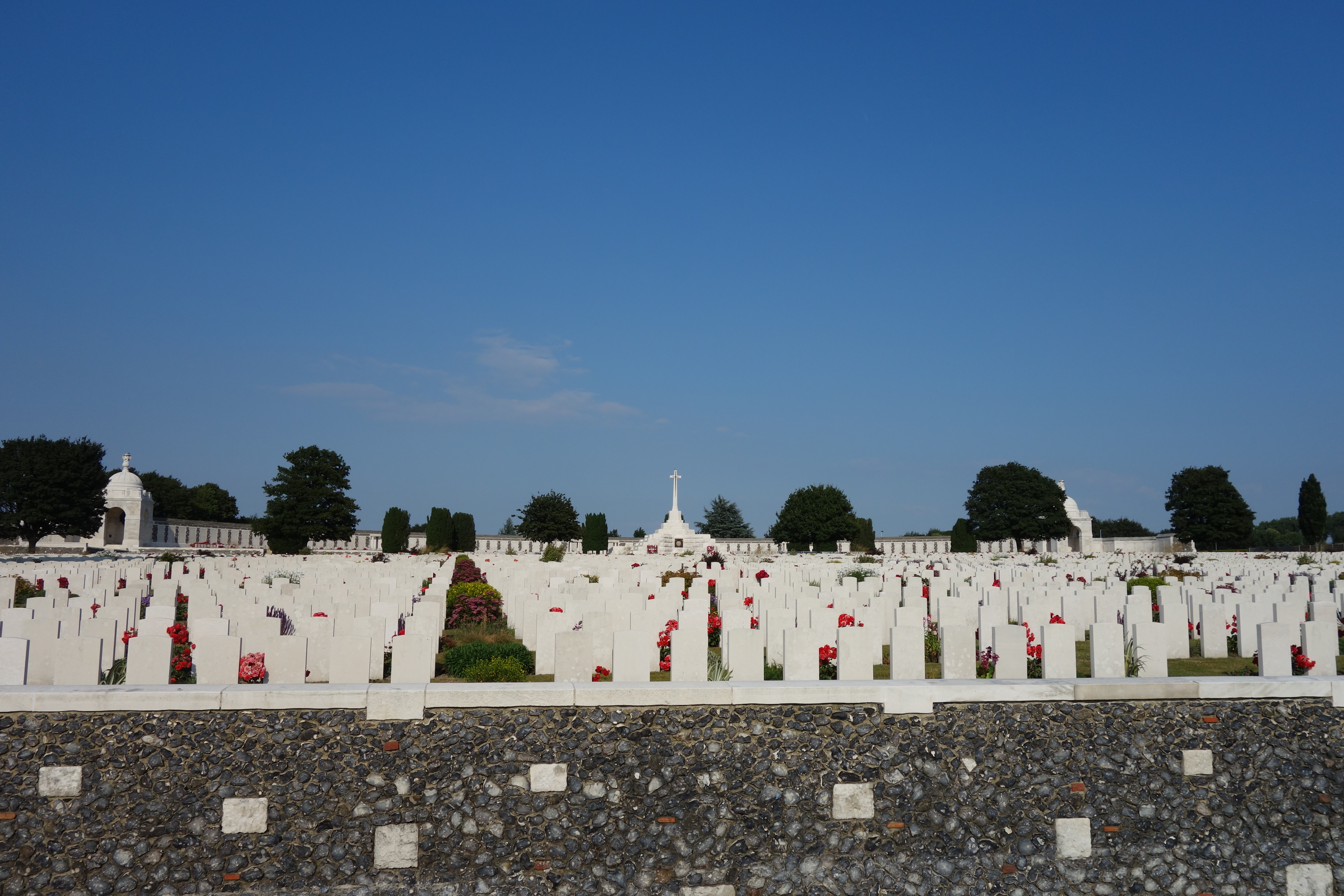
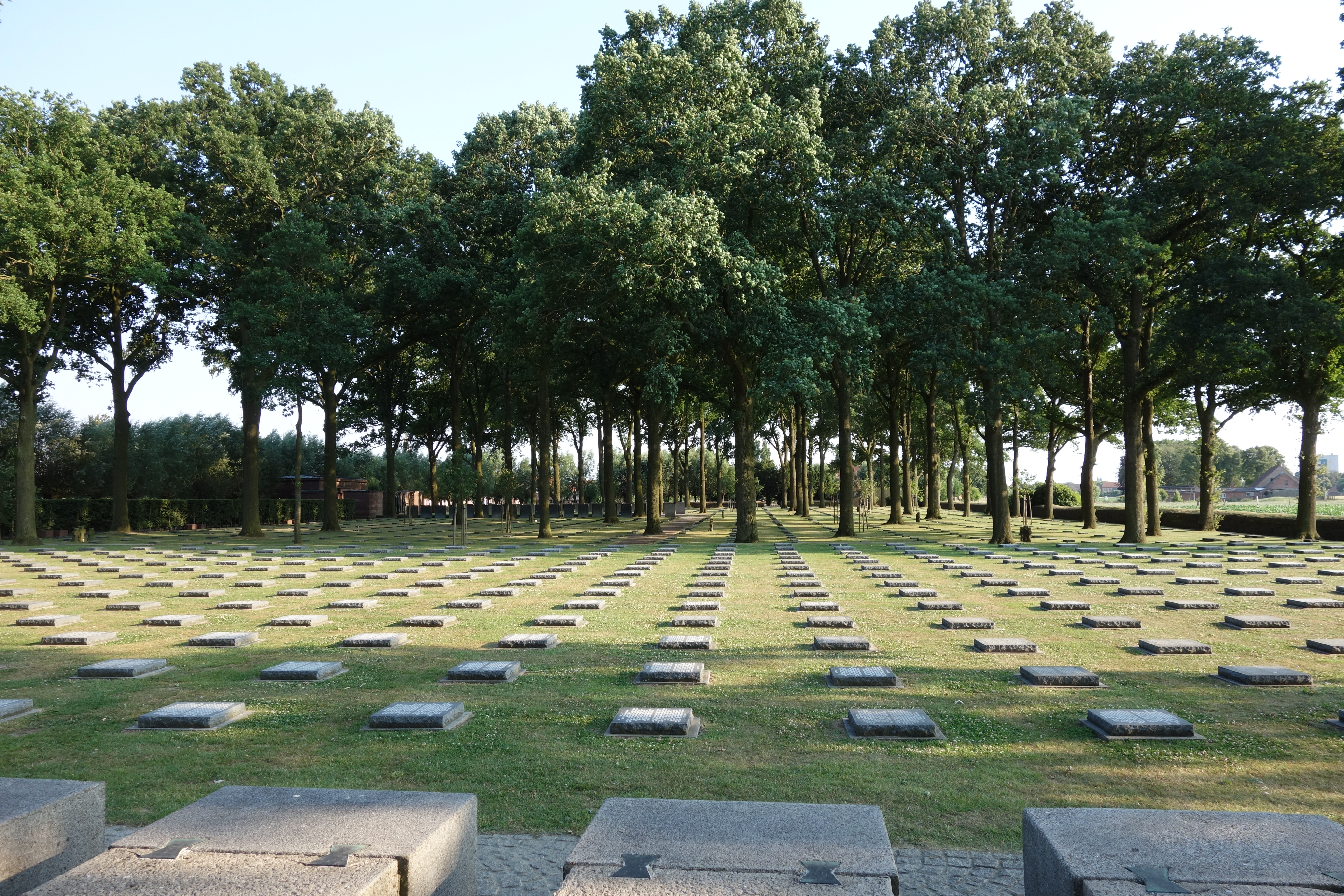
There was a display of the eleven Victoria Cross medals (the highest British military honor) handed out after the battle, with a short write-up of each recipient. Many of the men had died in the attack, and at least two more would die within two years from diseases (after the war). It was a very costly battle for the English.

The exhibit was excellent, and was small enough to be seen entirely in a little over an hour. I had no idea that there was a widespread submarine program in WW I, so the information in the exhibit was all new to me.
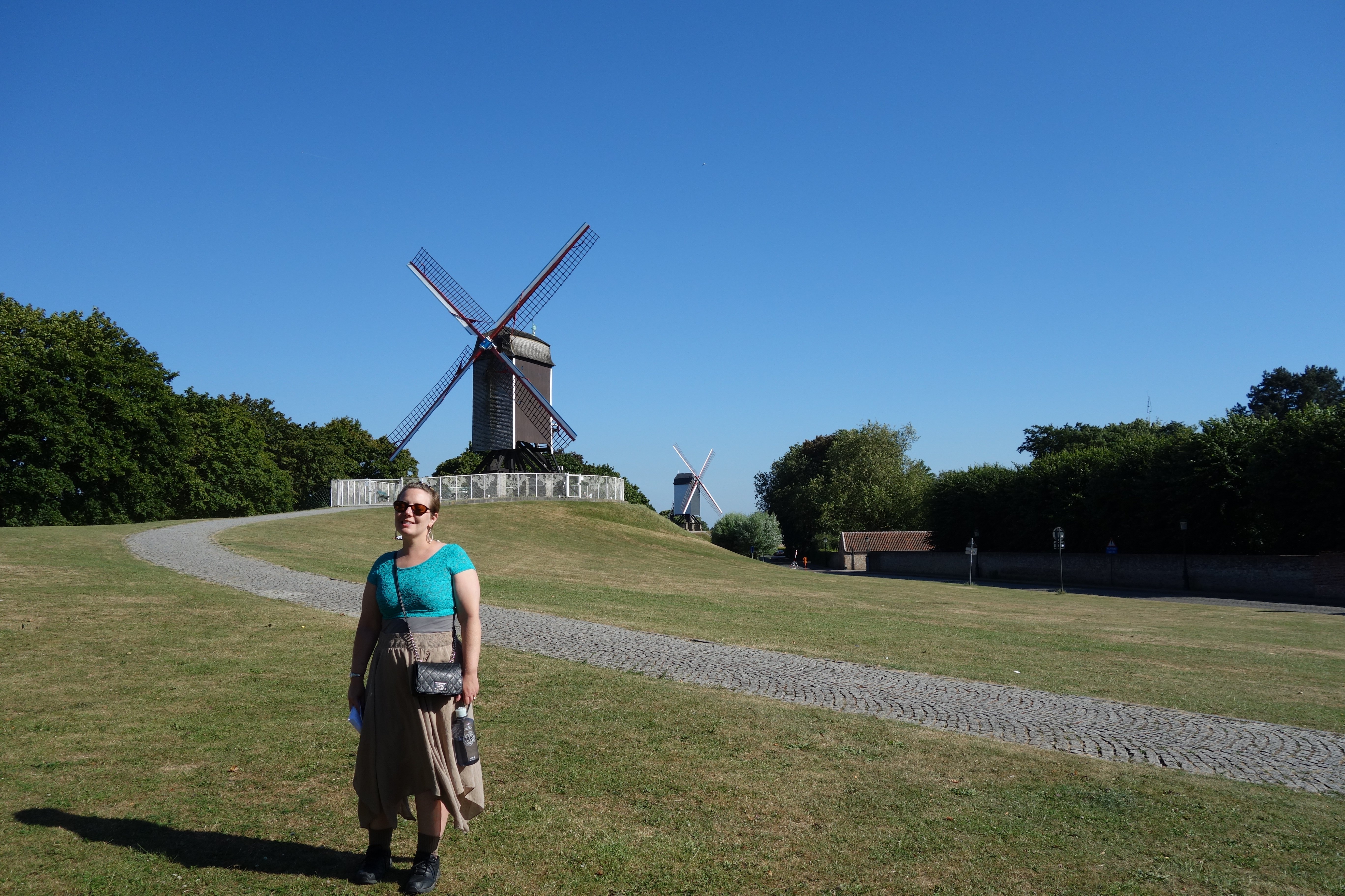
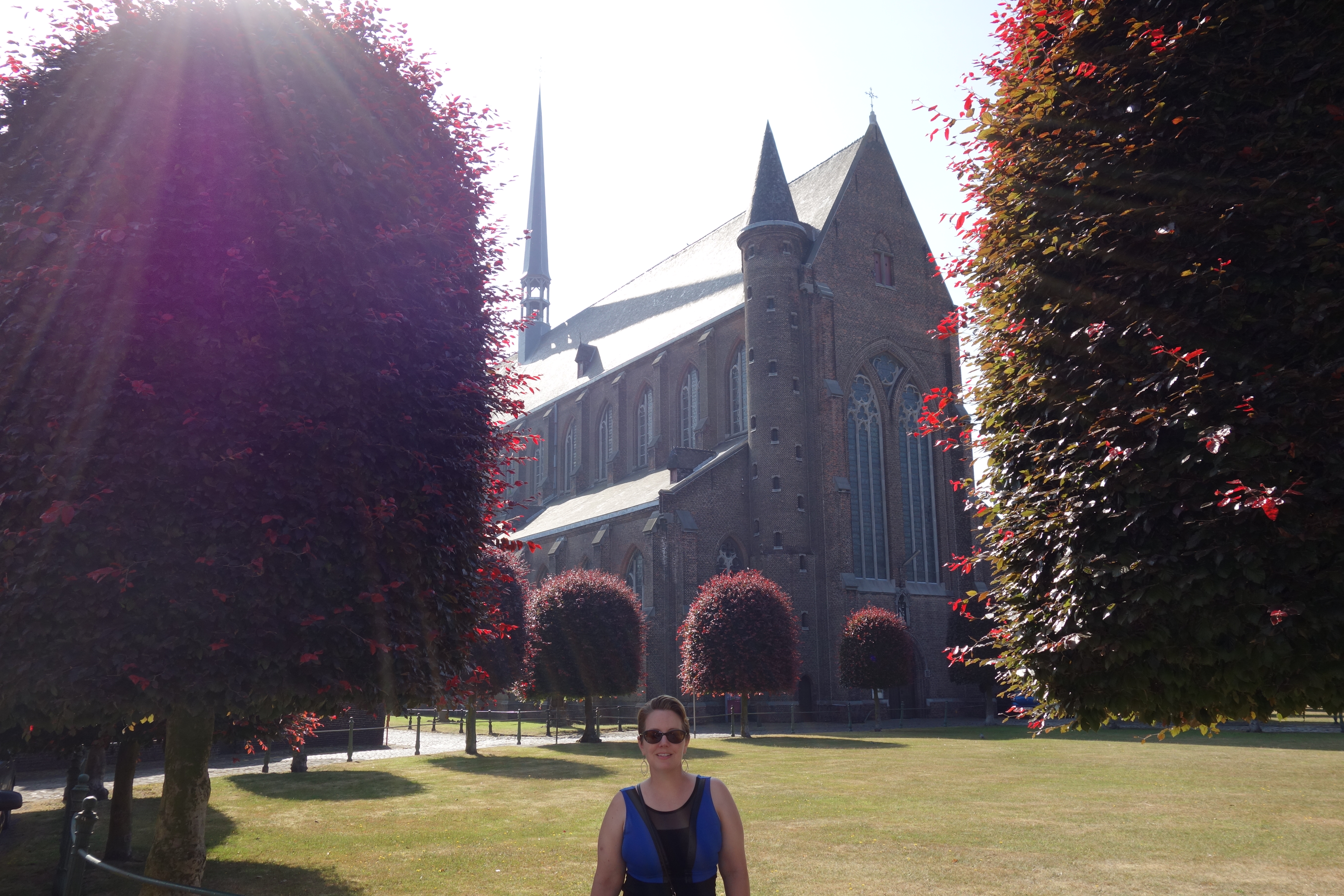
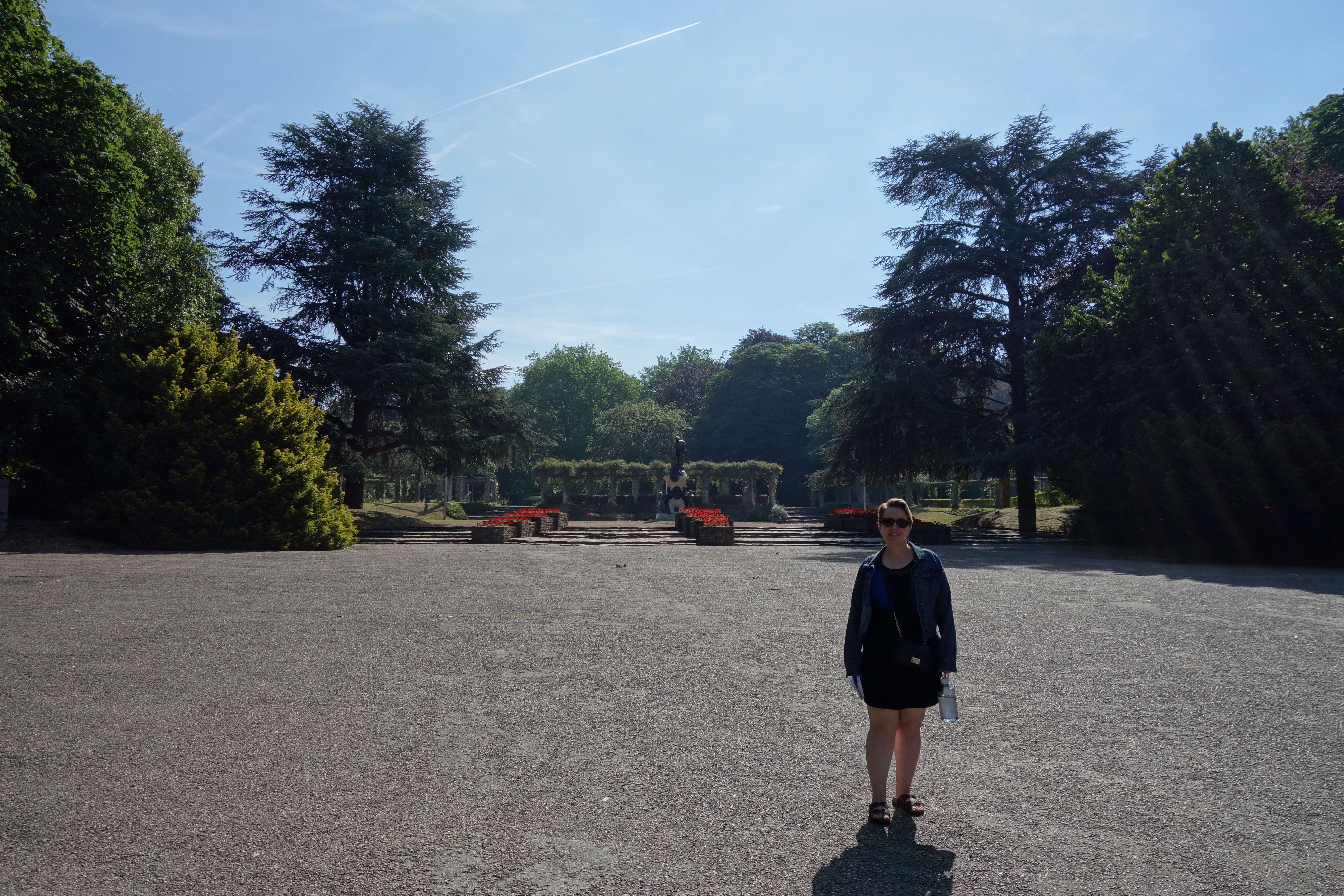
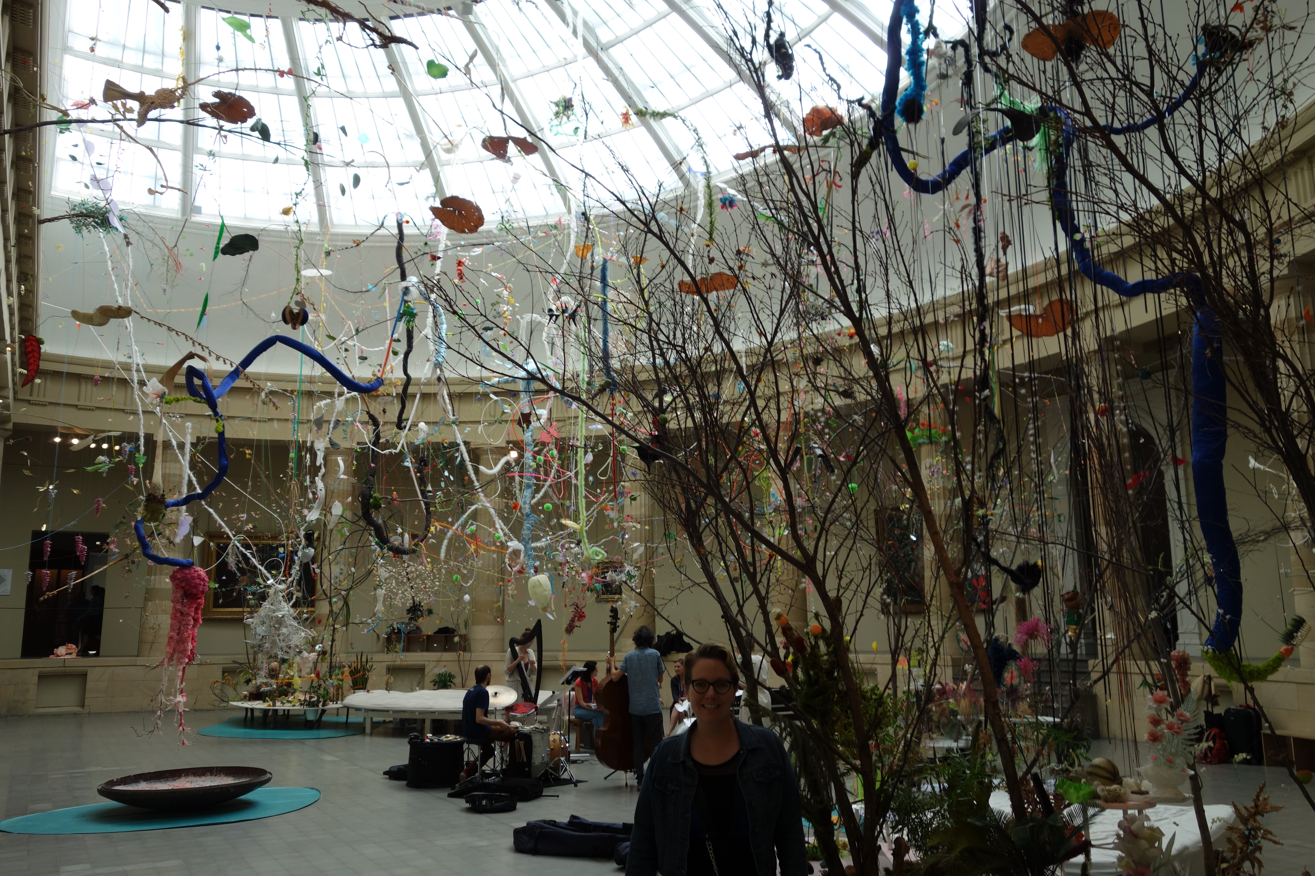
We then headed back to the room for a small rest – it really does seem to help out on these eighty-degree days. I then took Meredith to the north section of the old town, to find a church that had a small museum with religious art in it. We found it, but I was surprised that the church itself was full of modern sculpture. It was not bad, but it was not what I’d expected. We wandered around for a few minutes, then left, and I expressed my confusion on the art inside. Mer asked me for the address of the church, so I looked at it – it was at 79, and we were at 72. Somehow, there were two churches with art exhibits more or less on the same block. So, of course, when we got to the church I was looking for, it was 4:30 and they had just closed.
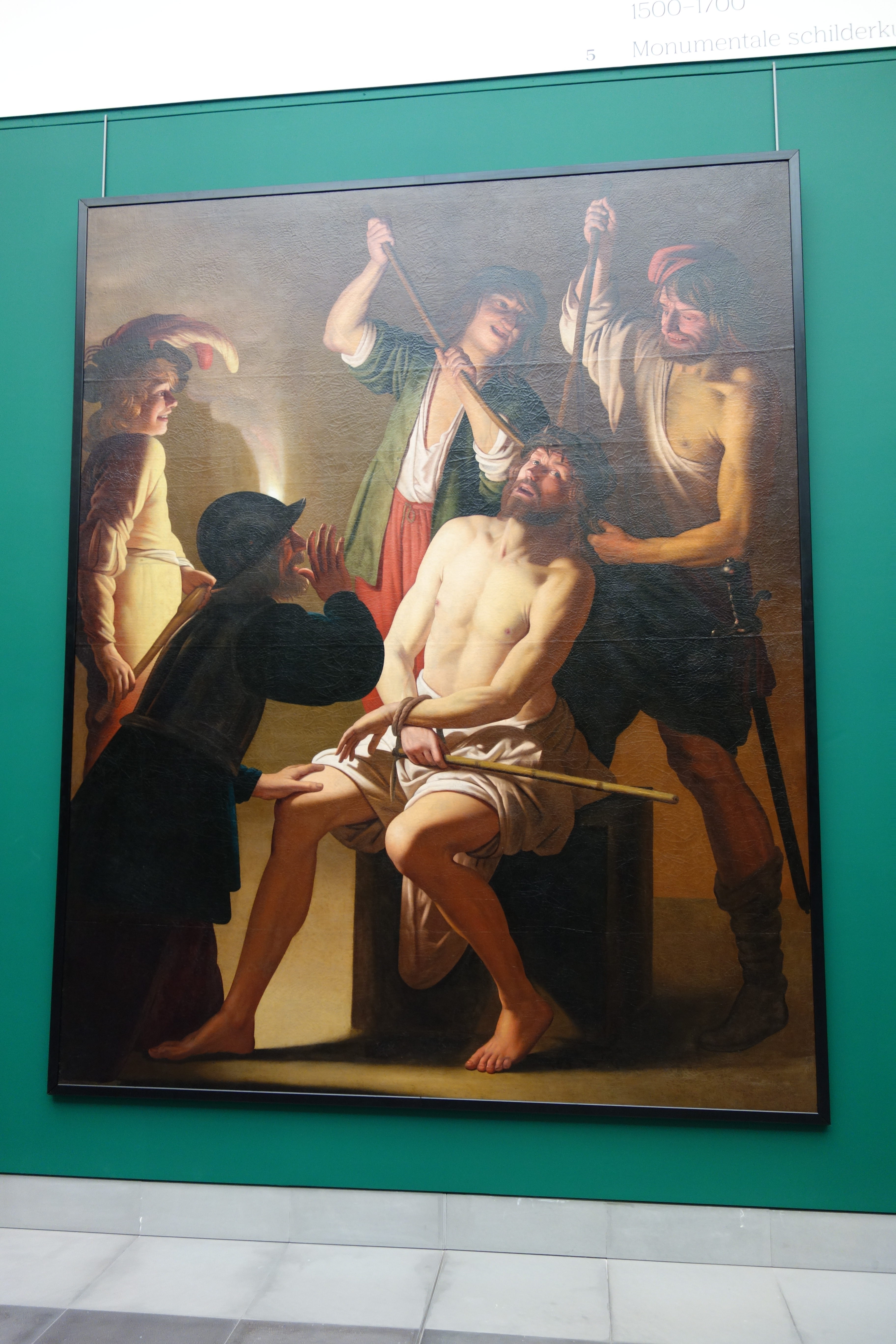
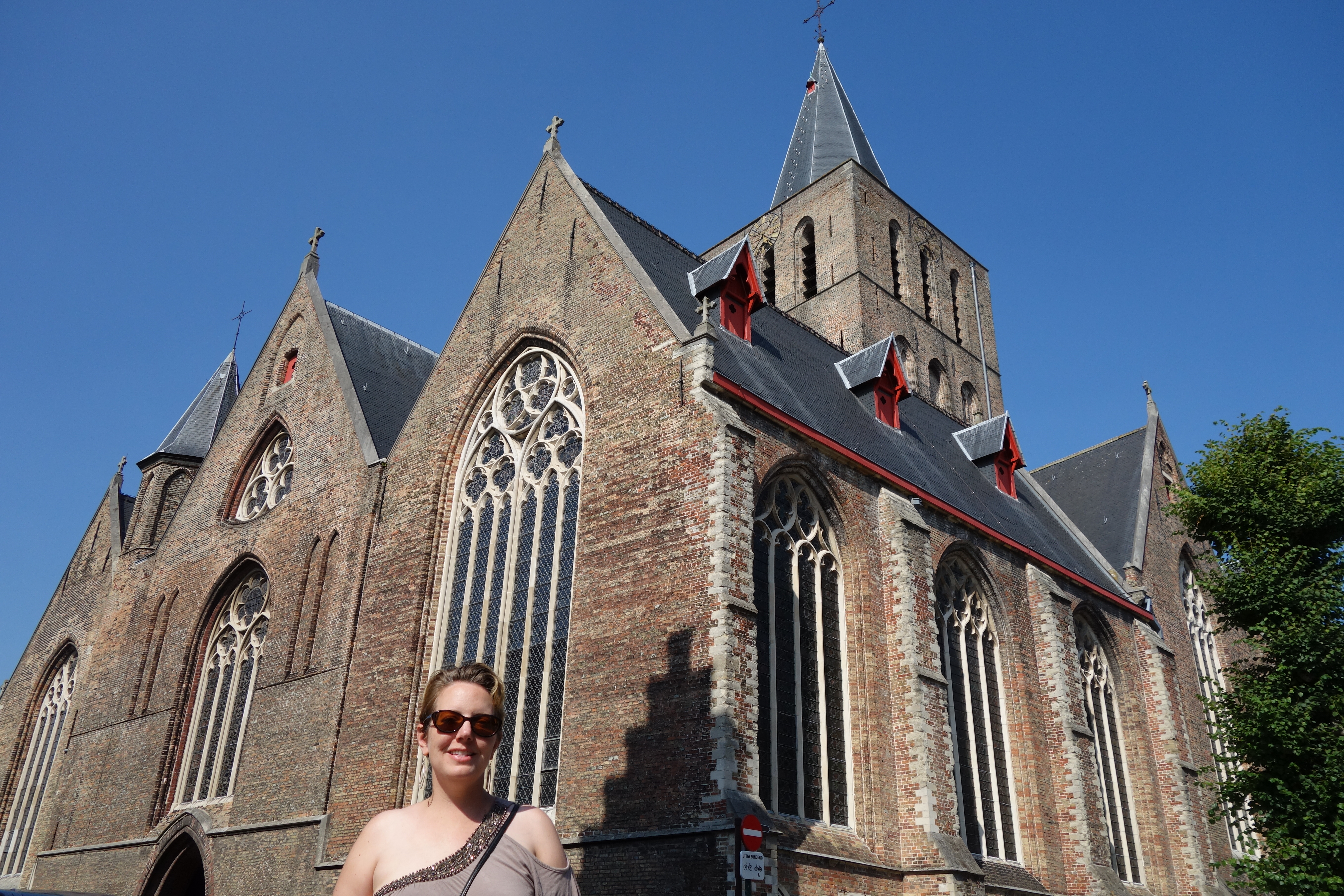 We headed back south, and stumbled across a huge, squat, fortress-like church – St. Giles. The door was open, so we headed in, and found an exhibit on lace (a Belgian specialty) used for the clergy. The church itself, with parts dating from around 1300, was interesting to look at, and there was actually a small printed guide in English to help explain what I was looking at. It was quite thoughtful, and helped in some way make up for the other closed church.
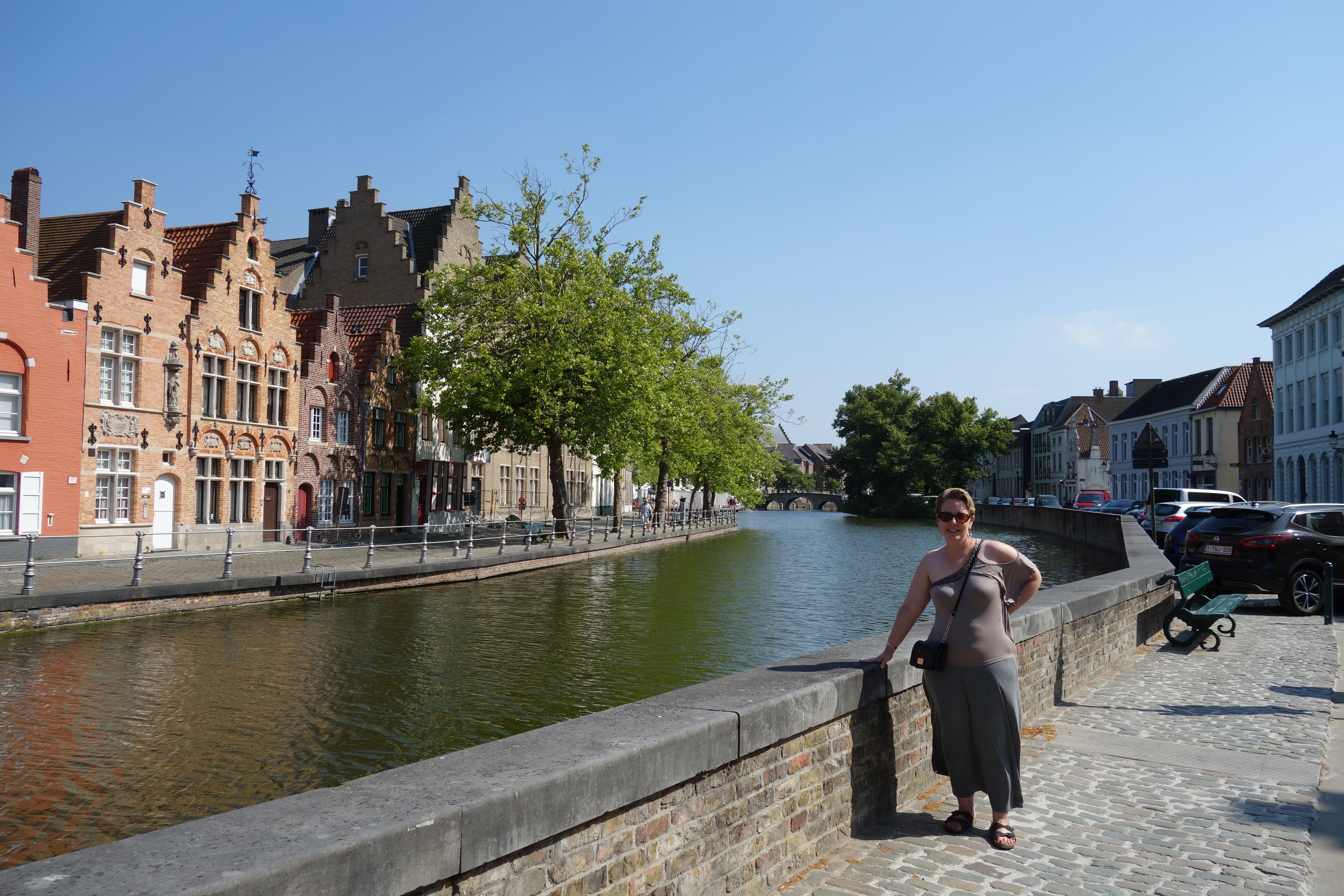
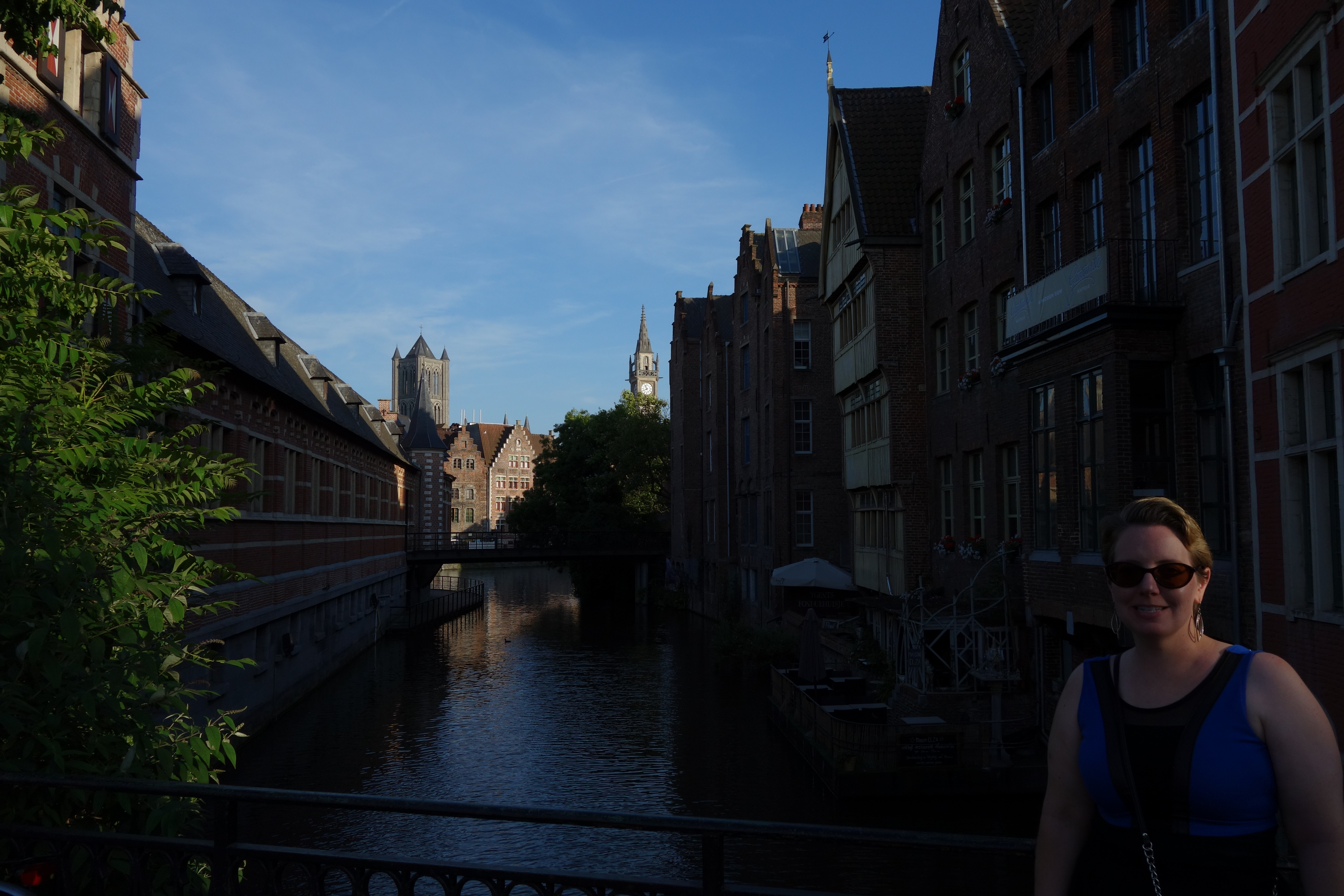
Then we got lost. In my mind, I had crossed a canal, but we had actually only come up to it. Since I had not crossed it, when I headed away from the canal, I was also heading away from the center of town. Mer had mentioned something at the outset about being turned around, but happily, I knew exactly where we were….
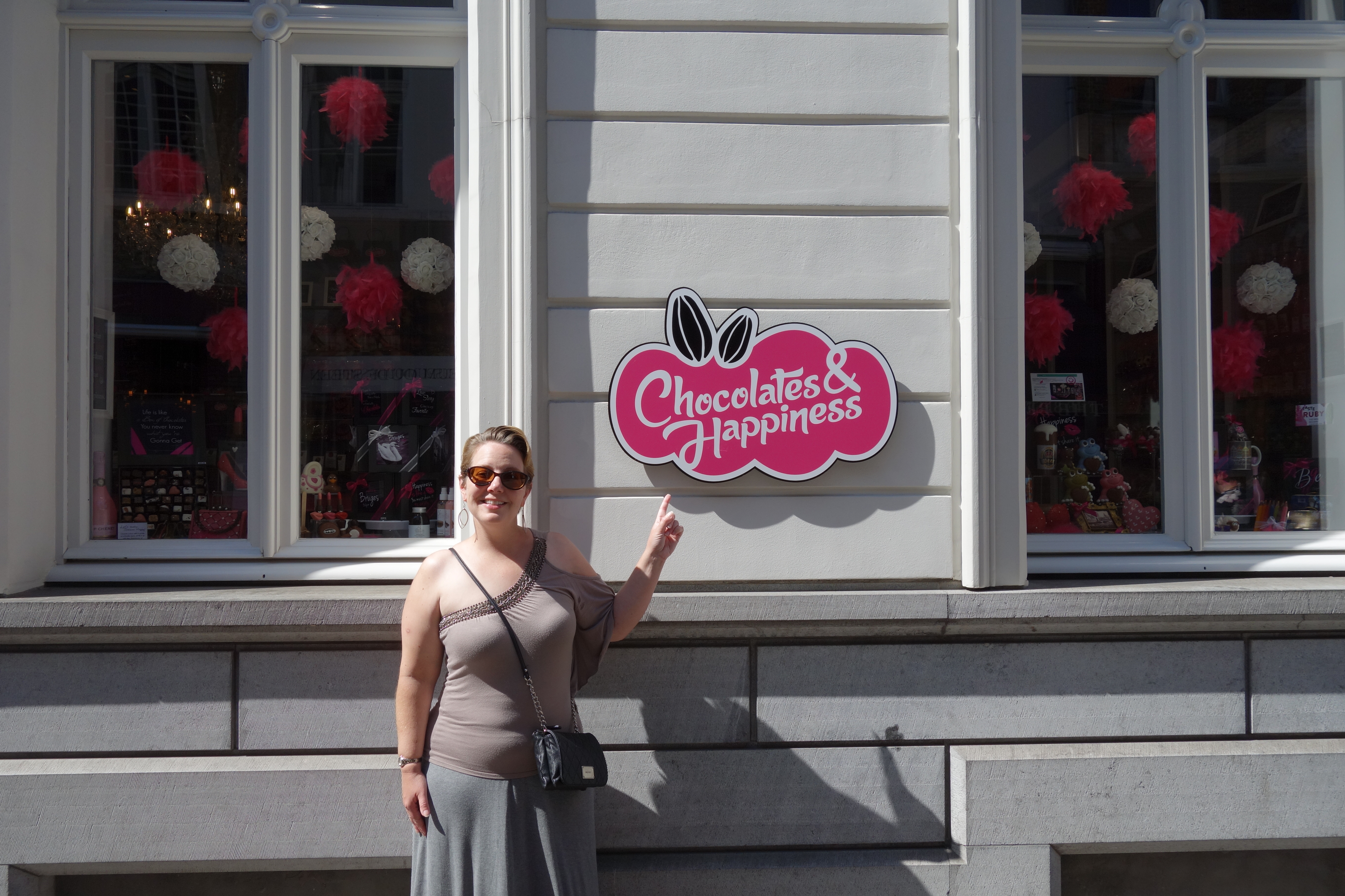 Once we actually found the main squares again, we grabbed supper. On the way back to the B and B, we found an open chocolate shop, so we stopped in and bought some filled chocolates, which we ate in the room. Oh – and the fish market square where there was a concert last night was hosting salsa dancing tonight. I really like this town.
The chocolates were good, but not the amazing I had hoped they would be. For ease, I had bought a pre-packaged set of chocolates. I think we would have had more flavorful success if we had picked them out ourselves. Maybe we’ll find this success when we visit Brussels in a few days.
My first day had a few frustrations, but nothing too bad. We got back to the room a tad early (about 7:00), but it will be good to get a longer sleep tonight before I have to drive two hours to Dinant tomorrow.
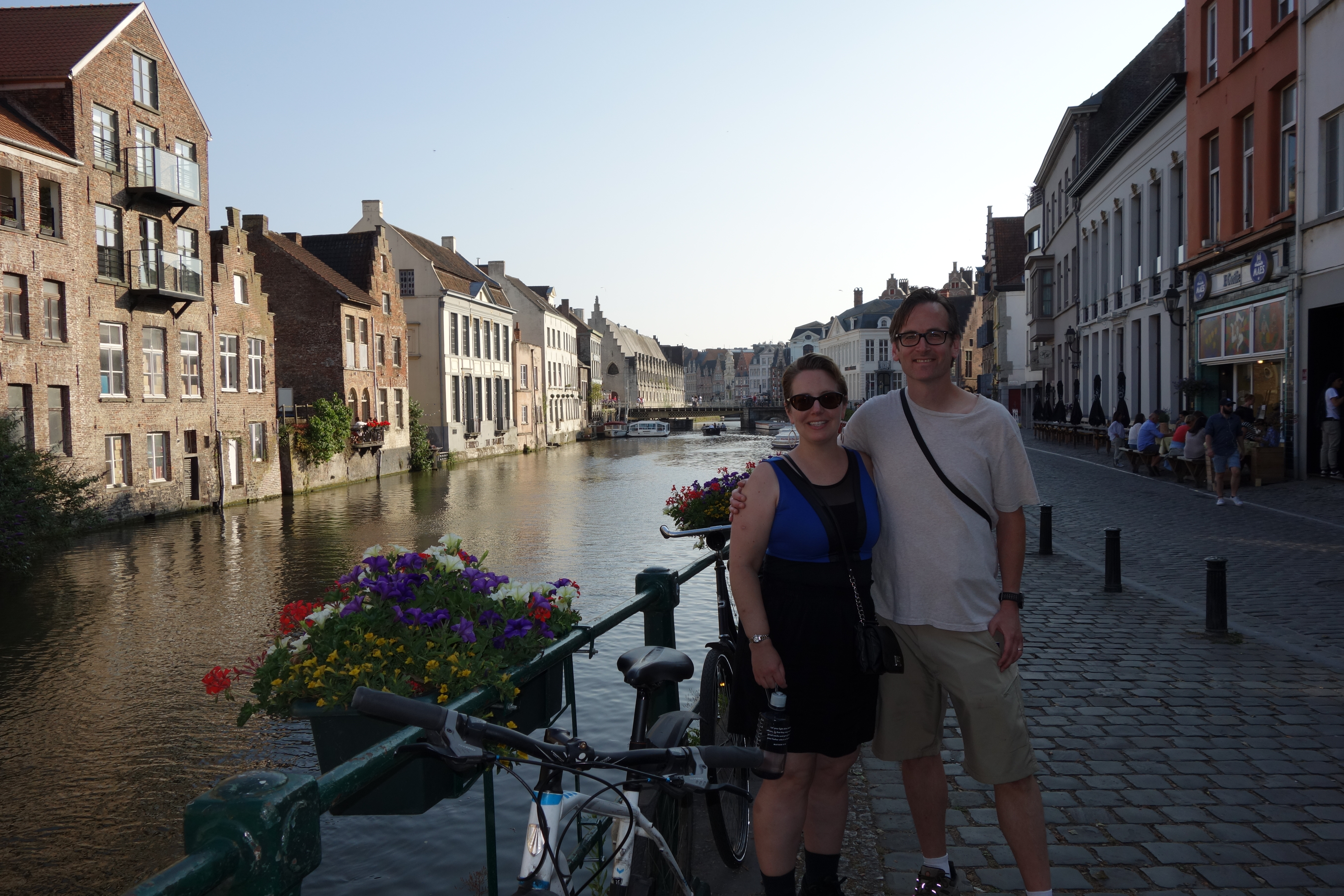
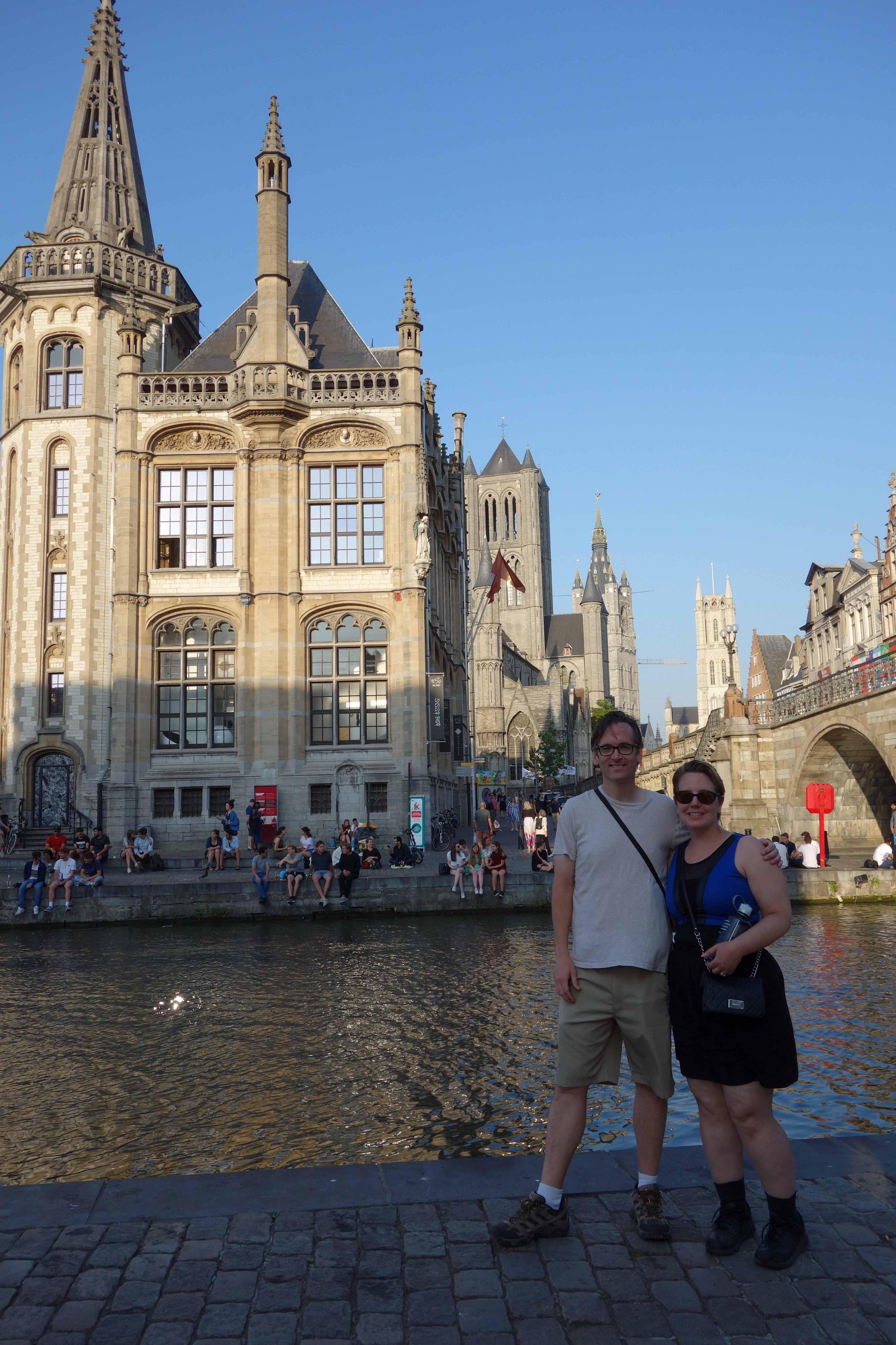
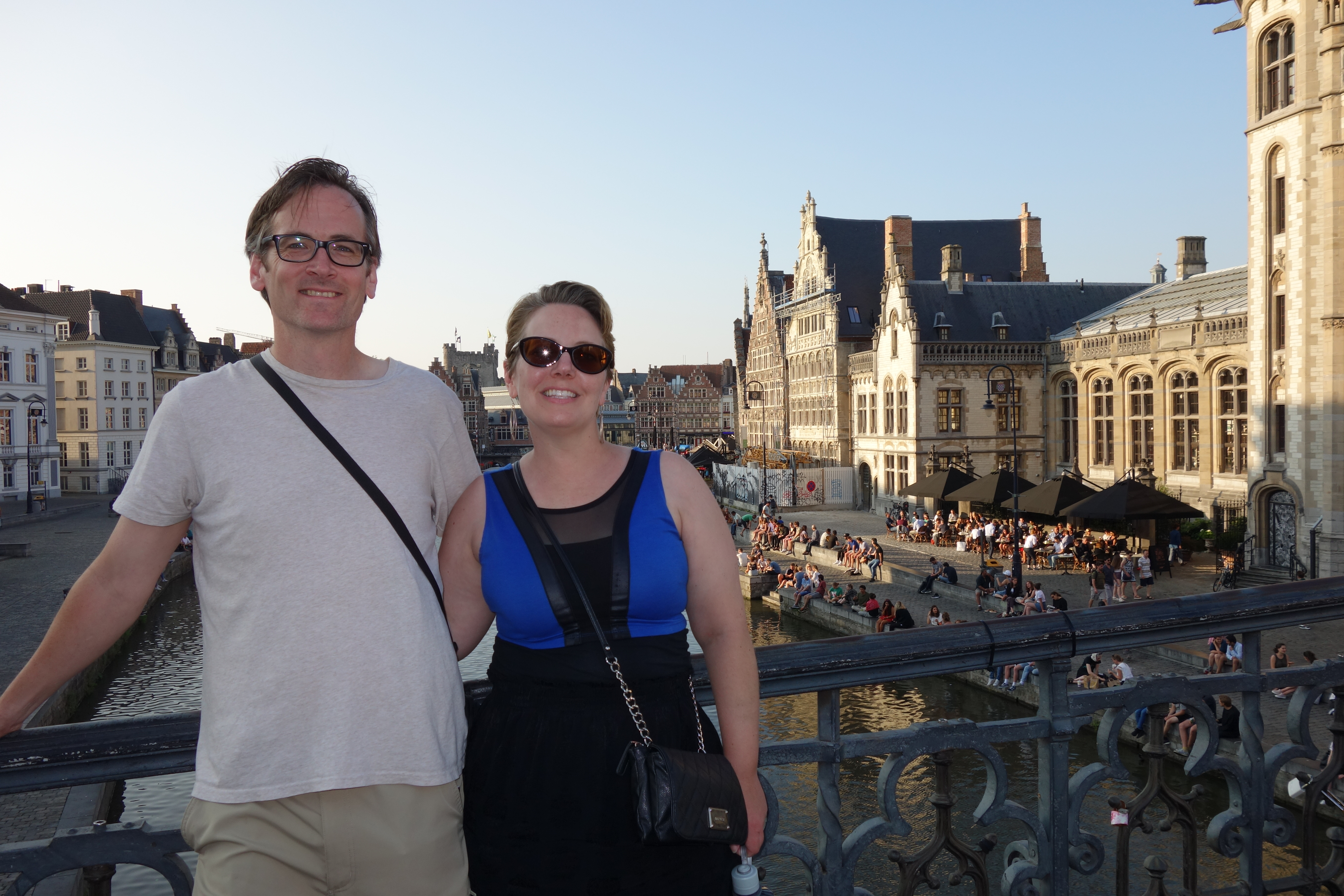
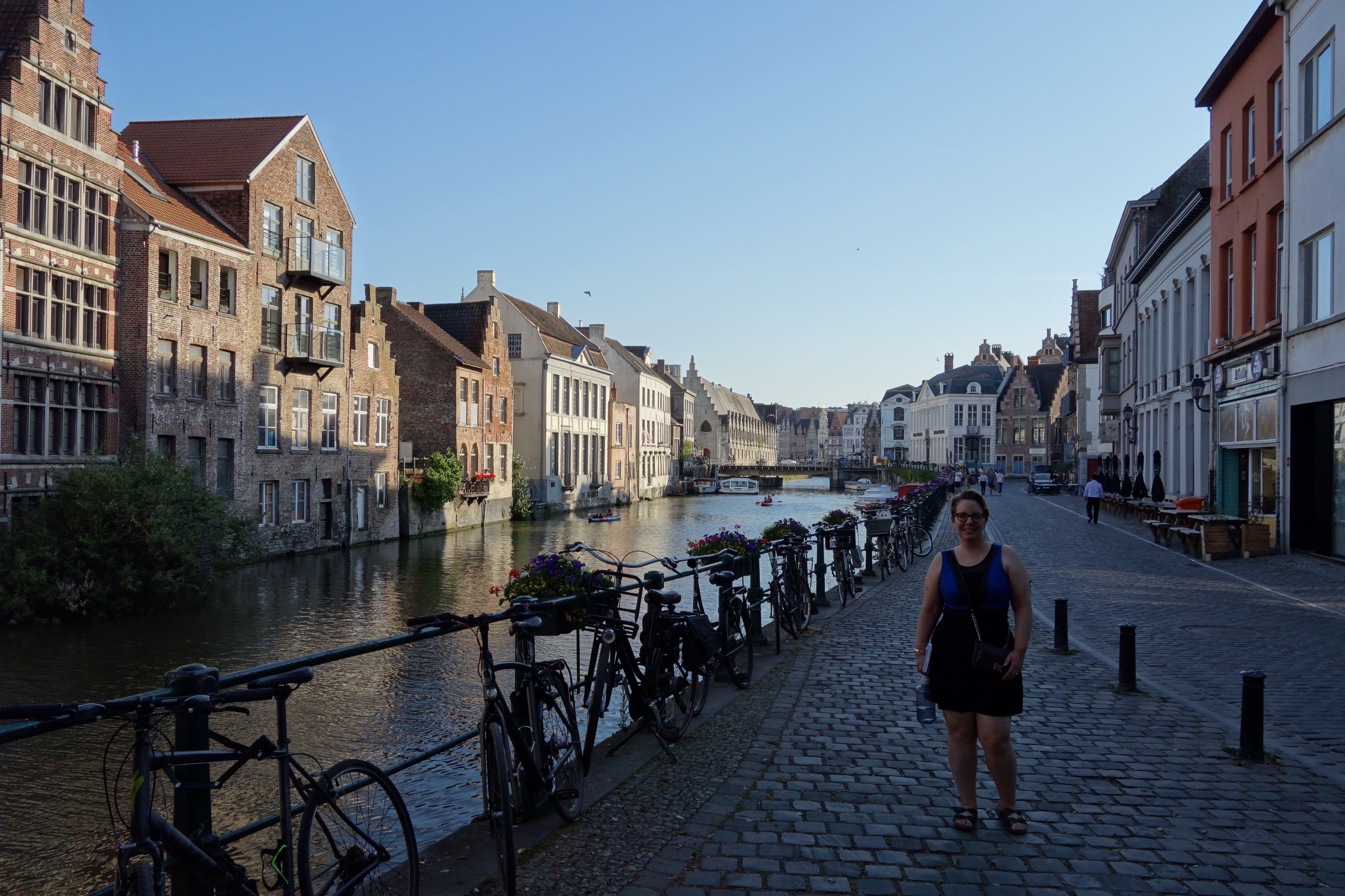
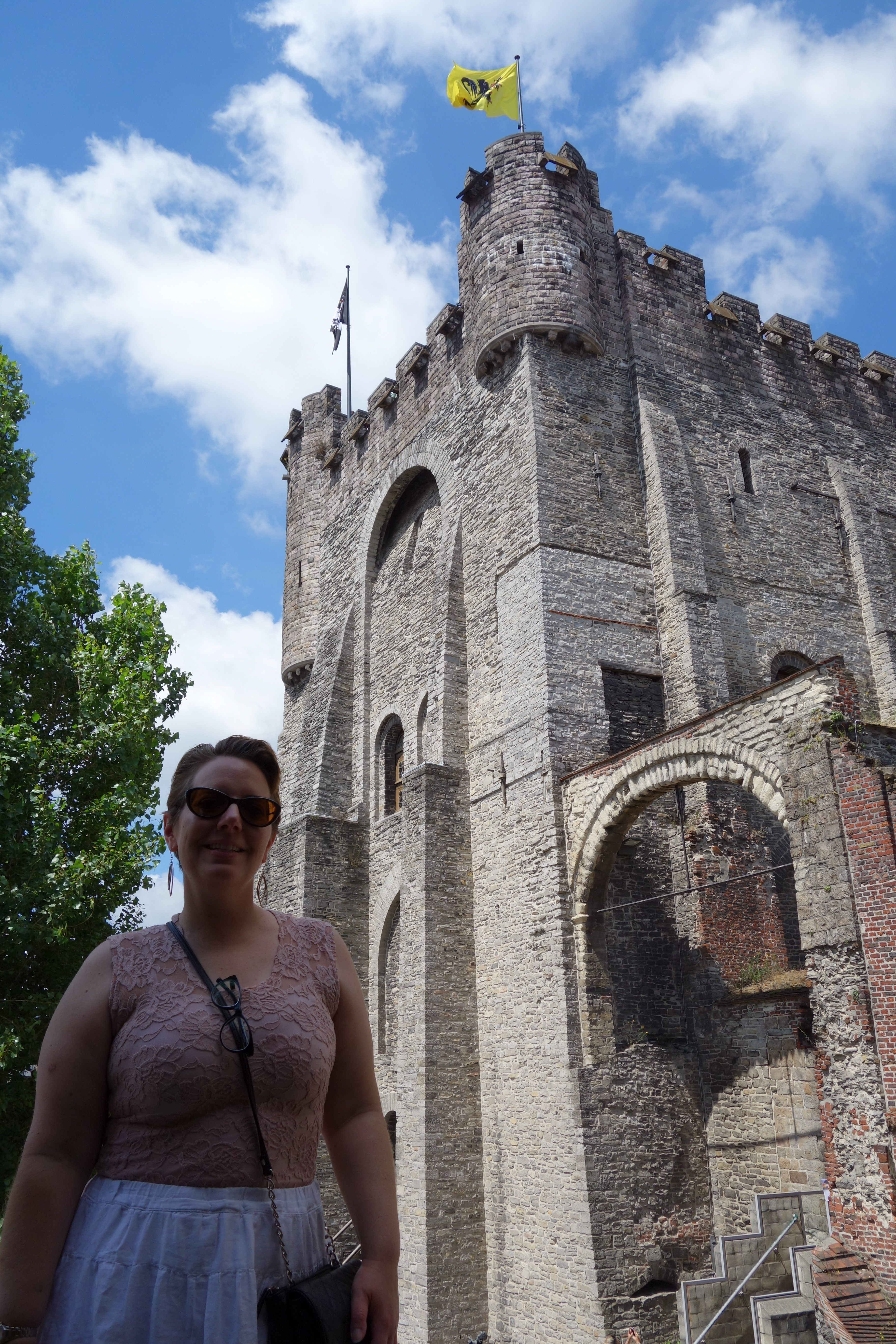
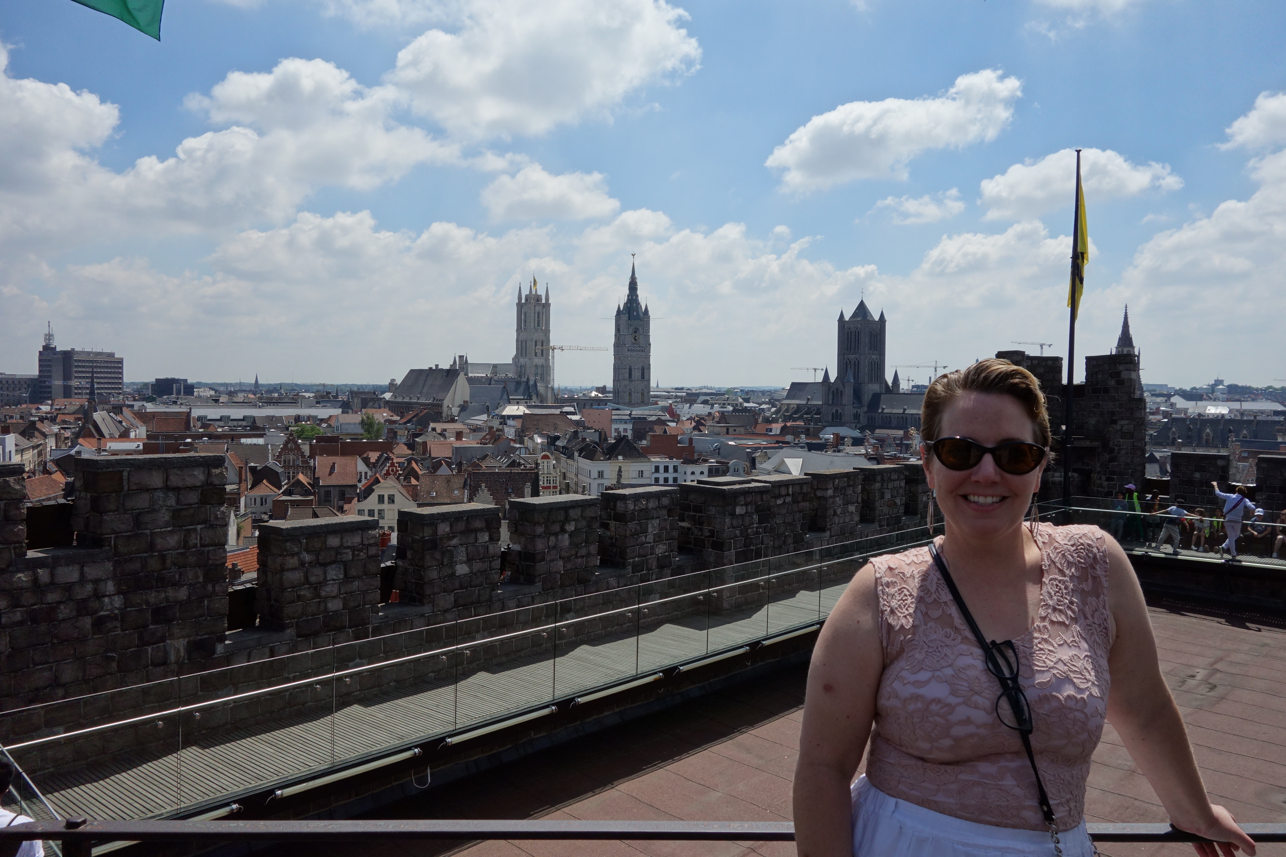
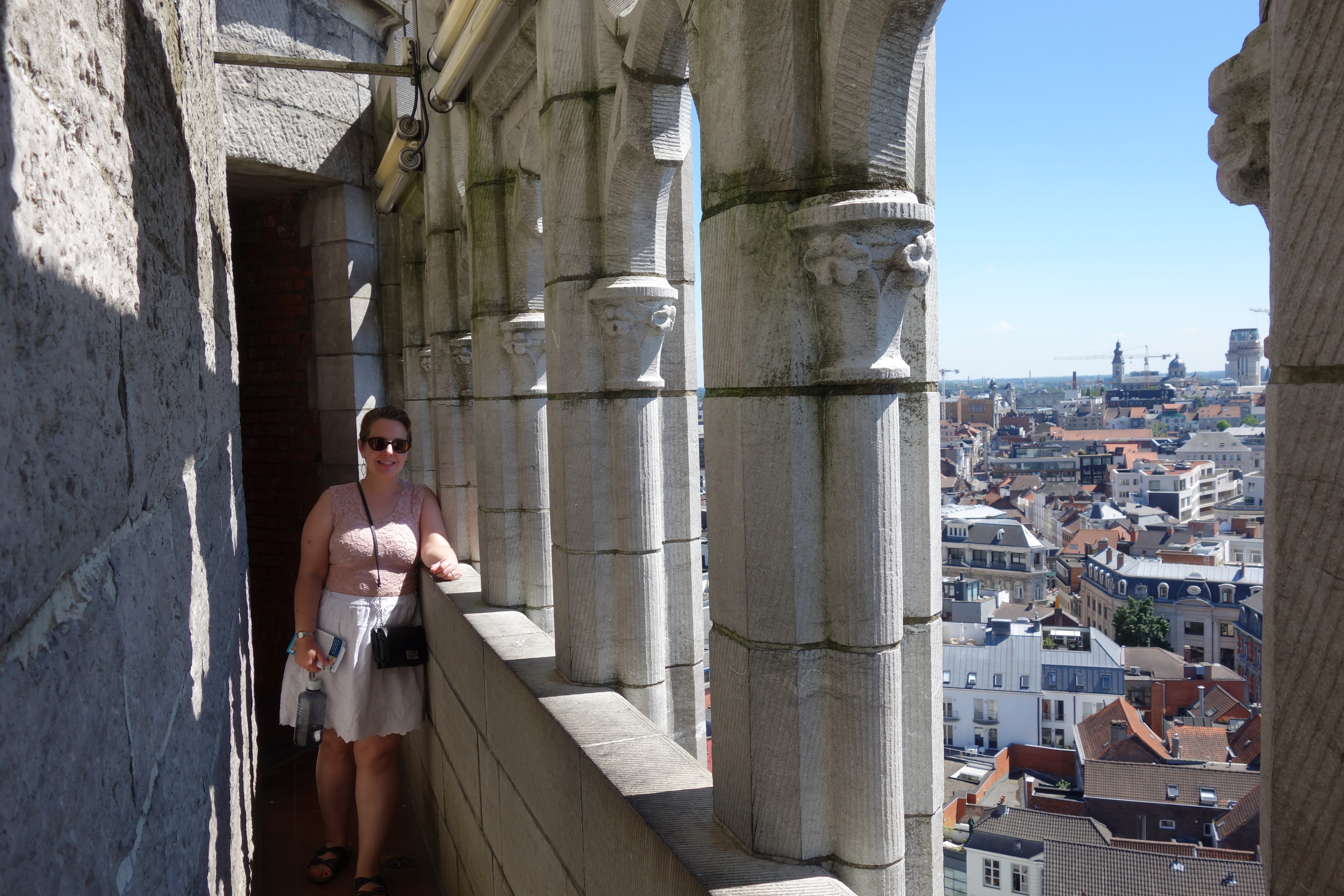
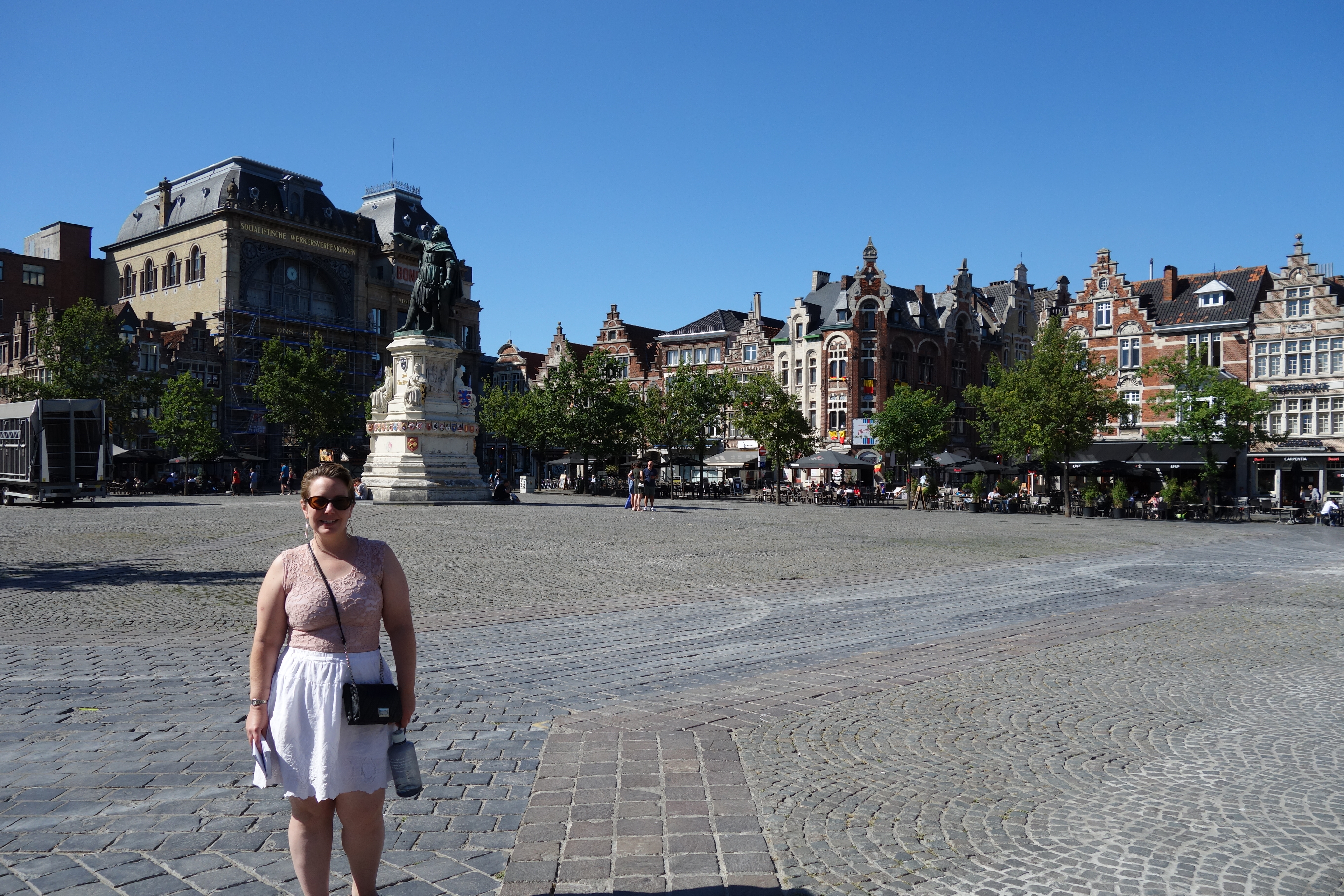
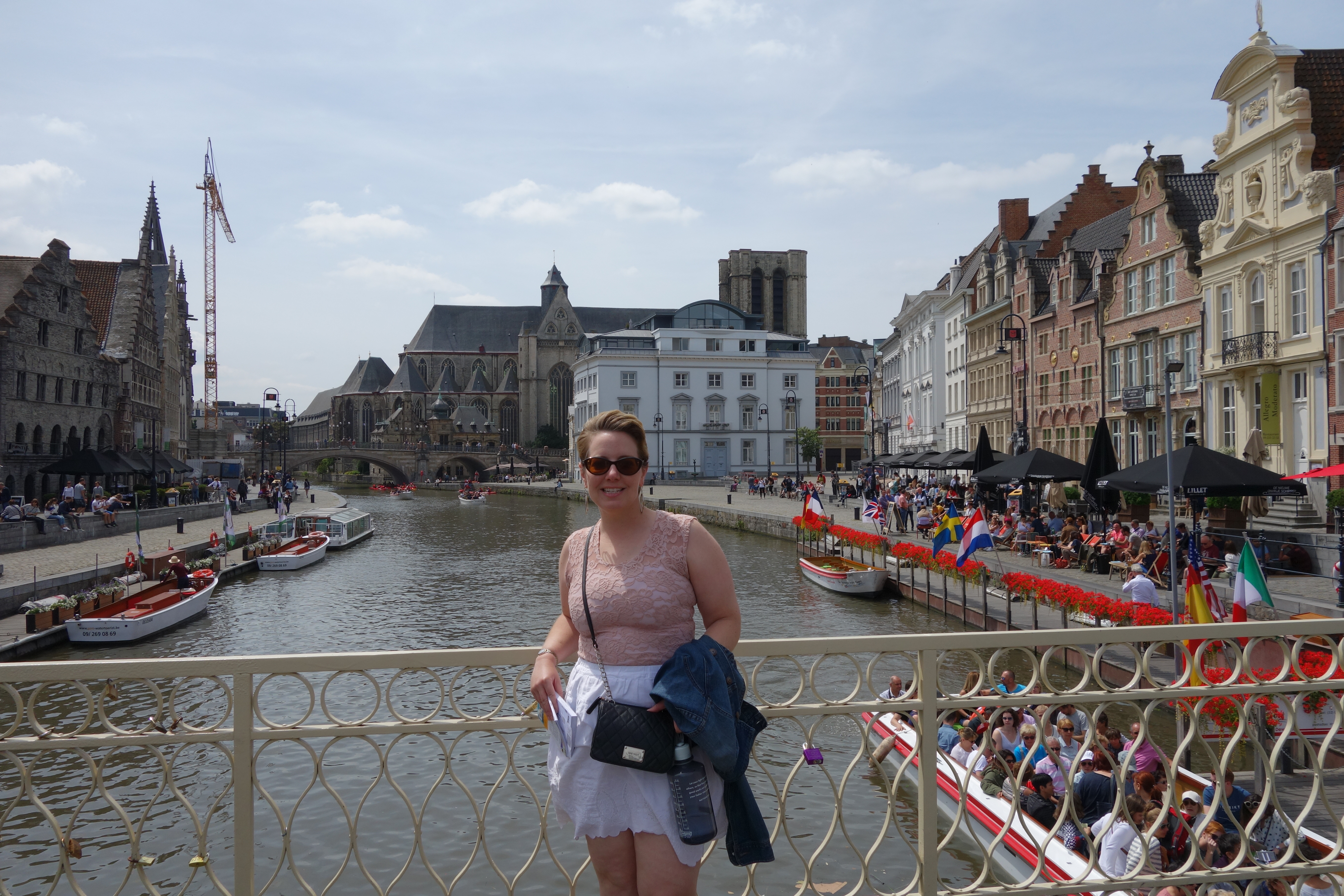
 We took a tram from the train station to the historic center of Ghent, and then found our hotel, which is a converted monastery; the room that Meredith booked for us is really large and really nice. I told Mer there must be some mistake, since I usually am the one splurging for nice digs. We actually didn’t see the room until later in the afternoon – since it was 12:30, we were too early to check in, so we dropped our bags and went back into town for lunch.